
Download Leica Infinity – Advanced Geospatial Data Processing Software
Leica Infinity is a sophisticated software solution developed by Hexagon AB, specifically designed for the surveying and geospatial data processing industries. It plays a critical role in the civil engineering sector by providing advanced tools for managing and analyzing complex surveying data. The Leica Infinity download provides professionals with a powerful platform to integrate, process, and report on data collected from various surveying instruments, ensuring efficiency and accuracy in geospatial projects.
Overview of Leica Infinity
Introduction to Leica Infinity
Leica Infinity serves as a central hub for surveying data, offering a comprehensive suite of tools tailored for professionals in surveying, civil engineering, and geospatial data analysis. Developed by Hexagon AB, a leader in information technology, this software is engineered to streamline the entire workflow from field data collection to final project deliverables. Its significance in the civil engineering sector lies in its ability to manage large datasets and complex information derived from advanced surveying techniques, ensuring project accuracy and timely completion.
Core Functionalities and Features
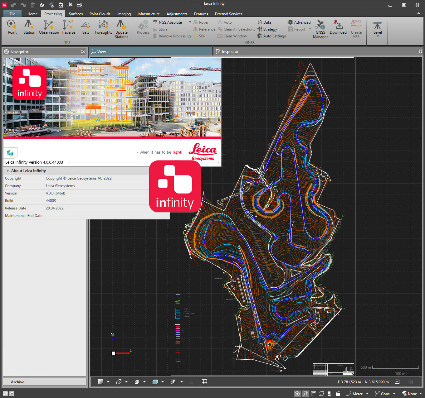
Leica Infinity is distinguished by its dynamic user interface and robust data processing capabilities, particularly for point clouds. The software is engineered to handle the challenges of modern surveying, offering efficient tools for a clear understanding of project sites.
- Point Cloud Processing: Advanced tools for the efficient handling, visualization, and processing of laser scan data and other point cloud information.
- Dynamic User Interface: An intuitive and responsive interface designed to enhance user productivity and simplify complex operations.
- Integration Capabilities: Seamless integration with Building Information Modeling (BIM), Computer-Aided Design (CAD), and Geographic Information System (GIS) platforms is a core strength, allowing for a unified project environment.
Applications in Surveying and Civil Engineering
In real-world scenarios, Leica Infinity is instrumental in managing the complexities of civil engineering projects. It facilitates efficient data handling from initial site surveys through to construction and monitoring phases.
- Site Data Collection and Analysis: Used to process data from total stations, GNSS receivers, and scanners for accurate topographic mapping and site analysis.
- Construction Projects: Enables precise control and monitoring during construction phases, ensuring that built elements align with design specifications.
- Infrastructure Development: Supports the planning, design, and maintenance of infrastructure projects by providing accurate geospatial data and analysis.
Data Integration and Reporting Capabilities
A key strength of Leica Infinity is its capacity to consolidate diverse datasets into a cohesive project environment, significantly enhancing workflow efficiency and the quality of project reports.
- Multi-Source Data Consolidation: Seamlessly combines data from various instruments and formats, including terrestrial laser scanning, mobile mapping, and traditional surveying methods.
- Geospatial Data Handling: Efficiently manages and processes geospatial data, ensuring consistency and accuracy across different project phases.
- Comprehensive Reporting Tools: Offers robust reporting functionalities that allow users to generate detailed and customized reports for analysis, documentation, and client presentations, enhancing overall project communication.
Advantages of Using Leica Infinity
Leica Infinity provides several key advantages that optimize project outcomes and improve operational efficiency for surveying and civil engineering professionals.
- Enhanced Workflow Efficiency: Streamlines the entire surveying data processing workflow, reducing manual effort and saving valuable time on projects.
- Superior Data Integration: Offers unparalleled integration with other Hexagon surveying technologies and third-party software like BIM, CAD, and GIS platforms, creating a unified project ecosystem.
- Improved Project Accuracy: By providing precise data processing and analysis tools, it contributes to higher levels of accuracy in surveys and construction, minimizing errors and rework.
- User-Friendly Interface: The intuitive design of the software makes it accessible and efficient for both experienced professionals and newer users in the field.
User Experience and Support
Hexagon AB focuses on providing a positive user experience for Leica Infinity, complemented by comprehensive support and training resources.
- Intuitive Interface: The software features a clean and logically organized user interface, designed for ease of navigation and operational efficiency right from the start.
- Training Resources: Users can access a range of training materials, including tutorials and documentation, to help them master the software’s capabilities.
- Dedicated Support: Hexagon offers professional support services to assist users with technical queries, software issues, and optimal usage strategies, ensuring continuous productivity.
Frequently Asked Questions
What types of data can I process with Leica Infinity?
Leica Infinity enables users to process various data types, including point clouds from laser scans, as well as integrating data from BIM, CAD, and GIS systems. This versatility ensures that professionals can work with a wide array of project information within a single, cohesive environment.
How does Leica Infinity enhance surveying projects?
The software enhances surveying projects by streamlining the data processing workflow, enabling quick access to integrated information and generating accurate reports effectively. Its advanced tools simplify complex data management tasks, leading to more efficient project execution and reliable results.
What makes Leica Infinity different from other surveying software?
Unlike many competing products, Leica Infinity provides robust data integration capabilities, a dynamic user interface, and seamless operation with other Hexagon technologies, which can significantly improve project efficiency. This focus on integration and user experience sets it apart in the geospatial data processing landscape.


Reviews
There are no reviews yet.