
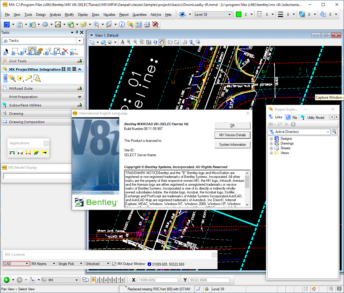
Download Bentley MXROAD V8i – Advanced Road Design Software
Bentley MXROAD V8i is a specialized civil engineering application developed by Bentley Systems, Incorporated, designed for the comprehensive design and engineering of roads and transportation infrastructure. This robust road design software empowers civil engineers and transportation professionals to create precise 3D models and manage complex road projects efficiently. Bentley MXROAD stands out as a pivotal tool within the broader field of infrastructure design software, supporting critical stages of project development.
Overview of Bentley MXROAD V8i
Designed for Comprehensive Road Infrastructure
Bentley MXROAD V8i serves as a cornerstone application in the civil engineering sector, specifically catering to the intricate demands of road and highway design. Its purpose extends beyond simple drafting, offering tools that enable engineers to conceptualize, design, and refine road alignments and associated infrastructure with a high degree of accuracy. The software is vital for projects requiring detailed planning, from initial surveys to final construction documentation, within the broader context of transportation engineering.
Key Capabilities for Road Design
3D Modeling and Visualization Tools
At its core, Bentley MXROAD excels in providing advanced 3D modeling and visualization capabilities essential for modern road design. These tools allow users to construct detailed three-dimensional models of roadways, including terrain, horizontal and vertical alignments, and cross-sections. The ability to generate realistic visualizations aids in design review, client communication, and the identification of potential design conflicts early in the project lifecycle. This makes it a powerful component of any civil engineering toolkit.
Integrations and Compatibility
Interfacing with Google Earth and CAD Systems
Bentley MXROAD V8i enhances the design workflow through its robust integration capabilities. A key feature is its ability to interface directly with Google Earth, enabling engineers to visualize proposed designs within a real-world geographic context. Furthermore, seamless integration with various CAD systems ensures that Bentley MXROAD can fit into existing design pipelines, facilitating data exchange and collaborative workflows. These interoperability features streamline project management and improve overall design efficiency for infrastructure design software users.
Real-World Applications in Civil Engineering
Case Studies and Use Cases
The practical application of Bentley MXROAD V8i is evident in numerous infrastructure projects worldwide. Civil engineers utilize this software for designing everything from urban streetscapes and complex highway interchanges to rural road realignments. Its capabilities are crucial for tasks such as terrain modeling, volume calculations, and ensuring compliance with design standards. By leveraging Bentley MXROAD, professionals can tackle a wide array of transportation engineering challenges, contributing to the development of safer and more efficient transportation networks.
Comparative Analysis with Other Design Tools
Benefits Over Competitors
When compared to other civil engineering tools, Bentley MXROAD V8i offers distinct advantages that support efficient road design. Its specialized focus on road geometry and its ability to integrate effectively with visualization platforms like Google Earth set it apart. The software provides a comprehensive suite of tools geared towards the specific needs of road designers, promoting accuracy and speed in project development. These specialized features make it a strong contender in the infrastructure design software market.
User Experience and Interface
Simplified Navigation and Project Management
Bentley MXROAD V8i is designed with a focus on user experience, incorporating features aimed at simplifying navigation and enhancing project management. The interface allows engineers to access a wide range of tools and functionalities efficiently, reducing the learning curve often associated with complex engineering applications. Effective project management tools within the software help in organizing design data, tracking revisions, and collaborating with team members, ensuring that road design projects proceed smoothly.
Advanced Design Features and Specifications
Efficient Project Development Tools
Beyond its core modeling capabilities, Bentley MXROAD V8i offers a range of advanced design features that contribute to efficient project development. These include tools for intricate intersection design, drainage studies, and earthworks calculations, all essential for comprehensive road infrastructure projects. The software supports engineers in creating detailed designs that meet stringent industry standards, making it a powerful Bentley software solution for complex civil engineering applications.
Frequently Asked Questions
What is Bentley MXROAD used for?
Bentley MXROAD is primarily used for the design and modeling of roads and highways, allowing civil engineers to create precise 3D representations of roadways and transportation infrastructure. It supports the entire lifecycle of road projects, from conceptualization to detailed design and documentation, making it an indispensable tool in transportation engineering.
How does Bentley MXROAD integrate with other software?
Bentley MXROAD can seamlessly integrate with applications like Google Earth and various CAD systems, making it easier to visualize and manage design projects in a familiar environment. This interoperability allows for contextual design within real-world landscapes and facilitates data exchange with other engineering tools crucial for infrastructure design.
What are the major benefits of using Bentley MXROAD over other road design software?
Bentley MXROAD offers advanced 3D modeling tools, a user-friendly interface, and effective project management features, making it a versatile choice for civil engineers compared to other software solutions. Its specialized capabilities for road design, coupled with robust integration options, provide a comprehensive and efficient platform for complex transportation infrastructure projects.


Reviews
There are no reviews yet.