
Download QPS Qinsy 9.8.3 – Advanced Hydrographic Survey Software
QPS Qinsy is a sophisticated hydrographic surveying software suite developed by QPS (Quality Positioning Services). Designed for professionals in the oil, gas, energy, and marine construction industries, Qinsy facilitates comprehensive survey planning, data acquisition, and real-time processing. Its robust functionality and ability to integrate with a wide array of sensors make it a vital tool for complex marine operations.
Overview of QPS Qinsy
Software History and Development
Quality Positioning Services (QPS) has established itself as a key provider of hydrographic software solutions. QPS Qinsy has evolved over time to become a recognized industry standard, known for its reliability and comprehensive feature set. The software’s development has consistently focused on addressing the rigorous demands of marine surveying, from initial planning stages through to final data delivery, ensuring users have a stable and dependable platform for critical operations.
Key Functionalities in Hydrographic Surveying
Multi-Object Support for Marine Projects
A distinguishing feature of QPS Qinsy is its advanced multi-object support, which is critical for managing complex marine projects. This functionality allows for the simultaneous tracking and management of various elements on the water, such as multiple vessels, survey equipment, or underwater assets. This capability is particularly beneficial in dynamic environments like dredging operations, where precise monitoring of different moving objects is essential for efficiency and safety.
Data Acquisition and Processing Capabilities
Integration with Multiple Sensors
QPS Qinsy offers extensive flexibility through its integration capabilities with a wide range of marine survey sensors. This includes, but is not limited to, singlebeam and multibeam echosounders, laser scanners, side scan sonars, magnetometers, and various other positioning and environmental sensors. This broad compatibility ensures that survey teams can leverage their existing equipment and acquire diverse datasets seamlessly within a single software environment, supporting detailed hydrographic data collection.
Real-Time Data Management
Processing and Visualization Tools
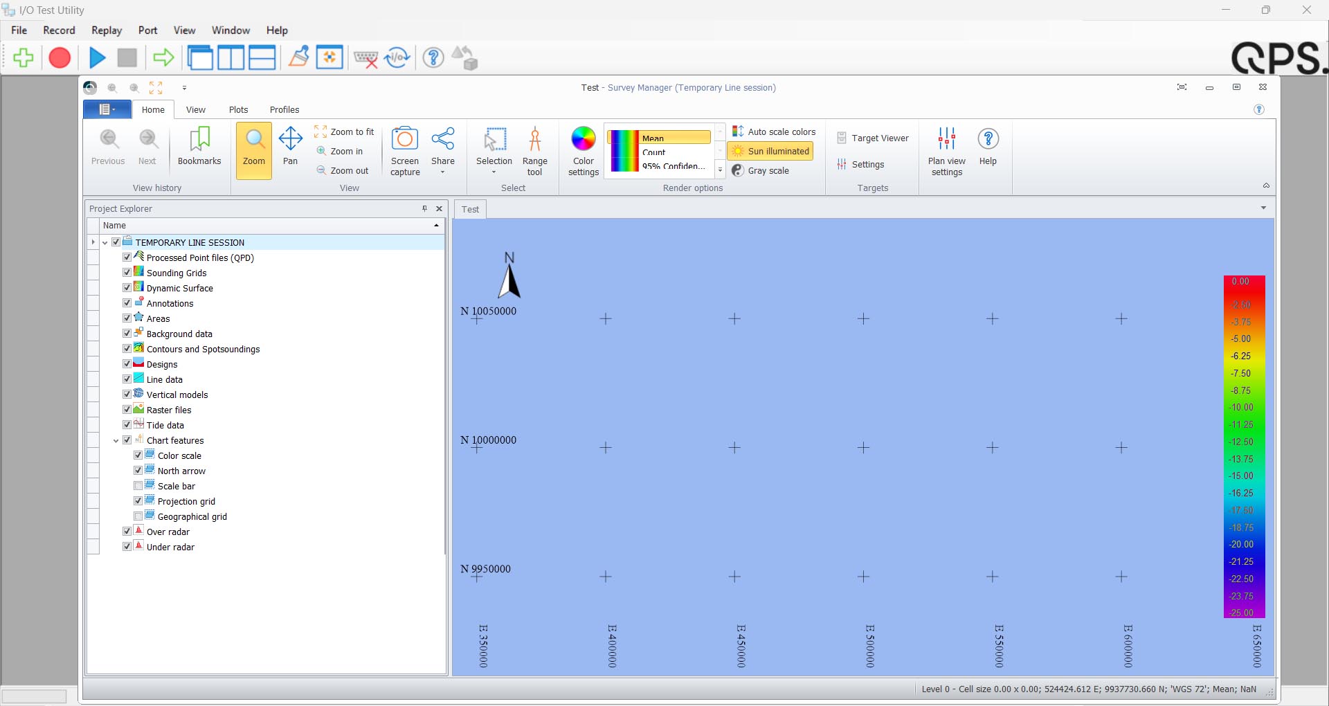
The software distinguishes itself with robust real-time data processing and visualization capabilities. QPS Qinsy processes incoming data from all connected sensors instantaneously, providing operators with immediate feedback on survey progress and data quality. This includes the generation of real-time point clouds and bathymetric grids, which are crucial for making informed decisions during marine operations and ensuring that data accuracy meets project requirements.
Applications in Marine Construction
Dredging Support and Operational Safety
QPS Qinsy provides specialized tools that significantly enhance marine construction and dredging projects. It offers advanced visualization of dredge areas, including real-time cross-sections and volume calculations, which are vital for monitoring progress and ensuring adherence to contract specifications. The software’s focus on real-time positioning and object tracking also contributes to improved operational safety by providing clear situational awareness for all vessels and equipment involved.
User Experience and Engagement
Navigation and Display Features
The user interface of QPS Qinsy is designed to provide operators with efficient navigation and clear data display, even in challenging field conditions. It offers customizable layouts, multiple display windows, and intuitive controls for managing survey tasks. This focus on user experience ensures that operators can effectively monitor survey lines, sensor data, and vessel positioning, contributing to accurate and productive fieldwork.
Conclusion
QPS Qinsy remains an indispensable tool for professionals engaged in hydrographic surveying, marine construction, and dredging. Its comprehensive functionalities, particularly its multi-object support, extensive sensor integration, and advanced real-time hydrographic data processing, underscore its value in demanding maritime environments. The software’s proven stability and versatility make it a critical asset for ensuring operational efficiency, data accuracy, and project success.
Frequently Asked Questions
What types of sensors does QPS Qinsy support?
QPS Qinsy supports a wide variety of sensors critical for comprehensive hydrographic surveys. This includes singlebeam and multibeam echosounders, laser scanners, side scan sonars, magnetometers, and seismic sensors, enabling versatile data acquisition.
How does Qinsy handle real-time data processing?
Qinsy excels in real-time hydrographic data processing, allowing users to manage and visualize incoming sensor information instantaneously. This capability facilitates quicker decision-making during marine operations and ensures immediate feedback on data quality.
Is QPS Qinsy suitable for both small and large-scale projects?
Yes, QPS Qinsy is tailored for a range of applications, from simple single beam surveys to complex offshore construction projects. Its scalable features and robust capabilities make it adaptable for various project sizes and complexities.


Reviews
There are no reviews yet.