
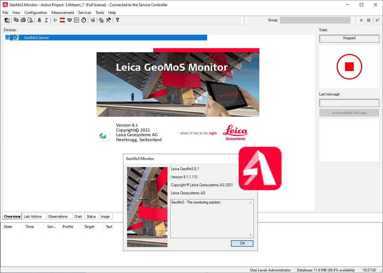
Download Leica GeoMoS Monitor 8.1.1 – Advanced Geotechnical Monitoring Software
Leica GeoMoS Monitor 8.1.1, developed by Leica Geosystems, is a professional surveying software designed for advanced geotechnical and environmental monitoring. This scalable solution offers robust capabilities for managing complex monitoring systems, integrating diverse sensor data, and performing detailed analysis to support critical decision-making in fields such as civil engineering and environmental science.
Introduction to Leica GeoMoS Monitor
Overview of the Software
Leica GeoMoS Monitor is a powerful application within the Leica GeoMoS family, providing a versatile platform for continuous monitoring. It is engineered to handle large volumes of data from various sources, enabling users to gain insights into ground movement, structural stability, and environmental changes. The software’s design prioritizes adaptability, allowing it to be configured for projects ranging from small-scale local monitoring to extensive, complex infrastructure systems.
Key Features and Capabilities
Integration and Compatibility
A core strength of Leica GeoMoS Monitor lies in its extensive integration capabilities. The software is built to connect seamlessly with a wide array of sensors, including those from Leica Geosystems and numerous third-party providers. This sensor integration ensures that users can leverage existing equipment and customize their monitoring networks without being locked into a single vendor.
- Supports integration with various types of sensors for comprehensive data acquisition.
- Facilitates connection to different hardware platforms and communication protocols.
- Enables the creation of unified monitoring networks from diverse data streams.
Data Management and Reporting
Leica GeoMoS Monitor offers robust tools for data processing, analysis, and reporting, crucial for effective monitoring workflows. The software allows for efficient management of collected data, with customizable options to present findings clearly.
- Features powerful, customizable reporting tools for generating detailed analyses.
- Supports easy visualization of data through graphs, images, and maps.
- Enables users to create tailored reports without requiring advanced web design skills.
Real-World Applications of Leica GeoMoS Monitor
The practical applications of Leica GeoMoS Monitor span critical infrastructure projects and environmental management initiatives. Its capability to provide continuous, reliable data makes it indispensable for understanding and mitigating risks associated with geological and environmental changes.
- Geotechnical Monitoring: Used for monitoring slopes, tunnels, dams, and construction sites to detect potential instability and ensure safety.
- Environmental Monitoring: Applied in tracking subsidence, groundwater levels, and pollution, providing essential data for environmental protection and regulatory compliance.
- Infrastructure Stability: Supports the long-term monitoring of bridges, buildings, and other critical structures to assess their integrity and operational safety.
- Construction Projects: Aids in managing the impact of construction activities on surrounding environments and structures.
Mathematical and Computational Tools
Leica GeoMoS Monitor employs sophisticated mathematical and computational tools to ensure the reliability and accuracy of monitoring data. These features are fundamental to its function as a professional surveying solution.
- Includes advanced algorithms for outlier detection to identify and flag erroneous measurements.
- Integrates data validation processes that ensure the quality and consistency of incoming sensor data.
- Performs continuous calculations and analysis on time-series data to identify trends and deviations.
- Utilizes methods common in surveying and geotechnical engineering for precise data interpretation.
Continuous Monitoring and Notification Systems
The software is designed for continuous operation, providing real-time insights and immediate alerts when critical thresholds are approached or breached. This proactive approach is vital for timely intervention in potentially hazardous situations.
- Supports automated monitoring cycles for uninterrupted data collection.
- Enables the setup of customized alarm notifications based on predefined limit tests.
- Facilitates rapid response to detected anomalies or critical events, minimizing potential damage or risk.
- Provides clear visual feedback on system status and data integrity.
Conclusion and Future Developments
Leica GeoMoS Monitor 8.1.1 stands as a comprehensive and adaptable solution for professionals engaged in geotechnical and environmental monitoring. Its strong integration capabilities, advanced data analysis tools, and automated notification systems solidify its role as a key component in modern infrastructure management and safety protocols. While specific details on version 8.1.1 enhancements remain proprietary, the software’s foundation in robust, scalable monitoring continues to evolve, promising further advancements in data processing efficiency and predictive analytics for future applications.
Frequently Asked Questions
What types of sensors can be connected to Leica GeoMoS Monitor?
Leica GeoMoS Monitor supports a wide variety of sensors from Leica Geosystems as well as third-party systems, allowing for versatile integration in monitoring projects. This flexibility enables users to tailor the software to their specific needs effectively, accommodating diverse data acquisition requirements.
How does Leica GeoMoS Monitor ensure data accuracy?
The software incorporates built-in outlier detection, data validation, and filtering mechanisms which help to maintain high accuracy and reliability of collected data across various monitoring environments. These processes systematically check incoming measurements against predefined criteria and historical data.
What customization options are available in Leica GeoMoS Monitor?
Users can customize graphs, images, maps, and reports without requiring extensive web design knowledge. The interface is designed for accessibility, making it easier for professionals to tailor the presentation of collected data to suit specific project requirements and stakeholder needs.


Reviews
There are no reviews yet.