
Download Leica MissionPro 12.9 – Advanced 3D Mission Planning Software
Leica MissionPro 12.9 is an advanced 3D mission planning software developed by Leica Geosystems, a leader in high-precision surveying instruments and solutions. This specialized geospatial software is designed for professionals in the geospatial and aerial survey industries, particularly those working with LiDAR and photogrammetry applications. It enhances airborne mission planning through an intuitive 3D virtual globe interface and integrated multi-sensor capabilities.
Overview of Leica MissionPro
Company Background
Leica Geosystems has established a long-standing reputation for delivering high-precision surveying instruments and sophisticated software solutions. Their expertise spans across geospatial measurement, terrain modeling, and meticulous survey planning. The company’s commitment to innovation is evident in tools like Leica MissionPro, which are engineered to streamline complex workflows in the surveying and geospatial sectors.
Key Features and Functionalities
3D Virtual Globe View
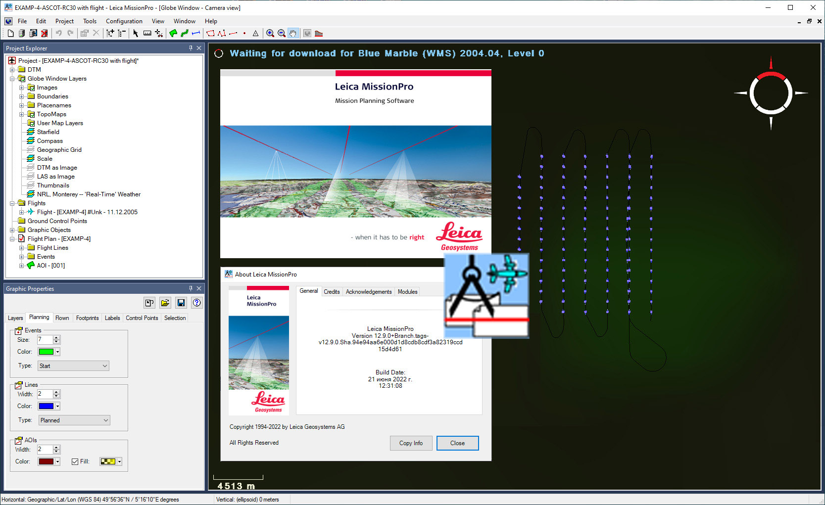
Leica MissionPro features a unique 3D virtual globe view that provides users with an immersive and interactive visualization of their mission area. This capability allows for more intuitive planning, precise estimation of project parameters, and a clearer assessment of survey coverage and potential challenges before flight operations commence.
Integrated Multi-Sensor Planning
The software excels in its ability to integrate the planning of multiple sensors within a single, unified environment. This function is crucial for complex aerial surveys that require data from various sources, such as LiDAR scanners, frame cameras, and line sensors. By consolidating planning efforts, Leica MissionPro ensures compatibility and efficiency across different sensor types.
Computation Algorithms for Accurate Planning
At its core, Leica MissionPro utilizes sophisticated computation algorithms, drawing on Digital Terrain Model (DTM) data to optimize flight paths and survey parameters. These algorithms enhance planning efficiency and accuracy, ensuring that mission objectives are met with minimal overlap and maximum data acquisition effectiveness, which is vital for LiDAR planning software.
Applications in the Geospatial Industry
In the geospatial industry, Leica MissionPro is instrumental for a range of aerial survey applications. It is widely used for detailed LiDAR planning, enabling the acquisition of high-resolution point cloud data for terrain mapping and infrastructure analysis. Furthermore, its capabilities extend to photogrammetry projects, facilitating the creation of accurate 2D and 3D models from aerial imagery. The software supports professionals in fields requiring precise geospatial data, such as urban planning, environmental monitoring, and detailed land management.
Efficiency and Productivity Gains
Leica MissionPro is engineered to significantly boost productivity in airborne survey operations. Its user-friendly interface and advanced planning tools reduce the learning curve for new users, thus lowering training time. The integrated approach to multi-sensor planning and the accuracy derived from its algorithms streamline the entire pre-flight process, leading to faster project completion and increased operational output for surveying teams.
Comparative Advantage over Other Software
Compared to other mission planning tools, Leica MissionPro distinguishes itself through its comprehensive 3D visualization capabilities and its seamless integration of diverse sensor planning. While many software packages offer standard planning features, Leica MissionPro’s focus on a virtual 3D globe and its sophisticated algorithmic approach for DTM-based path optimization provide a more intuitive and precise planning experience. This makes it a powerful solution for complex airborne survey tasks.
Real-World Use Cases
Projects benefiting from Leica MissionPro often involve detailed mapping and monitoring efforts. For instance, urban planning initiatives leverage the software to meticulously plan aerial surveys for creating up-to-date city models and infrastructure assessments. Environmental monitoring projects also rely on its robust LiDAR planning features to gather precise data for analyzing land changes, forest health, or water bodies. These applications demonstrate how Leica MissionPro contributes to successful, data-driven outcomes in critical geospatial endeavors.
Frequently Asked Questions
What is Leica MissionPro used for?
Leica MissionPro is a software tool designed for advanced mission planning, specifically for aerial surveys using various sensor types, including LiDAR. It supports accurate planning with a unique 3D virtual globe view for better visualization and analysis of the planned flight paths and coverage.
How does Leica MissionPro enhance productivity in surveying?
The software features integration of multi-sensor planning and sophisticated computation algorithms, which streamline workflows and reduce the need for extensive training, thereby enhancing overall productivity in surveying projects. This efficiency is achieved by consolidating planning efforts and providing accurate, optimized mission parameters.
Can Leica MissionPro support different types of sensors?
Yes, Leica MissionPro is designed to plan missions for various LiDAR, frame, and line sensors, allowing for flexible and comprehensive aerial survey planning within a single tool. This multi-sensor integration capability ensures that diverse project requirements can be met effectively.


Reviews
There are no reviews yet.