
Download GeoTomo Vecon 4.8 – Advanced Seismic Survey Design Software
GeoTomo Vecon 4.8 is an advanced geophysical software solution developed by GeoTomo LLC, designed for professionals in geophysics, geosciences, and the oil and gas industry. This professional tool facilitates effective seismic survey design and modeling, particularly for near-surface and subsurface imaging, making it an integral part of geological engineering workflows.
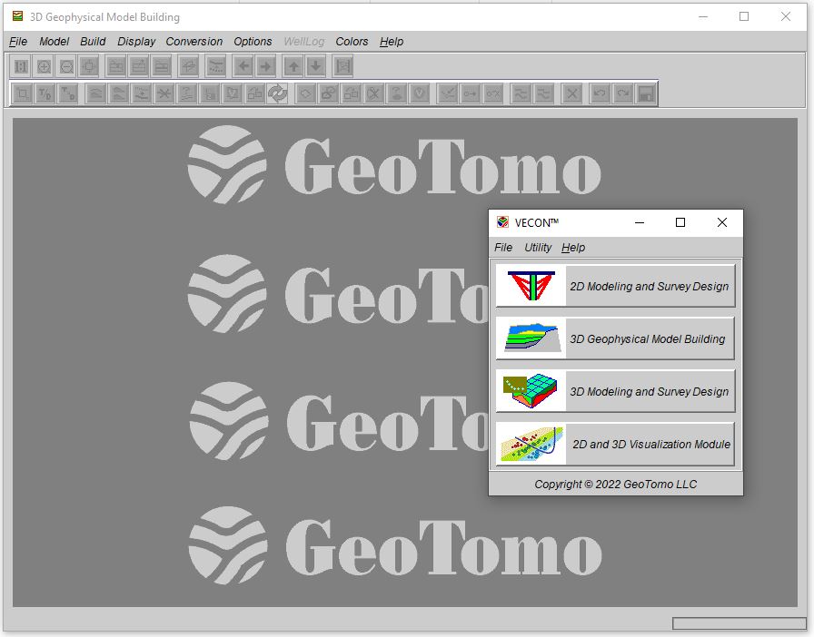
Introduction to GeoTomo Vecon
Overview and Development
GeoTomo Vecon represents a significant advancement in geophysical software, providing users with sophisticated tools for understanding subsurface geological structures. Developed by GeoTomo LLC, a company focused on high-end geophysical solutions, VECON has evolved to offer robust capabilities for seismic survey design and modeling. Its development aims to cater to both new and experienced geoscientists, allowing for intuitive handling of complex geological scenarios and data processing.
Core Functionalities and Structure
Seismic Survey Design Features
The software is engineered with comprehensive features for seismic survey design, enabling users to plan and simulate various geophysical investigations. GeoTomo Vecon excels in creating detailed 2D and 3D models of subsurface geology.
- Supports the design of Vertical Seismic Profiling (VSP) surveys through advanced VSP modeling capabilities.
- Incorporates raytracing technologies for accurate modeling of seismic wave propagation.
- Facilitates the creation of complex subsurface geometries for realistic geophysical modeling.
- Enables the simulation of different seismic acquisition geometries to optimize data collection.
- Provides tools for interactive survey visualization, aiding in the planning stages.
Integration with Other Geophysical Tools
Interoperability and File Formats
GeoTomo Vecon is designed for seamless integration within broader geophysical workflows, ensuring that data can be easily shared and utilized across different platforms and software environments. Its interoperability is crucial for a comprehensive data analysis process.
- Supports import from a variety of common geophysical data formats, ensuring compatibility with existing datasets.
- Export functionalities allow for the transfer of VECON models and survey designs to other specialized processing or visualization software.
- The software’s structure facilitates its use as a component in larger geophysical analysis pipelines, from survey planning to subsurface imaging.
Applications in Geoscience Industries
Case Studies and Real-World Use Cases
GeoTomo Vecon finds extensive application across numerous sectors within the geosciences, assisting professionals in tackling complex subsurface challenges. Its capabilities support accurate geophysical modeling and survey planning essential for project success.
- In oil and gas exploration, VECON is used for designing seismic surveys to identify potential hydrocarbon reservoirs, optimizing data acquisition for better subsurface imaging.
- For environmental studies, the software aids in planning near-surface imaging surveys to map underground utilities, geological faults, or contamination plumes.
- Geophysical engineering projects utilize VECON for modeling seismic responses in challenging terrains, ensuring the effectiveness of data collection strategies.
- Research institutions employ VECON for academic studies on seismic wave propagation and for developing new geophysical modeling techniques.
Comparison with Competing Software Solutions
Technical Advantages of VECON
GeoTomo Vecon distinguishes itself in the competitive geophysical software market through several key technical advantages that enhance user experience and analytical power. These factors contribute to its effectiveness in detailed seismic survey design and geophysical modeling.
- Intuitive User Interface: VECON offers a user-friendly interface that simplifies complex tasks of survey design and modeling, making it accessible for users with varying levels of expertise.
- Robust Computational Codes: The software is built upon powerful and efficient computational algorithms, enabling fast and accurate raytracing and seismic modeling, even for complex geological structures.
- Handling of Complex Geometries: Unlike some alternatives, VECON adeptly manages intricate subsurface geometries and acquisition configurations, providing more realistic modeling scenarios.
- Versatile Survey Support: Its capability to support both VSP and surface seismic survey design provides a consolidated solution for diverse geophysical investigation needs.
Conclusion
The Future of Geophysical Surveying with VECON
GeoTomo Vecon 4.8 continues to be a vital tool for geoscientists, offering advanced functionalities for seismic survey design and geophysical modeling. As the industry evolves, GeoTomo LLC remains committed to enhancing VECON’s capabilities, ensuring it stays at the forefront of subsurface imaging technology. The software’s focus on user interactivity and computational strength positions it as a critical asset for future geological exploration and research endeavors.
Frequently Asked Questions
What type of seismic surveys can GeoTomo Vecon perform?
GeoTomo Vecon is capable of performing both Vertical Seismic Profiling (VSP) and surface seismic surveys. This versatility makes it suitable for a wide range of geological investigation tasks, from detailed subsurface imaging to broader exploration initiatives.
What platforms does GeoTomo Vecon support?
The current version of GeoTomo Vecon is compatible with both Windows and Linux operating systems. This cross-platform support ensures broader accessibility for geoscientists working in diverse computing environments.
How does VECON facilitate remote survey design?
VECON enables users to conduct survey design and modeling remotely through internet access. This feature enhances flexibility and workflow efficiency, allowing professionals to work effectively from any location with connectivity.


Reviews
There are no reviews yet.