
Download Cadcorp Suite 2023 – Comprehensive Geospatial Software for Effective Data Management
Developed by Cadcorp Limited, Cadcorp Suite 2023 is a robust geospatial software solution designed for sophisticated spatial data management and analysis. As a product with a strong lineage dating back to 1995 with Cadcorp SIS, it is specifically tailored for professionals in sectors such as government, emergency services, utilities, and environmental management who require precise handling of geographical information.
Introduction to Cadcorp Suite 2023
Overview of Cadcorp Limited
Cadcorp Limited, established in 1991, has significantly contributed to the geospatial software industry. Holding ISO certification, the company’s commitment to quality is evident in its flagship product, Cadcorp SIS. Their expertise is demonstrated through strong data linking capabilities, particularly with Ordnance Survey, establishing them as a reliable provider of GIS solutions for diverse professional fields.
Key Components of Cadcorp SIS
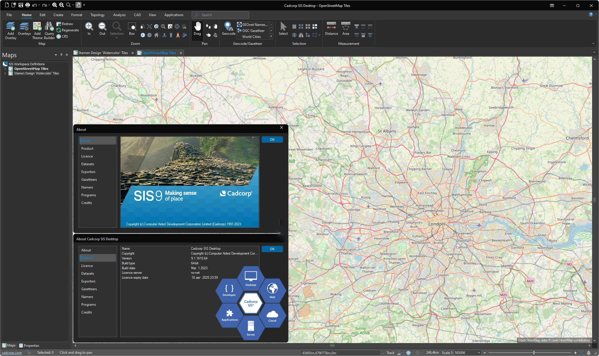
Understanding Cadcorp SIS Desktop
Cadcorp SIS Desktop is the core application for creating, managing, and analyzing geographical information. It offers a comprehensive suite of tools for data manipulation, visualization, and spatial operations, enabling users to work efficiently with complex datasets and generate detailed maps and reports.
Cadcorp WebMap Capabilities
The WebMap component extends the power of Cadcorp SIS to web environments, providing advanced interactive mapping functionalities. This allows for dynamic presentation and exploration of geospatial data, making it accessible to a wider audience and facilitating collaborative projects through online platforms.
Integration of Cadcorp GeognoSIS
Cadcorp GeognoSIS serves as a powerful server-side component that enhances web applications. It enables seamless integration with various mapping services and facilitates sophisticated data interrogation and presentation on the web, leveraging OGC standards for broad compatibility.
Applications and Use Cases
Industry Applications
Cadcorp Suite 2023 finds extensive application across numerous industries. In government and national mapping agencies, it supports critical infrastructure planning and land management. Emergency services utilize its capabilities for disaster response and resource allocation, while utility companies rely on it for network management and asset tracking.
Real-World Project Examples
Cadcorp’s geospatial software has been instrumental in projects such as managing environmental impact assessments for development projects, enabling effective urban planning by visualizing zoning and infrastructure, and supporting insurance companies in risk assessment based on geographical factors.
Technical Features and Compliance Standards
Data Format Support and Compatibility
A key strength of Cadcorp SIS is its extensive support for over 300 spatial data formats. This high level of compatibility ensures that users can integrate data from various sources and connect to popular spatial databases such as PostGIS and Oracle without significant data transformation challenges.
OGC Compliance and Benefits
Cadcorp SIS adheres to standards set by the Open Geospatial Consortium (OGC), including Web Map Service (WMS) and Web Feature Service (WFS). This OGC compliance ensures interoperability, allowing data and services to be shared and used across different GIS platforms and applications, thereby enhancing collaboration and data accessibility.
Conclusion and Future Outlook
Cadcorp Suite 2023 stands as a versatile and powerful geospatial software solution, distinguished by its comprehensive feature set, extensive data compatibility, and adherence to OGC standards. Its ability to operate across desktop and web platforms makes it an invaluable tool for managing complex spatial data in critical industries. As GIS technology continues to evolve, Cadcorp is well-positioned to adapt and integrate emerging capabilities for advanced spatial analysis and data visualization.
Frequently Asked Questions
What industries benefit from using Cadcorp Suite 2023?
Cadcorp Suite 2023 is designed for various industries including government, emergency services, insurance, oil and gas, and environmental management. Its versatile functionalities cater to a wide range of spatial data management needs across these sectors.
What are the main features of Cadcorp GeognoSIS?
Cadcorp GeognoSIS provides interactive mapping capabilities that facilitate data presentation and interrogation on web platforms. It integrates seamlessly with popular mapping services like OGC and Microsoft Bing Maps, enhancing user experience and accessibility.
How does Cadcorp SIS ensure data compatibility?
Cadcorp SIS supports over 300 different spatial data formats, including connections to common spatial databases like PostGIS and Oracle, facilitating smooth integration and data management across user platforms.


Reviews
There are no reviews yet.