
Studio Tecnico Guerra Thopos 2026 v8.05: Comprehensive Topographic & Cadastral Design Software
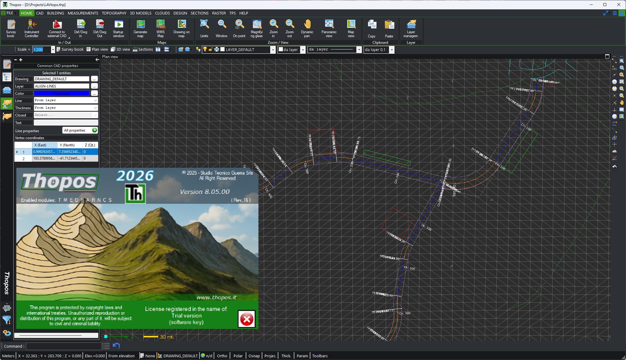
Studio Tecnico Guerra Thopos 2026 v8.05 is a professional topographic and cadastral software developed in Italy since 1995 . Known as “the topographic software,” Thopos provides a complete and reliable solution for surveyors, engineers, geometricians, and technical studios involved in topography, cadastre, raster processing, 3D modeling, and point cloud management . Version 2026 v8.05 continues Thopos’s legacy of innovation, offering a modular structure (9 specialized modules) covering everything from general topography and cadastre (Pregeo compatibility) to advanced 3D modeling, drone mission planning, point cloud processing, agricultural design, and boundary reconfirmation with automatic technical reports. Whether performing traditional total station surveys, integrating GPS/GNSS data, processing drone imagery, or preparing cadastral documents, Thopos delivers the precision, flexibility, and Italian-specific regulatory compliance that modern land surveying demands.
🗺️ Primary Users
This professional topographic software is designed for:
-
Land Surveyors & Geomatics Professionals performing cadastral surveys, boundary reconfirmations, and topographic mapping.
-
Geometric Engineers & Civil Engineers creating digital terrain models (DTM), volume calculations, and 3D design.
-
Architects & Urban Planners integrating survey data into infrastructure and land-use planning projects.
-
Agricultural & Environmental Engineers designing farm layouts, drainage systems, and land reclamation projects.
-
Drone Surveyors & Remote Sensing Specialists processing point clouds, generating orthophotos, and planning flight missions.
⚡ Key Features & Capabilities
🧩 Modular Structure (9 Modules)
Thopos 2026 is organized into 9 specialized modules, allowing users to tailor the software to their specific workflow :
| Module | Name | Description |
|---|---|---|
| T | General & Cadastral Topography | Complete base module for all standard topographic and cadastral operations; includes integrated CAD and Pregeo compatibility. Requires no prerequisites. |
| R | Advanced Raster Management | Georeferencing, perspective rectification, vectorization, and editing of raster maps. Independent module (T recommended). |
| M | Topography & 3D Models | Creation and management of 3D models (DTM), contour lines, meshes, volume calculations. Requires module T. |
| D | 3D Modeling & Design | Advanced 3D modeling, earthworks leveling, model intersection. Requires modules T and M. |
| P | Profiles & Section Design | Longitudinal profiles, cross-sections, grade line design. Requires T and M (D recommended). |
| E | Point Clouds & Drone | Point cloud loading (laser scanner/photogrammetry), georeferencing, DTM extraction, drone flight mission design. Requires T and M. |
| N | Reconfirmation Management | Guided procedure for property boundary reconfirmation with automatic technical report. Requires modules T and R. |
| A | Agricultural Design | Farm consolidation, slope definition, automatic ditch insertion, dynamic terrain modeling. Requires modules T, M, D. |
| S | Total Station | Direct interface with total station, real-time survey and stakeout. Requires module T. |
🗺️ Module T: General & Cadastral Topography
Core Capabilities :
-
Complete management of topographic surveys, traverses, areas, and intersections
-
Rigorous survey adjustment using high-precision algorithms
-
Georeferencing and calibration of raster maps
-
Boundary reconfirmation from raster maps, vector maps, and GPS surveys
-
Digitization, vectorization, and updating of cartography
-
Editing and recovery of historical or damaged maps
-
Integration with Pregeo (Italian cadastral data exchange format)
-
Coordinate conversion between systems
-
Import from Google Earth and GIS formats
-
Export to CAD (DXF/DWG)
📸 Module R: Advanced Raster Management
Capabilities :
-
Precise georeferencing of raster images to real-world coordinates
-
Map calibration and deformation for accurate alignment
-
Vectorization and digitization of raster maps
-
Editing of existing cartography
-
Recovery and updating of historical or damaged maps
-
Perspective rectification of oblique images
🏔️ Module M & D: 3D Modeling & Design
Module M (Topography & 3D Models) :
-
Automatic DTM creation from topographic surveys
-
Surface modeling with triangulation of points, curves, and break lines
-
Volume calculations between different models (cut/fill)
-
Contour line generation from 3D models
-
Dynamic 3D visualization and management of multiple models
Module D (Advanced 3D) :
-
Earthworks design (quarries, landfills)
-
Complex volume calculations between multiple 3D models
-
DEM (Digital Elevation Model) creation and management
-
3D rendering of design models
-
Environmental impact assessment support
📐 Module P: Profiles & Section Design
Capabilities :
-
Creation and management of planimetric profiles with free polygon alignment
-
Automatic insertion and dynamic modification of cross-sections
-
Real-time calculation and update of profiles and sections
-
Grade line design and custom altimetric profiles
-
Design section drawing for area and volume calculation
-
Automatic 3D model generation from design sections
🚁 Module E: Point Clouds & Drone Integration
Innovative Drone Workflow :
-
Fully automatic drone flight mission design (press a button in the app, drone executes the mission)
-
Automated photo capture at regular intervals
-
Integration with Open Source software (Open Drone Map) for photo orientation and point cloud generation
-
Point cloud loading from laser scanners and photogrammetry
-
Precise point cloud georeferencing via targets using least squares algorithms
-
DTM creation from selected cloud portions
-
Automatic extraction of contour lines, profiles, and cross-sections
-
Point cloud cleaning and management with integrated editor
-
Orthophoto generation (planimetric and sectional)
-
Ground extraction by filtering buildings and vegetation
🌾 Module A: Agricultural Design
Capabilities :
-
Definition of main terrain slopes with automatic crowning generation
-
Field delimitation via polylines with independent slope management per area
-
Overall 3D model creation from individual field unions
-
Automatic ditch or drainage insertion with specified dimensions and start/end points
-
Dynamic model updating with ditch integration
-
Constrained dynamic intersection for optimizing project position within existing survey
-
Automatic earthwork reduction (cut/fill) while maintaining design slopes
📋 Reporting & Documentation
-
Automatic generation of structured technical reports (especially for boundary reconfirmation – Module N)
-
Export to Pregeo (Italian cadastral format)
-
CAD export (DXF/DWG)
-
PDF reports and image exports
🆕 What’s New in Version 2026 v8.05
-
Enhanced Drone Workflow – Fully automatic flight mission planning (press-button execution) with Open Drone Map integration for point cloud and orthophoto generation
-
Improved Point Cloud Processing – Faster DTM extraction from filtered cloud portions (remove buildings/vegetation)
-
Dynamic Section Update – Real-time profile/section recalculation as design parameters change
-
Agricultural Module (A) Enhancements – Constrained dynamic intersection for optimizing project placement within existing survey terrain
-
Modernized UI – Streamlined ribbon interface (information from general description)
-
64-bit Performance – Optimized for large point clouds and complex 3D models (standard for 2026 versions)
💻 System Requirements
Minimum Requirements
-
OS: Windows 10/11 (64-bit)
-
CPU: Intel Core i5 or equivalent
-
RAM: 8 GB (16 GB recommended for point clouds)
-
Storage: 5 GB free space (SSD recommended)


