
Carlson Point Cloud 2026 – Advanced Point Cloud Processing for Surveying and Civil Engineering
Carlson Point Cloud 2026 is a specialized software application developed by Carlson Software, designed for the efficient processing, visualization, and analysis of massive 3D point cloud datasets. This powerful tool serves land surveyors, civil engineers, construction professionals, and specialists in mining, transportation infrastructure, and environmental sectors who require precise handling of LiDAR and photogrammetry data. It offers advanced capabilities that integrate seamlessly into existing CAD workflows, providing a robust platform for data interpretation and deliverable generation.
Overview of Carlson Point Cloud 2026 and Its Applications in Surveying
Carlson Point Cloud 2026 is engineered to manage and process extensive point cloud files, which are critical for modern surveying and engineering projects. The software’s primary purpose is to transform raw 3D scan data into actionable intelligence for a variety of applications. Its utility spans across land surveying for creating detailed topographic maps, civil engineering for design and analysis of infrastructure, construction for site monitoring and earthwork calculations, mining for resource estimation and stockpile management, and environmental studies for landscape and forestry analysis.
Advanced Point Cloud Handling and Visualization Capabilities
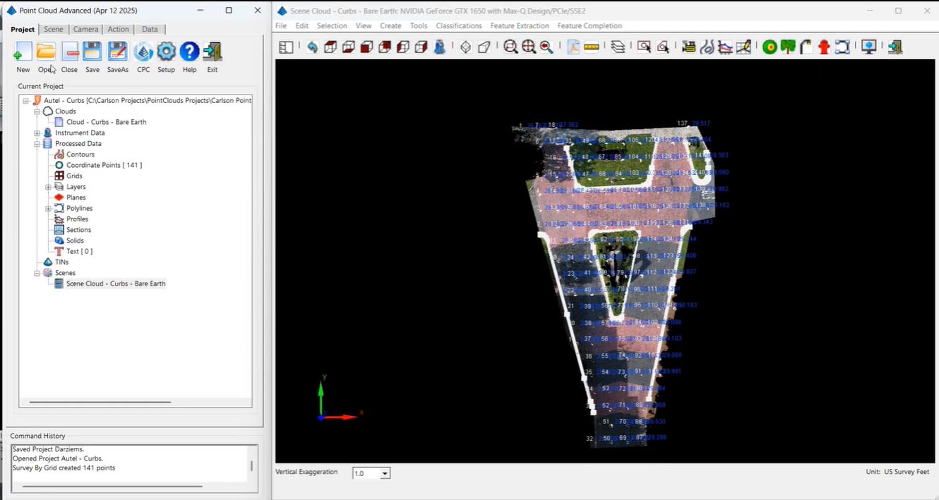
This surveying software for point clouds excels at loading and visualizing point clouds containing billions of points. Users can navigate these dense datasets smoothly, with multiple colorization options available for enhanced visual interpretation, such as intensity, elevation, or RGB values. Carlson Point Cloud 2026 supports a wide array of industry-standard data formats, including LAS, LAZ, E57, PTS, PTX, and XYZ, ensuring broad compatibility. The software employs sophisticated optimization techniques to handle these massive datasets efficiently, balancing detail with performance.
Point Cloud Editing, Classification, and Cleanup Tools
Carlson Point Cloud 2026 provides a comprehensive suite of tools for refining raw point cloud data. Users can perform noise removal, apply various filtering techniques to reduce point density, and conduct detailed data classification. The software features automated algorithms for identifying and separating ground points, vegetation, and buildings, significantly speeding up the classification process. Manual editing tools are also available for precise adjustments and corrections, allowing professionals to fine-tune the classified data before export to standard formats for further analysis.
Surface, Terrain Modeling, and Volume Analysis Features
A key capability of this civil engineering point cloud tool is its robust surface and terrain modeling functionality. It enables the rapid creation of Triangular Irregular Networks (TIN) and gridded surfaces directly from point cloud data. Users can generate topographic contours, analyze surface properties like slope and aspect, and perform essential volume calculations. Specific enhancements in recent versions include sophisticated volume calculations by elevation range and the automated extraction of breaklines to accurately represent terrain features in surface models.
Integration with Carlson CAD and Civil Engineering Workflows
Carlson Point Cloud 2026 offers significant advantages through its tight integration with other Carlson Software products, such as Carlson Survey and Carlson Civil. This integration allows for a streamlined workflow where classified point cloud data can be directly imported as survey points and breaklines into design environments. Surface models derived from point clouds can be readily transferred for design purposes, and the preservation of coordinate systems ensures consistency across all project phases. This seamless interoperability is a key differentiator for professionals who rely on the Carlson Suite.
Corridor and Linear Feature Analysis for Transportation and Utilities
For projects involving linear infrastructure, Carlson Point Cloud 2026 provides specialized tools for corridor and feature analysis. This functionality is crucial for the design and monitoring of roads, railways, and pipelines. The software facilitates the extraction of detailed cross-sections along alignments, supports cut and fill calculations tailored to specific sections, and aids in trench profiling. Advanced features also allow for linework tracing to extract utility features directly from the point cloud for improved design and clash detection.
Performance Enhancements and New Features in Version 2026
The 2026 release of Carlson Point Cloud introduces notable performance improvements and new features to meet evolving industry demands. Enhancements include optimized multi-core processing and GPU acceleration, which significantly boost rendering speeds and data handling capabilities for massive datasets. Version 2026 specifically introduces refined ground classification algorithms for greater accuracy, support for the latest LAZ 1.4 format, and further improvements to its integration with the Carlson CAD platform. These advancements collectively enhance the user experience and the efficiency of point cloud processing workflows.
Frequently Asked Questions
What types of point cloud data formats does Carlson Point Cloud 2026 support?
Carlson Point Cloud 2026 supports major point cloud formats including LAS, LAZ (including the latest 1.4 version), E57, PTS, PTX, and XYZ formats, enabling compatibility with diverse scanning and surveying data sources.
How does Carlson Point Cloud integrate with other Carlson Software products?
Carlson Point Cloud 2026 integrates seamlessly with Carlson Survey and Carlson Civil applications, allowing users to import classified points as survey points and breaklines, transfer surface models for design, and maintain consistent coordinate systems across platforms.
What improvements in performance does the 2026 version offer for handling large point cloud datasets?
The 2026 release features multi-core processing, GPU-accelerated rendering, and optimized loading algorithms that provide faster LAS/LAZ file handling and smoother visualization of massive point cloud data.


Reviews
There are no reviews yet.