

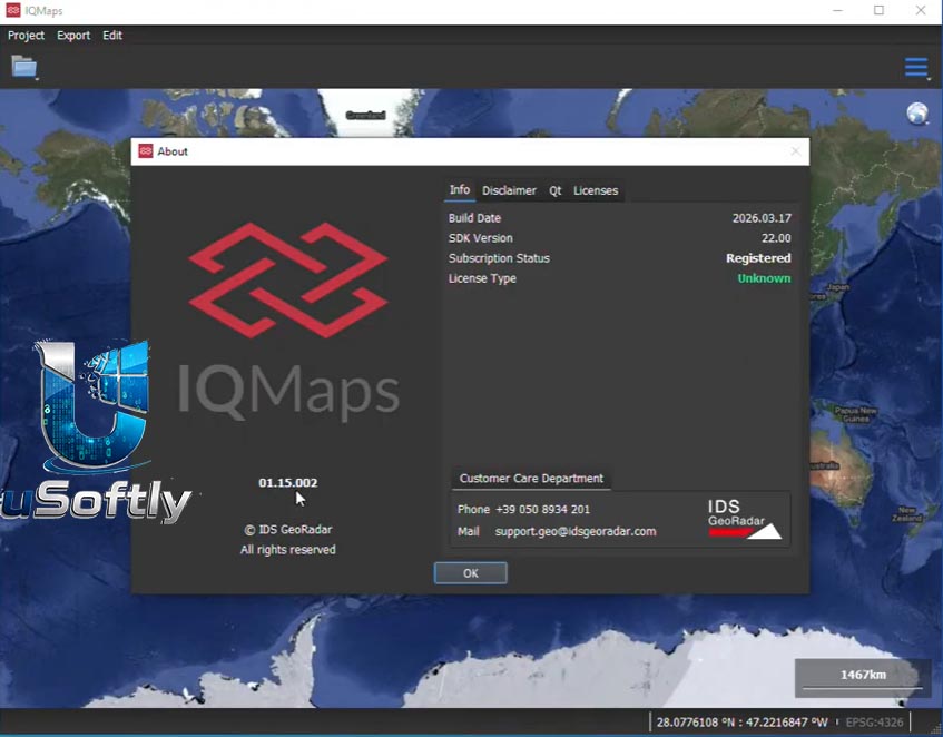
IQMaps 2026 v01.15.002 – Advanced Post-Processing Software for Ground Penetrating Radar (GPR) Data Analysis
IQMaps is an advanced post-processing software application developed by IDS GeoRadar (a part of Hexagon) to streamline Ground Penetrating Radar (GPR) data analysis . Designed to handle large-scale surveys like utility mapping, archaeological discoveries, and environmental assessments, it functions as a highly responsive bridge between raw radar data and the user . The platform reduces data processing times by utilizing a customizable, step-by-step workflow that accommodates both skilled specialists and entry-level technicians . By offering an immersive 3D visualization space, it enables subsurface surveyors to accurately reconstruct, manipulate, and map dense underground target networks with confidence .
The IQMaps ecosystem has recently been enhanced to support a wider range of GPR systems and includes new functionalities that improve data visualization and expand application fields to void detection and archaeology.
Primary Users
IQMaps 2026 v01.15.002 is designed for geophysicists, utility surveyors, archaeologists, environmental consultants, and civil engineers who specialize in subsurface investigation and mapping. It serves professionals who:
-
Conduct utility detection and buried asset mapping for infrastructure projects
-
Perform archaeological surveys to identify and map subsurface features
-
Assess environmental sites for buried contaminants and geological anomalies
-
Detect voids and sinkholes for construction risk assessment and geohazard evaluation
-
Process large-scale GPR datasets from utility, road, and rail surveys
Key Features & Capabilities
Intelligent Auto-Detection
-
AiMaps Integration: Utilizes artificial intelligence cloud algorithms (AiMaps) to automatically locate buried pipes, structural anomalies, and utilities .
-
Pipe Tracer Function: Automatically digitizes underground utilities by generating and tracing pipe networks detected in radar data, reducing digitization time by over 50% .
Immersive 3D Tomography and Visualization
-
Real-Time 3D Interface: Provides fast, real-time 3D visualization to easily inspect complex, multi-layered subsurface environments .
-
Multi-Shape Area Picking: Allows for 3D mapping of sinkholes, inspection chambers, and other buried objects by marking areas on both the B-scan radar map and the tomography .
Data Processing and Export
-
Cross-Hardware Compatibility: Integrates seamless data processing support across the entire IDS Stream family, as well as Leica DSX and DS2000 GPR systems .
-
Multi-Sensor Aggregation: Gathers and combines diverse radar data sets collected by completely different devices into a single unified project map .
-
CAD/GIS Export: Features direct vector mapping interfaces to seamlessly export identified targets and utility positions into AutoCAD or GIS formats .
-
Automated Reporting: Enables automatic exporting of radar map sections with user-defined length and statistical data in .csv format for comprehensive reporting .
Enhanced Workflow
-
Overlaying Vector Layers: Allows the import and overlaying of multiple vector layers such as cadastral maps, as-built plans, and DBYD (Dial Before You Dig) plans onto the tomography drawings .
-
Positioning Correction: Enables users to import external trajectory data (e.g., IMU-corrected GNSS) to correct positioning inaccuracies from poor GNSS signal conditions .
What’s New in IQMaps 2026 v01.15.002
The 2026 v01.15.002 version builds upon significant enhancements announced for the IQMaps platform in 2026, with a focus on expanding application fields and improving data processing speed .
Extended Hardware Compatibility
The software has been extended to a wider range of GPR systems, including the IDS GeoRadar Opera Duo and Stream family, allowing users to leverage its advanced processing capabilities regardless of their hardware .
New Functionalities for Void Detection and Archaeology
The updated version allows for multi-shape area picking, enabling surveyors to mark and map 3D areas for sinkholes and other anomalies, making the software applicable to new fields such as construction risk assessment and archaeological surveys .
AiMaps 3.0 Integration
The release includes integration with AiMaps 3.0, the latest evolution of its AI-powered cloud solution. This introduces the Pipe Tracer function, which automatically digitizes pipe networks, significantly reducing the time required for interpretation and mapping .
Improved Survey Positioning
Users can now import external trajectories (e.g., post-processed GNSS data) into IQMaps after a survey is completed, correcting data that may have been inaccurate due to poor signal in tunnels or under bridges





Reviews
There are no reviews yet.