

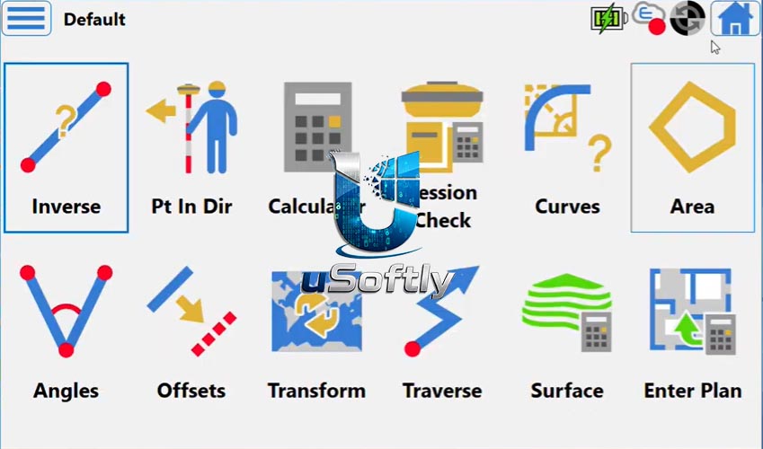
Topcon Field PC v10.1 – Professional Field Data Collection and Layout Software for Surveying and Construction
Topcon Field PC v10.1 is the latest release of Topcon’s powerful field application for surveying, construction layout, and real‑time documentation . Building on the significant enhancements introduced in Version 9 (which marked the transition from the MAGNET brand to the unified Topcon software suite) , version 10.1 focuses on practical stability improvements, data interoperability, and reliable hybrid measurement workflows .
The software turns rugged tablets, Windows‑based field computers (such as the FC‑6000 or FC‑6400), or compatible Android devices into a professional field controller for Topcon GPS receivers, robotic total stations, scanning robotic total stations, and digital levels . It collects points and measurements, stakes out job sites, verifies as‑built conditions, and prepares data for digital terrain models, contour comparisons, and cut‑fill volume calculations
Primary Users
Topcon Field PC v10.1 is designed for land surveyors, construction layout professionals, civil engineers, and infrastructure project managers who require accurate, real‑time data collection and stakeout capabilities in the field. It serves professionals who:
-
Perform land surveying, cadastral mapping, and construction layout using GNSS receivers, robotic total stations, and digital levels
-
Collect and process field measurements for digital terrain models, contour mapping, and volume calculations
-
Execute roadwork, utility mapping, and as‑built verification with real‑time data validation
-
Integrate field data with office workflows through seamless compatibility with Topcon Office, Topcon Tools, and over 50 industry‑standard file formats
-
Work in hybrid positioning modes combining GNSS and total station measurements for maximum accuracy
Key Features & Capabilities
Core Surveying and Layout Functions
-
Data Collection and Stakeout: Controls GNSS rovers and total stations to collect points, perform layout tasks, and verify as‑built conditions with precision
-
Hybrid Positioning: Combines GNSS and total station measurements for maximum flexibility and accuracy, even in challenging environments
-
Digital Terrain Modeling: Creates surfaces from point data, generates contours automatically, and performs volume calculations and surface inspections
Advanced 3D and BIM Support
-
IFC File Support: Improved handling of BIM models, including creating points at circle centers, computing centerlines of tubes (pipes/cylinders), and snapping to 3D model elements
-
3D Model Management: Transparency settings, clipping planes, point clipping by elevation, and improved rotation around points of interest
-
Drawing (*.dwg) Improvements: Support for custom line styles, import of Civil 3D feature lines, and import of meshes as 3D models
Web Mapping and Geospatial Services
-
WFS (Web Feature Service) Support: Stake out from vector map data (e.g., cadastral boundaries) directly in the field, eliminating the need to import separate DWG files
-
WMS (Web Map Service) Improvements: Enhanced provider support and reduced errors when loading background maps
-
Background Image Handling: Auto‑detects GeoTIFF format and supports multiple image overlays
Surface and Volume Analysis
-
Surface Inspection Tool: Compares design surfaces or 3D models against point clouds, producing color‑coded deviation reports (green = within tolerance, red/blue = positive/negative offsets)
-
Volume Reports: Automatically generates cut‑fill maps and results for surfaces
-
Contour Settings: Automatically creates contours when creating surfaces, with customizable layers and styles
Productivity and Reporting
-
Productivity Reports: Provides setup summaries and point stakeout statistics for both optical and GNSS workflows
-
Roading and Cross‑Section Stakeout: Direct selection of segment points from the stake cross‑section map
-
GNSS Improvements: Advanced tilt compensation (up to 30°), Galileo HAS support, SkyBridge base station estimation, and anti‑jamming settings
-
Optical Enhancements: Prism tilt correction (new in v10), improved resection setup with quality reporting, and precise backsight measurements
What’s New in Topcon Field PC v10.1
Version 10.1 is a focused update that prioritizes stability, data integrity, and interoperability across the field‑to‑office workflow .
Enhanced Web Mapping (WFS/WMS)
-
WFS Projection Fix: Resolved issues with WFS data projection after changing the coordinate system, ensuring accurate alignment of cadastral and vector layers
-
WMS Provider Support: Improved compatibility with specific WMS services to reduce failures when loading background maps and overlays
Hybrid Mode Stability
-
Total Station Fix: Corrected a situation where measurements in Hybrid Mode (total station + GNSS) were impossible when the prism was blocked, improving reliability in combined positioning workflows
Core Focus of v10.1
This release is not about new headline features but about making existing workflows more reliable and robust—ensuring data collected in the field transitions seamlessly to the office without errors or data loss . The update emphasizes:
-
Correct import/export of data
-
Compatibility with modern CAD/BIM environments
-
Practical fixes for field scenarios that previously caused interruptions
Earlier Major Enhancements (v10.0)
Version 10 (October 2025) introduced significant new capabilities, including:
-
Prism Tilt Correction in Hybrid Mode (with compatible GNSS receivers like HiPer XR)
-
WFS Support for staking cadastral boundaries directly from vector data
-
Major improvements to 3D models, point clouds, and DWG file handling





Reviews
There are no reviews yet.