

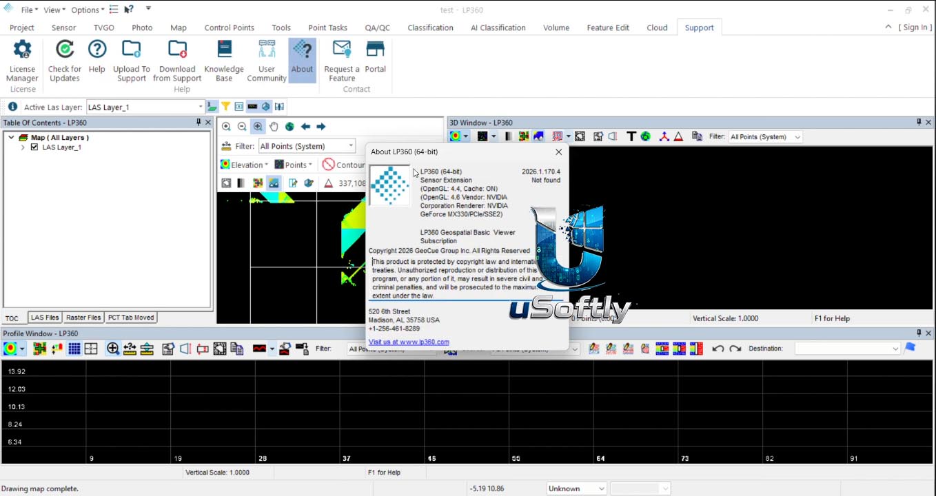
LP360 v2026.1.170.4 – Professional Point Cloud and Photogrammetry Software with AI-Driven Classification
LP360 is a leading 64-bit Windows desktop application for point cloud visualization, editing, and information extraction . It provides an intuitive GIS environment where users can work with LiDAR data like any other geospatial layer, combining it with orthophotos, vector data, and base maps.
The v2026.1.170.4 release represents a significant evolution in the platform, introducing powerful new AI-driven classification tools, an integrated 3D Photo Engine for photogrammetry workflows, expanded sensor support, and advanced visualization capabilities including 3D Gaussian Splatting.
LP360 is available in multiple product lines—Geospatial, Drone, and Land—each with various capability levels to suit different professional needs, from free Viewer mode to advanced processing with AI add-ons . The software supports both node-locked perpetual licenses and subscription-based licensing with cloud processing features.
Primary Users
LP360 is designed for surveyors, geospatial analysts, forestry professionals, engineers, and mapping specialists who require a complete solution for LiDAR and imagery data management. It serves professionals who:
-
Visualize, analyze, and extract information from large point cloud datasets in an intuitive GIS environment
-
Process drone and airborne LiDAR data, including support for TrueView, DJI, and other sensors
-
Classify point clouds using advanced AI to automate ground extraction, vegetation analysis, and utility corridor mapping
-
Generate orthophotos, colorized point clouds, and 3D mesh models from integrated LiDAR and photogrammetry workflows
-
Perform quality assurance and accuracy assessment on geospatial deliverables
Key Features & Capabilities
Core Geospatial Workflow
-
Intuitive GIS Interface: Work with LAS files like any other data layer, with customizable visualization based on elevation, classification, intensity, and other attributes
-
Multi-View Visualization: Synchronized top-down map, scrollable profile viewer, and interactive 3D window for comprehensive data inspection
-
High-Capacity Performance: Rapid, on-demand access to industry-standard LAS files without unnecessary imports or tiling
AI Classification Tools
-
AI Ground (Only): Classifies point clouds into ground and non-ground returns using pre-trained deep learning models, significantly reducing manual cleanup
-
AI Ground+ Classification: Advanced scene segmentation that automatically classifies: Ground, Vegetation, Building Roofs, Roof Objects, Walls, Vehicles, Bridge Decks, and Water Surfaces
-
AI Forestry: Purpose-built for forestry analysis, automatically identifying canopy, tree trunks, and fallen trees. Generates forestry-ready deliverables including individual tree location points, DBH features, crown polygons, and Canopy Height Model (CHM) rasters
-
AI Utilities: Specialized for transmission line workflows, segmenting and extracting vegetation, wires, towers/poles, insulators, guy wires, guard wires, and attachment points with vector outputs where applicable
3D Photo Engine and Photogrammetry
-
Integrated Photogrammetry: New Photo tab in the ribbon provides unified access to orthophoto, colorized point cloud, 3D mesh, and COLMAP output generation
-
Enhanced Orthomosaic Generation: Combines orthophoto and ground LiDAR data for cleaner, more accurate orthomosaics with improved surface definition
-
Improved Color Correction: Enhanced radiometric controls for consistent color and white balance across imagery captured under varying lighting conditions
-
Photogrammetry Quality Report: Automatic reporting for QA and project review
-
3D Gaussian Splat Visualization: Immersive data inspection capability for complex environments, interiors, and detailed structures
Sensor and File Format Support
-
Expanded Sensor Support: Full support for TrueView 651 (NDAA-compliant), TrueView GO NEO handheld, and DJI Zenmuse L3 (processed workflow)
-
LAS v1.5 Support: Compatibility with current ASPRS point cloud standards
-
E57 Import/Export: Planned in v2026.2 for broader interoperability
Product Lines and License Tiers
-
LP360 Geospatial: Available in Viewer (free), Basic (read-only), Standard (interactive classification), and Advanced (point cloud tasks and automation) tiers
-
LP360 Drone: Supports drone sensor processing with PPK, TrueView, DJI workflows. Available in Explorer, Drone, and Drone+ add-on levels including 3D Photo Engine, Photogrammetry with Agisoft, Business Intelligence Tools, and Unlimited
-
LP360 Land: Supports handheld sensor processing (SLAM, RTK, PPK). Available in Basic, Standard, and Standard+ add-on levels including 3D Mesh Modeling, 3D Photo Engine, and Business Intelligence Tools






Reviews
There are no reviews yet.