
Download ERDAS IMAGINE 2022 – Advanced Remote Sensing and Geospatial Analysis Tool
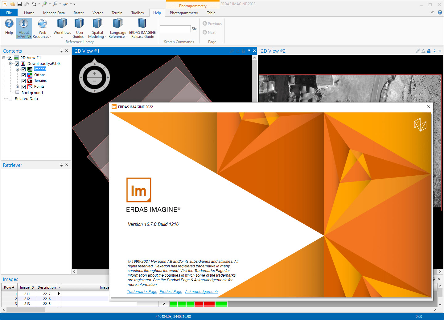
ERDAS IMAGINE 2022, developed by Hexagon AB, is a comprehensive remote sensing and photogrammetry software designed for processing and analyzing large geospatial datasets. It serves professionals in environmental and earth sciences, providing advanced capabilities for visual data interpretation and geographic information system (GIS) integration. This tool is essential for users seeking robust geospatial analysis software solutions.
Overview of ERDAS IMAGINE 2022
ERDAS IMAGINE 2022 stands as a powerful platform dedicated to remote sensing and geospatial data analysis. It enables users to visualize, interpret, and analyze Earth’s surface data with high precision. The software is tailored for professionals within environmental and earth sciences who require in-depth understanding and management of geographic information.
Core Functionalities and Features
This remote sensing software offers a suite of sophisticated tools designed for efficient data handling and analysis. Its features support complex workflows, from initial data ingestion to final presentation of results.
- Advanced Data Processing: Capable of handling and processing massive amounts of remote sensing imagery and geospatial data.
- Integration with CAD Software: Facilitates seamless data exchange and workflow synchronization with Computer-Aided Design (CAD) applications, enhancing interoperability.
- Dynamic Modeling: Supports advanced modeling techniques that allow users to create and simulate complex environmental and geographic scenarios.
- Multi-Core Processing: Leverages multi-core processors to significantly speed up data processing times, improving user productivity.
- Updated User Interface: Features an enhanced graphical user interface (GUI) for a more intuitive and efficient user experience.
Applications in Remote Sensing and Photogrammetry
ERDAS IMAGINE 2022 is instrumental in various fields requiring detailed geographic insights. Its photogrammetry tools are particularly valuable for creating accurate maps and 3D models from aerial or satellite imagery.
- Environmental Monitoring: Used for tracking land cover changes, monitoring deforestation, assessing water resources, and analyzing atmospheric conditions.
- Urban Planning: Supports the analysis of urban sprawl, infrastructure development, and land-use suitability, aiding in informed planning decisions.
- Disaster Management: Essential for assessing damage from natural disasters such as floods, fires, and earthquakes by analyzing pre- and post-event imagery.
- Geological Surveys: Aids in identifying geological formations, mineral exploration, and mapping seismic activity.
Supported Data Formats and Integration Capabilities
The versatility of ERDAS IMAGINE 2022 is further enhanced by its broad support for various geospatial data formats and its capacity to integrate with other enterprise systems.
- Extensive File Format Support: Reads and writes a wide array of raster and vector data formats common in remote sensing and GIS, including GeoTIFF, HDF, NITF, and shapefiles.
- Interoperability with Hexagon Software Suite: Designed to work harmoniously with other Hexagon software solutions, creating a cohesive geospatial technology ecosystem.
- Connectivity with CAD Platforms: Enables straightforward integration with CAD software, allowing for shared workflows and data compatibility in design and engineering projects.
Comparative Analysis with Similar Software Tools
Compared to other remote sensing software, ERDAS IMAGINE 2022 distinguishes itself through its robust data processing capabilities and its specialized focus on image analysis within the Hexagon software suite. While many tools offer basic geospatial functions, ERDAS IMAGINE provides advanced photogrammetry tools and dynamic modeling features tailored for complex scientific applications. Its deep integration capabilities with CAD and other geographic technologies further set it apart for professionals requiring a comprehensive analytical environment.
Conclusion and Future Perspectives of ERDAS IMAGINE
ERDAS IMAGINE 2022 remains a cornerstone software for professionals engaged in remote sensing, photogrammetry, and in-depth geospatial analysis. Its continuous development, exemplified by the enhancements in version 2022, underscores Hexagon AB’s commitment to empowering users with cutting-edge tools for understanding and managing our planet. Future advancements are likely to focus on further leveraging cloud computing, artificial intelligence for automated analysis, and even greater integration across diverse data sources and platforms.
Frequently Asked Questions
What is ERDAS IMAGINE used for?
ERDAS IMAGINE is primarily used for remote sensing and geospatial analysis, allowing users to process and analyze large data sets visually, especially in environmental sciences and geography. It enables the detailed interpretation of satellite imagery and aerial photographs for a variety of applications.
Can ERDAS IMAGINE integrate with other software?
Yes, ERDAS IMAGINE integrates effectively with CAD software and supports various data exchange formats, enhancing its usability across different platforms. This interoperability ensures that geospatial data can be seamlessly incorporated into broader engineering and design workflows.
What are the new features in ERDAS IMAGINE 2022?
ERDAS IMAGINE 2022 includes enhancements such as improved dynamic modeling capabilities, multi-core processing support, and an updated interface for better user experience. These updates aim to increase efficiency and provide more advanced analytical tools for remote sensing tasks.


Reviews
There are no reviews yet.