
Download SedLog 3.1 – Create Professional Graphic Sediment Logs Effortlessly
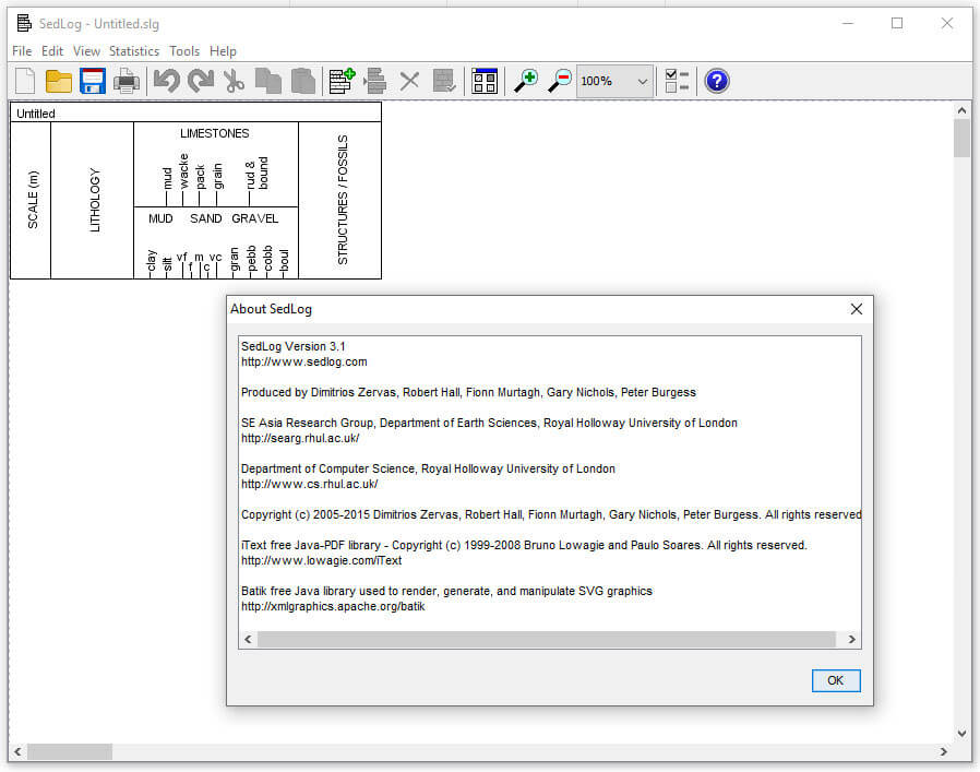
SedLog 3.1 is a specialized application designed for geologists and environmental scientists to create detailed graphical sediment logs. Developed by Keith M. R. Desai, this software aids in the visual documentation of sedimentary information, making it an invaluable tool for geological projects, environmental assessments, and academic research.
Overview of SedLog 3.1
What is SedLog?
SedLog 3.1 is a dedicated software solution for generating comprehensive sediment logs, a critical component in geological fieldwork and analysis. It empowers users to meticulously document and visualize stratigraphic data, providing a clear representation of soil and rock layers encountered during surveys or from core samples.
Key Features and Benefits
User-Friendly Graphical Interface
SedLog 3.1 boasts an intuitive graphical interface that simplifies the complex process of sediment logging. This design philosophy ensures that users, regardless of their technical background, can efficiently create detailed logs without a steep learning curve, focusing instead on the accuracy of their data.
Data Import and Export Capabilities
The software supports robust data handling through its import and export functionalities. Users can import existing data, particularly in CSV format, allowing for the integration of field notes or data from other sources directly into SedLog for visualization and further analysis.
Flexible Export Options
Facilitating seamless integration into various project workflows and publications, SedLog 3.1 offers versatile export options. Users can generate their sediment logs in industry-standard formats such as PDF for easy sharing and printing, SVG for scalable vector graphics, and JPEG for raster image inclusion in reports.
Real-World Applications in Geology
In geological projects, SedLog 3.1 serves multiple critical functions. It is extensively used for documenting sediment core samples obtained during drilling operations, visually representing sedimentary structures and layer logging. Furthermore, it aids in the creation of detailed logs for scientific publications, research papers, and field data integration.
Advantages Over Competing Software
Comparison with Other Sediment Logging Tools
Compared to other sediment logging tools, SedLog 3.1 distinguishes itself through its emphasis on user-friendliness and comprehensive export capabilities. While many software packages offer basic logging functions, SedLog provides a streamlined workflow for generating professional graphic logs, including direct CSV data handling and versatile output formats like PDF and SVG, which are crucial for detailed stratigraphic reporting.
Conclusion and Getting Started
SedLog 3.1 offers a powerful yet accessible solution for creating professional sediment logs, essential for any geologist or environmental scientist. Its intuitive design, combined with flexible data import and export features, makes it an efficient tool for documenting stratigraphy and sedimentary structures. Download SedLog 3.1 to enhance your geological fieldwork and reporting.
Frequently Asked Questions
What can I use SedLog for in geological studies?
SedLog can be used to create detailed graphical sediment logs, essential in documenting sedimentary information during geological projects. It allows users to visualize sediment types and layers effectively, aiding in the interpretation of stratigraphic sequences and environmental conditions.
Can I export my sediment logs from SedLog?
Yes, SedLog allows users to export sediment logs in multiple formats, including PDF, SVG, and JPEG, facilitating integration with other applications and publications. This ensures that your detailed geological documentation can be easily shared or included in reports and presentations.
Is SedLog suitable for beginners in geology?
Absolutely. SedLog is designed with an intuitive graphical interface that enables users with minimal experience to create sediment logs without extensive training. Its straightforward approach makes it an excellent tool for students and early-career professionals in environmental and geological sciences.


Reviews
There are no reviews yet.