
Download Quick Terrain Modeller – Advanced 3D Terrain Modeling Software
Quick Terrain Modeller is a specialized geospatial software developed by Applied Imagery. It is designed specifically for creating detailed 3D terrain models from LiDAR data, catering to land surveyors, environmental scientists, urban planners, and engineers. The software’s primary purpose is to facilitate advanced analysis and efficient management of large-scale geospatial datasets, enabling users to produce high-fidelity terrain models for professional and research applications.
Introduction to Quick Terrain Modeller
Overview and Key Capabilities
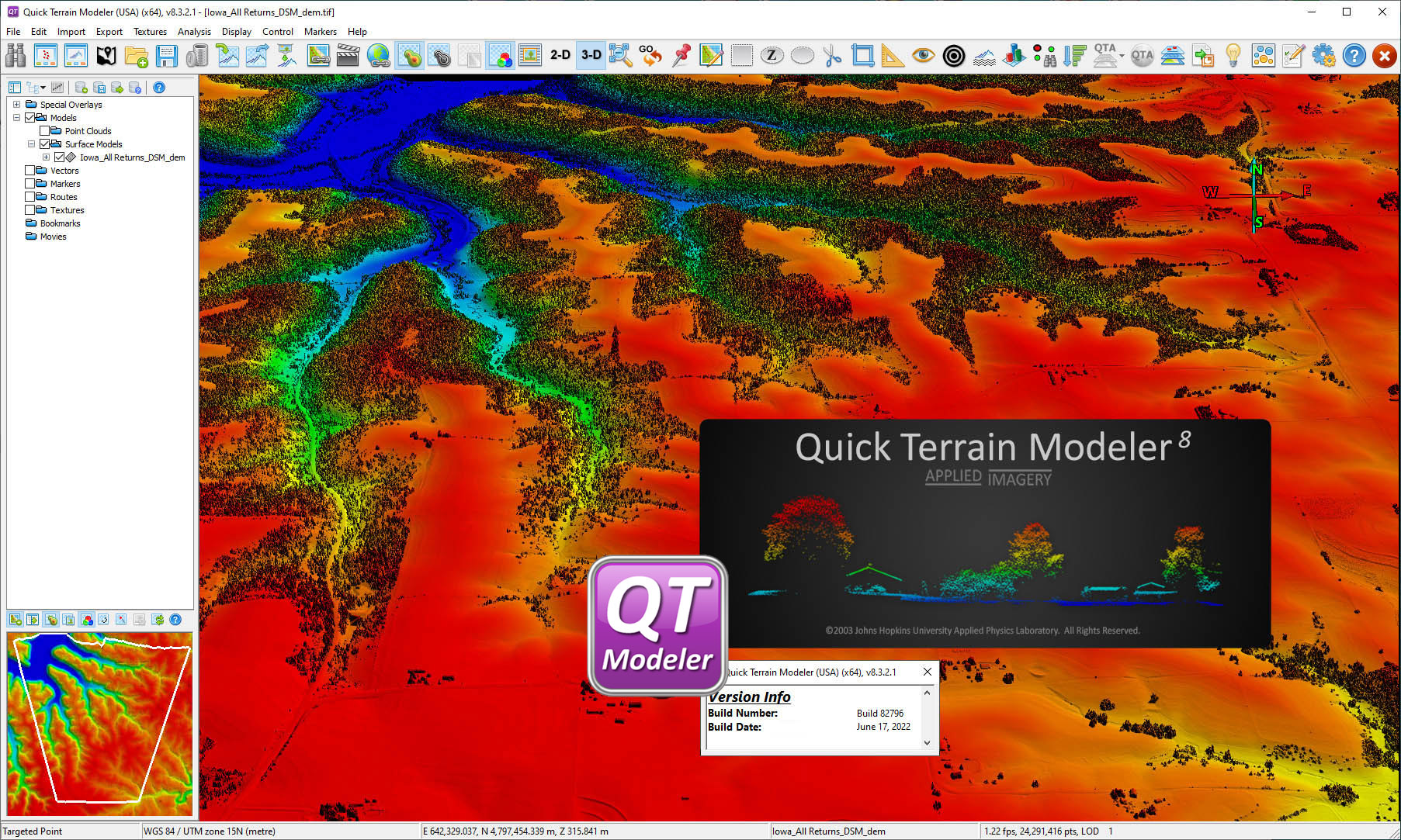
Quick Terrain Modeller is a powerful geospatial analysis tool renowned for its ability to process and visualize complex terrain data. Developed by Applied Imagery, it excels in transforming raw geospatial information, particularly LiDAR point clouds, into accurate and detailed 3D models. Its core functionality is geared towards enabling users to derive meaningful insights from terrain data, supporting a wide array of applications from engineering projects to environmental impact studies.
- Facilitates the creation of detailed 3D terrain models.
- Supports efficient management and analysis of large geospatial datasets.
- Enables high-fidelity terrain visualization for professional use.
- Designed with user feedback to handle complex datasets accessible.
Utilizing LiDAR Data for Terrain Models
Understanding LiDAR and Its Applications
LiDAR (Light Detection and Ranging) is a remote sensing method that uses light in the form of a pulsed laser to measure ranges to the Earth. This technology generates highly precise point cloud data, ideal for detailed terrain mapping. Quick Terrain Modeller is optimized to ingest and process these vast LiDAR datasets, translating them into robust 3D models.
The software’s strength lies in its ability to filter, classify, and present LiDAR data, allowing users to uncover critical topographical features. This process is fundamental for applications such as topographical surveys, infrastructure planning, and the creation of digital elevation models (DEMs) necessary for environmental research and urban development projects.
Features of Quick Terrain Modeller
User-Friendly Interface
Quick Terrain Modeller is engineered with a focus on user experience, presenting a clean and intuitive interface. This design philosophy simplifies the complex processes involved in 3D terrain modeling, making the software accessible even when working with extensive and intricate datasets. The interface supports efficient navigation and manipulation of terrain models.
Comprehensive Data Handling
The software demonstrates robust capabilities in managing and analyzing large volumes of geospatial data, including extensive LiDAR point clouds. It is built to handle datasets that might overwhelm less specialized applications, ensuring that users can efficiently process information without significant performance degradation. This capacity is crucial for large-scale mapping and analysis projects.
Rendering and Visualization Techniques
Quick Terrain Modeller offers advanced rendering capabilities that produce high-quality 3D visualizations of terrain. The software excels at displaying the nuances of topography, allowing for detailed visual inspection and presentation of terrain data. Its rapid rendering engine can quickly generate realistic views, aiding in the identification of features and potential issues crucial for engineering and planning.
Practical Applications Across Industries
The advanced 3D modeling and visualization features of Quick Terrain Modeller lend themselves to a diverse range of practical applications across multiple industries. Its capacity to process and interpret complex terrain data makes it an invaluable tool for professionals tasked with detailed spatial analysis and planning.
- Environmental Science: Used for conducting detailed environmental impact studies, modeling flood plains, and analyzing landscape changes over time.
- Urban Planning and Development: Facilitates the visualization of urban areas for development projects, infrastructure planning, and city modeling, supporting better design decisions.
- Land Surveying: Enables precise topographical surveys and site analysis, providing accurate terrain data essential for construction and land management.
- Engineering Projects: Supports the design and planning of infrastructure such as roads, bridges, and utilities by offering detailed terrain models and volumetric analysis.
Conclusion and Next Steps
Quick Terrain Modeller stands out as a leading solution for advanced 3D terrain modeling, particularly for users working with LiDAR data. Its combination of a user-friendly interface, powerful data handling, exceptional rendering capabilities, and suitability for critical applications in surveying, environmental science, and urban planning makes it a distinguished tool in the geospatial field. Professionals seeking to enhance their terrain analysis and visualization workflows will find Quick Terrain Modeller to be an indispensable asset for achieving precise and insightful results.
Frequently Asked Questions
What is Quick Terrain Modeller used for?
Quick Terrain Modeller is a specialized software designed to create 3D visualizations of terrain from LiDAR data, aiding professionals in fields like environmental science and urban planning. It is instrumental in transforming raw point cloud data into detailed and analyzable terrain models.
How does Quick Terrain Modeller handle LiDAR data?
The software efficiently processes LiDAR data to produce detailed 3D terrain models, allowing for advanced analysis and rendering of geographic features. It can manage large point clouds, enabling users to extract meaningful information for various geospatial applications.
What industries benefit from using Quick Terrain Modeller?
Industries such as land surveying, environmental consultancy, and construction planning benefit from the software’s precise modeling capabilities, facilitating better decision-making. It is also widely used in urban development, civil engineering, and academic research involving topographical data.


Reviews
There are no reviews yet.