
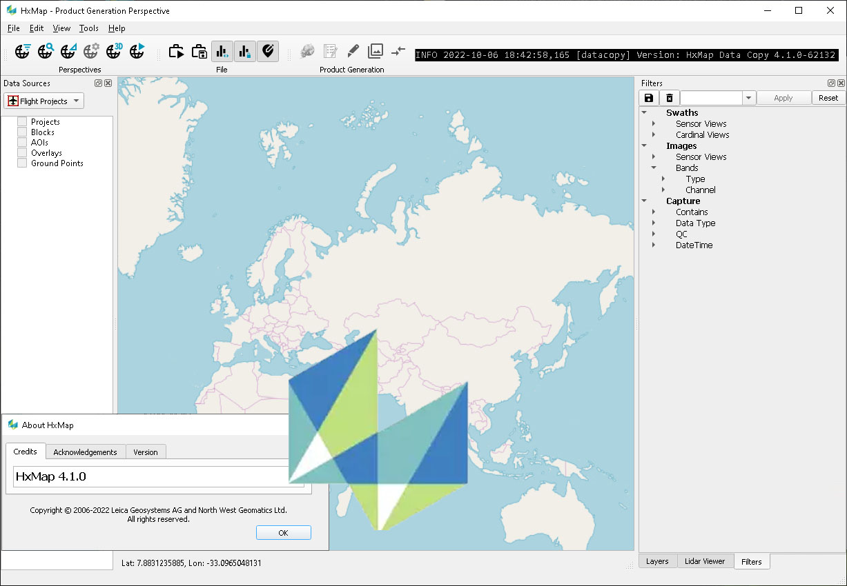
Download Leica Hexagon HxMap 4.4 – The Advanced Geospatial Processing Platform
Leica HxMap 4.4 is an advanced geospatial processing platform developed by Leica Geosystems, a part of Hexagon AB. This software is designed for professionals in surveying, urban planning, environmental management, and engineering. It provides an integrated environment for post-processing airborne sensor data, enhancing the efficiency of comprehensive data workflows for various geospatial applications.
Introduction to Leica HxMap 4.4
Overview and Applications
Leica HxMap 4.4 serves as a unified platform for processing diverse types of airborne sensor data. Its core function is to streamline the post-processing workflow, integrating essential steps from data download to final product generation. This makes it an invaluable tool for organizations involved in capturing and analyzing high-resolution geospatial information for applications ranging from detailed urban modeling to extensive environmental monitoring and precise surveying projects.
Key Features of Leica HxMap
Multi-Sensor Processing Workflow
A significant capability of Leica HxMap 4.4 is its robust support for a multi-sensor workflow. The software is engineered to seamlessly integrate and process data from various airborne sensors simultaneously, including LiDAR and RGB imaging systems. This allows for the creation of comprehensive datasets that combine different data types, leading to more complete and accurate analysis for complex geospatial projects.
Modules Overview
Leica HxMap 4.4 offers a modular design, allowing users to select functionalities based on project requirements. Key components include:
- HxMap Enabler: Facilitates the ingestion and initial management of raw sensor data.
- HxMap Provider: Optimizes data for efficient processing and integration within the HxMap environment.
- HxMap Core Image: Manages the fundamental image processing tasks, including radiometric and geometric corrections.
- LiDAR Processing Module: Dedicated tools for handling LiDAR data, focusing on point cloud generation and analysis.
- 3D Modeling Tools: Capabilities for creating detailed three-dimensional models from processed sensor data.
Aerial Triangulation and LiDAR Capabilities
Leica HxMap 4.4 excels in managing critical data processing steps such as aerial triangulation and LiDAR data handling. The software’s aerial triangulation capabilities ensure accurate georeferencing of imagery, establishing precise ground control for subsequent data processing. For LiDAR operations, HxMap facilitates the processing of dense point clouds, enabling the generation of accurate digital elevation models, terrain models, and 3D representations of landscapes and infrastructure.
Real-World Applications and Case Studies
The versatility of Leica HxMap 4.4 makes it applicable across a spectrum of real-world scenarios. In urban planning, it supports the creation of detailed city models for infrastructure development and management. For environmental monitoring, the software is used to analyze land cover changes, track deforestation, and assess environmental impact. Large-area geographical surveys also benefit from its efficient processing capabilities, enabling rapid generation of orthophotos and maps for national or regional mapping initiatives.
Comparative Analysis with Competitor Tools
When compared to other geospatial processing software, Leica HxMap 4.4 distinguishes itself through its integrated multi-sensor workflow and modular architecture. While many tools offer individual capabilities for LiDAR or imagery processing, HxMap provides a cohesive platform that reduces the need for multiple software applications. Its focus on seamless data integration and workflow efficiency, particularly for airborne sensor data, positions it as a strong solution for complex and demanding geospatial projects.
Getting the Most Out of Leica HxMap
To maximize the benefits of Leica HxMap 4.4, users should leverage its modular design by selecting the appropriate components for their specific project needs. Consistent use of aerial triangulation and LiDAR processing modules, combined with an understanding of the multi-sensor workflow, can lead to highly accurate and efficient data products. Considering complementary Leica Geosystems hardware or specialized analytical tools can further enhance the overall data acquisition and processing pipeline.
Frequently Asked Questions
What types of sensors are compatible with HxMap 4.4?
Leica HxMap 4.4 supports various airborne sensors, including LiDAR and RGB imaging sensors, enabling integrated multi-sensor workflows for diverse data types. This compatibility allows for unified processing of photogrammetric and laser scanning data.
How does HxMap improve the efficiency of geospatial data processing?
HxMap streamlines the workflow by providing an intuitive interface that consolidates data download, processing, and product generation, significantly reducing turnaround times for various mapping projects. Its integrated approach minimizes data handoffs and reprocessing steps.
Can HxMap be used for both large-scale and small projects?
Yes, HxMap is designed to handle a range of project sizes, making it suitable for large country-wide mappings as well as focused engineering projects, providing flexibility in geospatial applications. Its scalable architecture adapts to varying data volumes and complexities.


Reviews
There are no reviews yet.