
Download midas GeoXD 2020 v1.1 – Advanced Shoring Design Software
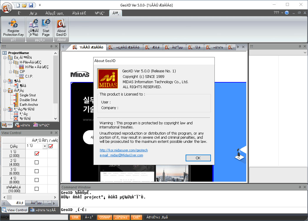
Download midas GeoXD 2020 v1.1, a specialized software developed by Midas Information Technology Co., Ltd., designed for civil and geotechnical engineering professionals. This tool focuses on streamlining the complex process of shoring design, offering powerful automation features to enhance efficiency and accuracy in critical infrastructure projects.
Overview of midas GeoXD 2020 v1.1
Introduction to the Software
midas GeoXD 2020 v1.1 is a robust application tailored for civil engineers specializing in geotechnical design. It provides dedicated functionalities to manage and execute shoring designs, a crucial element in excavation projects. The software aims to simplify intricate tasks, allowing engineers to concentrate on design integrity and project timelines.
Key Features and Design Capabilities
Automated Design Tools
midas GeoXD excels in automating repetitive tasks within the shoring design process. Its key features include:
- Drag-and-drop functionality for the intuitive assignment of support systems, allowing for rapid placement and modification.
- Automatic alignment capabilities that ensure support structures are correctly positioned, reducing manual effort and potential errors.
- Efficient management of various shoring components, enabling engineers to build complex support systems with ease.
Drawing Generation
The software significantly accelerates the documentation phase through its automated drawing generation. Engineers can produce necessary design drawings quickly:
- Generate standard construction drawings with a single click, saving considerable drafting time.
- Support for common export formats, including DWG, ensuring compatibility with standard CAD workflows.
- The ability to create detailed plans, sections, and views directly from the design model, ensuring consistency between design and documentation.
Applications in Civil Engineering
Industry Use Cases
midas GeoXD 2020 v1.1 finds application in a variety of civil engineering contexts, particularly where excavation and earth retention are involved. Common use cases include:
- Designing temporary support systems for deep excavations in urban environments.
- Planning shoring solutions for tunneling and underground construction projects.
- Optimizing dewatering and ground support strategies for large-scale infrastructure development like bridges and subway stations.
- Enhancing workflow efficiency in projects requiring complex geotechnical analyses and designs.
Integration with Other midas Products
To provide a comprehensive engineering solution, midas GeoXD offers integration capabilities with other Midas software products. This connectivity allows for a more robust design and analysis workflow:
- Seamlessly export design data to midas GTS NX, a powerful 2D and 3D finite element analysis software for advanced geotechnical simulations.
- The integration facilitates a data transition from design to sophisticated analysis without re-inputting information, preserving design integrity.
- This synergy allows users to leverage specialized tools for different stages of a geotechnical project, from initial design to final analysis and reporting.
Advantages Over Competitors
Efficiency and Ease of Use
Compared to traditional CAD-based shoring design methods or less specialized software, midas GeoXD offers distinct advantages in efficiency and user experience. Its automation features significantly reduce the time spent on design and documentation. The intuitive interface and drag-and-drop functionality make it accessible even for complex geotechnical designs, bridging the gap between basic CAD tools and advanced simulation packages.
User Testimonials and Case Studies
While specific user testimonials are not detailed here, engineering professionals frequently report that workflow automation tools like those in midas GeoXD lead to substantial time savings and a reduction in design-related errors. The ability to quickly generate drawings and integrate with advanced analysis software like GTS NX allows teams to respond more efficiently to project demands and design challenges in geotechnical engineering.
Conclusion and Final Thoughts
midas GeoXD 2020 v1.1 stands out as a highly specialized and efficient tool for shoring design within the civil and geotechnical engineering sectors. Its unique automation features, such as drag-and-drop support system placement and one-click drawing generation, combined with its integration capabilities, offer a compelling solution for engineers seeking to streamline their design processes and improve project outcomes. For professionals involved in excavation and earth retention design, midas GeoXD provides a focused set of tools to enhance productivity and accuracy.
Frequently Asked Questions
What is midas GeoXD used for?
midas GeoXD is primarily used for shoring design in civil engineering, optimizing workflows by automating repetitive tasks and reducing errors in design and drawing generation. It addresses the specific needs of geotechnical engineers dealing with excavation support systems.
How does midas GeoXD simplify shoring design?
The software offers functionalities such as drag-and-drop style assignment for support systems and auto-alignment features, which help streamline the design process significantly. These tools reduce manual effort and potential for mistakes in constructing complex support structures.
Can midas GeoXD export to and integrate with other software?
Yes, midas GeoXD allows users to export drawings in DWG format and integrates with GTS NX for advanced 2D and 3D analysis. This compatibility ensures that the design work can be seamlessly transferred for further simulation and reporting.


Reviews
There are no reviews yet.