Download ZondST 3D – Advanced Seismic Tomography Software
ZondST 3D download provides access to a specialized seismic tomography software developed by Zond Geophysical Software. This application is designed for the three-dimensional interpretation of seismic tomography data, specifically utilizing refracted waves for detailed geological studies. It addresses critical challenges in seismology by solving inverse kinematics to determine the subsurface velocity structure, making it an essential tool for geophysics and environmental engineering professionals.
Introduction to ZondST 3D
Overview of Seismic Tomography
Seismic tomography is a fundamental technique in geophysics used to create detailed models of the Earth’s interior. ZondST 3D leverages this principle by employing advanced algorithms to process and interpret seismic wave data. Its primary purpose is to derive a three-dimensional velocity structure of geological formations, which is crucial for understanding subsurface properties and identifying potential resources or hazards. The software plays a significant role in academic research and practical applications within the earth sciences.
Core Applications in Geophysics
Industry Relevance and Use Cases
ZondST 3D finds extensive application across various sectors within geophysics and related earth science fields. Its capabilities in precise subsurface imaging make it invaluable for:
- Geological Studies: Investigating subsurface structures, fault lines, and geological anomalies.
- Environmental Engineering: Assessing ground conditions for infrastructure projects, understanding groundwater flow, and mapping contaminated sites.
- Oil and Gas Exploration: Identifying potential hydrocarbon reservoirs by analyzing seismic velocities indicative of rock types and fluid content.
- Geotechnical Surveys: Evaluating soil and rock properties for construction and mining operations.
The software’s flexibility in handling diverse seismic observation systems, including borehole and crosshole methods, further enhances its utility in specialized geological surveys.
Key Features and Functionalities
Mathematical Modeling and Inversion Techniques
At its core, ZondST 3D excels in mathematical modeling and inversion, providing robust tools for seismic data analysis. It incorporates specialized algorithms designed to solve both forward and inverse problems inherent in seismic tomography. Key functionalities include:
- Forward Modeling: Utilizes a high-speed ray tracing algorithm for efficient seismic modeling, simulating wave propagation through complex subsurface models.
- Inverse Kinematics: Solves the inverse problem to determine the subsurface velocity structure from observed seismic data.
- Inversion Algorithms: Implements a range of inversion techniques, such as smooth inversion and robust inversion, allowing users to select the most appropriate method for their specific data and geological context.
- Parameterization: Offers flexibility in model parameterization, enabling users to define the subsurface geometry and properties effectively for accurate inversion.
Data Processing and Visualization Capabilities
ZondST 3D emphasizes a user-friendly interface combined with powerful data handling and visualization tools. This design philosophy enhances analytical efficiency and facilitates a deeper understanding of complex seismic datasets. The software supports:
- Intuitive User Interface: Designed for ease of navigation and operation, making advanced seismic tomography accessible.
- Flexible Data Import/Export: Capability to import and export data in various formats, ensuring compatibility with different observational systems and workflows.
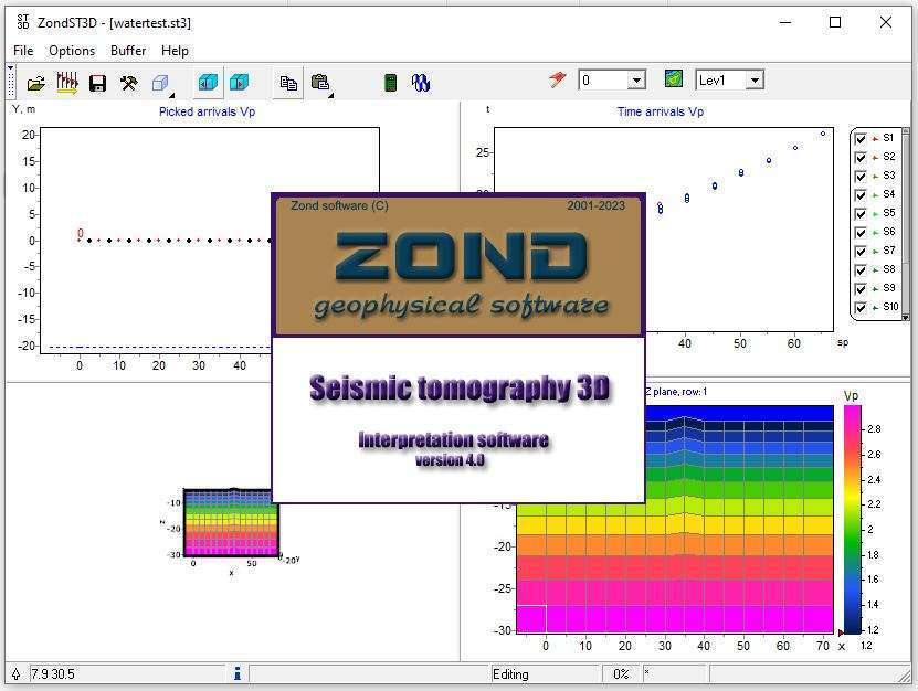
- Advanced Data Visualization: Offers multiple methods to display seismic models, including isosurfaces, cross-sections, and point-based representations. This allows for detailed examination of the derived velocity structure and geological features.
- Graphical Tools: Comprehensive tools for plotting travel times, residuals, and model parameters, aiding in the validation and interpretation of results.
Advantages Over Competing Software
ZondST 3D distinguishes itself in the geophysics software market through several key features aimed at improving efficiency and accuracy in seismic tomography. Compared to other solutions, it offers:
- Specialized Ray Tracing: Its high-speed ray tracing algorithm contributes to significantly faster forward calculations, which is critical for iterative inversion processes.
- Integrated Workflow: Provides a cohesive environment for handling seismic tomography projects from data import through to final 3D seismic imaging and analysis, reducing the need for multiple software packages.
- Robust Inversion Options: The inclusion of various inversion algorithms like smooth and robust inversion provides flexibility for different geological conditions and data quality.
- User-Centric Design: A strong focus on a user-friendly interface and comprehensive visualization tools simplifies complex data interpretation, making advanced Zond geophysical applications more accessible to a wider range of practitioners.
Real-World Applications and Case Studies
ZondST 3D has been applied in numerous projects, demonstrating its effectiveness in real-world geophysics scenarios. While specific published case studies may vary, the software’s capabilities are consistently utilized for applications such as:
- Mapping shallow subsurface structures for urban planning and geological surveys.
- Analyzing velocity anomalies for identifying potential mineral or hydrocarbon deposits.
- Assessing the integrity of geological formations for large-scale construction projects.
- Environmental site assessments requiring detailed understanding of subsurface stratigraphy and material properties.
The software’s ability to integrate diverse observation systems allows it to be adapted for unique project requirements, contributing to successful outcomes in challenging environments.
Conclusion: Why Choose ZondST 3D?
For geophysicists, geologists, and environmental engineers requiring sophisticated tools for 3D seismic data interpretation, ZondST 3D offers a compelling solution. Its advanced mathematical modeling capabilities, efficient ray tracing algorithms, and comprehensive data visualization features support accurate velocity structure inversion. The software’s user-friendly design and flexibility in handling different seismic data types make it a powerful asset for a wide range of geological studies and geophysical applications. Choosing ZondST 3D means opting for a specialized, performant tool designed to deliver insightful 3D seismic imaging necessary for critical decision-making.
Frequently Asked Questions
What is ZondST 3D used for?
ZondST 3D is primarily used for seismic tomography to interpret three-dimensional seismic data, specifically focusing on obtaining the velocity structure of geological formations. It is widely utilized in geophysical studies and environmental engineering projects, aiding in the detailed analysis of subsurface geological conditions.
How does ZondST 3D handle data visualization?
ZondST 3D features multiple data visualization methods, allowing users to display seismic models through various graphical representations like isosurfaces and sections. This enhances the ability to analyze and interpret geological data effectively, providing clear insights into subsurface variations.
What algorithms does ZondST 3D use for inversion?
ZondST 3D utilizes several inversion algorithms, including smooth inversion and robust inversion techniques, allowing for different modeling approaches to best fit the geological data. This flexibility enables users to optimize results based on specific project needs and data characteristics.


Reviews
There are no reviews yet.