
Download GeoModeller 2014 – Advanced 3D Geological Modeling Software
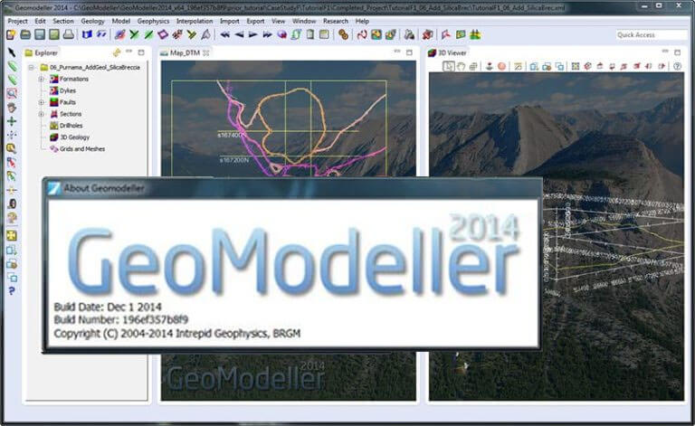
GeoModeller 2014 is an advanced 3D geological modeling software developed by Intrepid Geophysics in collaboration with the Bureau de Recherches Géologiques et Minières. This specialized application is designed for the Environmental & Earth Sciences sector, with significant applications in geology, mining, and oil exploration. It provides geologists with sophisticated tools to create accurate and probabilistic geological models from diverse datasets.
Overview of GeoModeller and Its Applications
GeoModeller represents a significant advancement in geological modeling software, building upon extensive research and development. Its creation involved the expertise of Intrepid Geophysics and the Bureau de Recherches Géologiques et Minières, pooling resources to deliver a comprehensive solution for geological challenges. The software is pivotal in understanding subsurface structures and is utilized across various scientific and industrial fields that rely on detailed geological interpretation.
Key Features and Functionalities of GeoModeller
GeoModeller distinguishes itself through a robust set of features designed for comprehensive geological analysis and modeling. Its architecture supports the integration of disparate geological information sources into a unified 3D environment.
- Data Integration: Seamlessly incorporates surface geological linework, cross-sections, borehole data, and geophysical interpretations.
- 3D Geostatistical Interpolation: Utilizes advanced geostatistical algorithms to generate probabilistic geological models, offering a measure of uncertainty.
- Inversion Modeling: Capable of performing inversion modeling on geophysical data, such as seismic and magnetic datasets, which is crucial for refining geological hypotheses and interpretations.
- Geometric Processing: Leverages the Open CASCADE kernel for its geometric processes, ensuring the robustness and reliability of the generated 3D geological models.
Methodology Behind 3D Geological Modeling
The core of GeoModeller’s capability lies in its advanced methodology for constructing 3D geological models. It focuses on a geostatistical approach that translates various geological inputs into a coherent and verifiable subsurface representation. The software is adept at handling the complexities of geological data, particularly geophysical measurements.
- GeoModeller constructs models by integrating geological data, including linework, cross-sections, and borehole information.
- It employs 3D geostatistical interpolation to create probabilistic models, reflecting the inherent uncertainties in geological interpretation.
- The software is equipped to perform inversion modeling, specifically processing seismic and magnetic data to enhance geological understanding and validate model structures.
Real-World Applications and Use Cases
GeoModeller 2014 is a versatile tool with practical applications across critical sectors in the earth sciences. Its ability to create detailed 3D geological models and perform data inversion makes it invaluable for geologists in mining, oil exploration, and environmental management.
- Mining and Mineral Exploration: Used for defining ore body geometries, estimating resource volumes, and planning mine development by visualizing subsurface structures.
- Oil and Gas Exploration: Applied in subsurface mapping to identify potential hydrocarbon reservoirs, understand basin structures, and guide exploration drilling.
- Environmental Assessments: Facilitates geological surveys for projects requiring an understanding of subsurface conditions, such as groundwater studies or waste disposal site assessments.
- Geological Research: Supports academic research by enabling detailed visualization and analysis of geological formations and processes.
Comparison with Other Geological Modeling Tools
GeoModeller offers a distinct approach to geological modeling compared to many other software solutions. Its strength lies in the integration of a probabilistic, geostatistical framework with robust geophysical data inversion capabilities. While other tools might focus on direct interpolation or CAD-like modeling, GeoModeller emphasizes building models that are inherently constrained by geological principles and verified through geophysical inversions, providing a more rigorous approach to geological interpretation.
Frequently Asked Questions
What types of geological data can GeoModeller utilize?
GeoModeller can integrate various types of geological data, including surface geological linework, drillhole data, seismic profiles, and magnetic data to construct comprehensive geological models. This diverse data handling capability allows for the creation of rich, multi-faceted subsurface representations.
How does GeoModeller handle data inversion?
GeoModeller employs an iterative method for data inversion, allowing it to process both direct and indirect geological data to refine its 3D geological models into probabilistic representations. This iterative process helps in achieving a better fit between the model and observed geophysical data.
Is GeoModeller suitable for both academic and industry use?
Yes, GeoModeller is designed for both academic research and practical applications in the mining and oil industries, providing robust tools for geologists in various fields. Its blend of advanced modeling and data verification functionalities serves a wide range of professional requirements.


Reviews
There are no reviews yet.