
Download CALPUFF View 10.0 – Advanced Air Quality Modeling Software
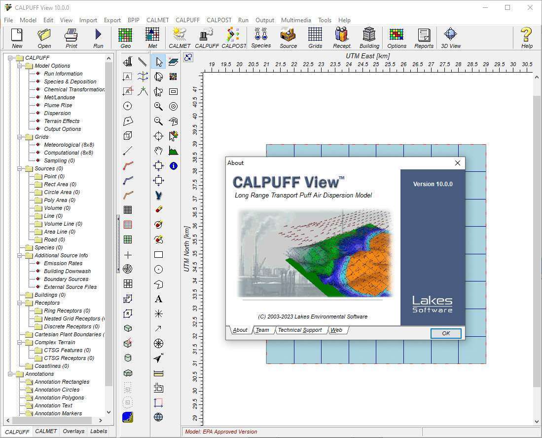
CALPUFF View 10.0, developed by Lakes Environmental Software, is a sophisticated application designed for complex air quality modeling within the environmental engineering sector. This software enables professionals to simulate the dispersion of air pollutants, offering critical capabilities for environmental assessments and pollution control strategies, particularly in challenging geographical and meteorological settings.
Introduction to CALPUFF View
Overview of CALPUFF Software
CALPUFF View is an integral component of the CALPUFF modeling system, a premier tool for advanced air quality assessment. It specializes in simulating pollutant dispersion, addressing scenarios that extend beyond the typical range of simpler models. Its application is crucial for environmental engineering projects that require detailed analysis of air quality impacts, environmental pollution control, and regulatory compliance.
Key Features of CALPUFF View
Advanced Dispersion Modeling
The software excels in modeling the atmospheric dispersion of pollutants using a puff-based approach. This methodology allows for more accurate simulations, especially under complex meteorological conditions and in terrains that feature significant topographical variations. CALPUFF View is designed to handle scenarios involving both short-term and long-term pollution transport. Its capabilities are essential for understanding how contaminants spread over varied landscapes, impacting ambient air quality.
Integration with GIS for Enhanced Visualization
CALPUFF View incorporates a comprehensive Geographic Information System (GIS) interface, significantly enhancing its analytical and visualization capabilities. This integration allows users to overlay pollutant dispersion patterns directly onto geographic maps, incorporating spatial data for a more contextualized understanding of environmental impacts. This feature facilitates detailed examination of how pollution interacts with local land use, weather patterns, and receptor locations.
Capabilities for Multi-Species and Time-Based Modeling
The software supports the modeling of multiple pollutant species simultaneously, alongside complex time-based scenarios that reflect fluctuating meteorological conditions. This multi-layered approach is vital for comprehensive air quality assessments, enabling the simulation of various chemical transformations and deposition processes. Users can analyze the cumulative effects of different pollutants and temporal variations in emissions and weather, providing a granular view of air quality dynamics.
Real-World Applications in Environmental Engineering
CALPUFF View is widely used for conducting environmental assessments for industrial projects, contributing to regulatory compliance with stringent air pollution control standards. Environmental engineers utilize the software for impact assessments on air quality, supporting permit applications and risk management strategies. It is particularly valuable for modeling pollutant spread from sources like power plants or manufacturing facilities, where far-field and complex terrain effects are significant.
Comparative Benefits of CALPUFF View
Compared to traditional Gaussian plume models such as AERMOD, CALPUFF View offers distinct advantages for specific modeling challenges. While AERMOD is effective for near-field, steady-state conditions, CALPUFF is engineered for long-range transport (beyond 50 km) and is more adept at handling variable meteorological data and complex terrain. This makes CALPUFF View the preferred choice for modeling scenarios that demand greater accuracy regarding puff dispersion and non-steady-state atmospheric processes.
Frequently Asked Questions
What is CALPUFF View and its primary use?
CALPUFF View is a software application for modeling the dispersion of airborne pollutants. It is primarily used in environmental engineering for simulating air quality impacts over large distances and in complex terrains, providing essential data for environmental assessments and regulatory purposes.
How does CALPUFF View integrate with GIS?
CALPUFF View features a fully integrated GIS-based interface, allowing users to visualize pollutant dispersion alongside geographical data, enhancing their analyses of environmental impacts. This means users can import and utilize shapefiles and other geospatial data to accurately represent the landscape and pollution spread.
In which scenarios should CALPUFF be preferred over traditional models?
CALPUFF should be preferred in scenarios involving long-range pollutant transport, complex terrain features, or when accounting for variable meteorological conditions, which traditional models might not handle effectively. Its advanced puff dispersion capabilities excel where plume models might oversimplify atmospheric dynamics.


Reviews
There are no reviews yet.