
Download CatchmentSIM – Advanced Hydrology Analysis Software
CatchmentSIM is a specialized hydrological modeling and water resource management software developed by Catchment Simulation Solutions. This powerful application is designed to assist professionals in hydrology and environmental engineering by providing advanced tools for land hydrology analysis. Its capabilities are crucial for understanding and managing water resources, making it a significant asset for users seeking to perform detailed watershed analysis.
Introduction to CatchmentSIM
CatchmentSIM represents a significant advancement in hydrological engineering software, offering a comprehensive platform for analyzing land hydrology and managing water resources. Developed by Catchment Simulation Solutions, it addresses the complex needs of professionals in the hydrology and environmental engineering sectors. The software’s focus on detailed analysis and robust modeling makes it indispensable for projects requiring accurate water resource assessments and management strategies.
Key Capabilities and Tools
CatchmentSIM equips users with a robust suite of tools designed for detailed hydrological analysis. Its functionalities are centered around understanding and modeling water flow and distribution within a landscape, crucial for effective water resource management and environmental assessment.
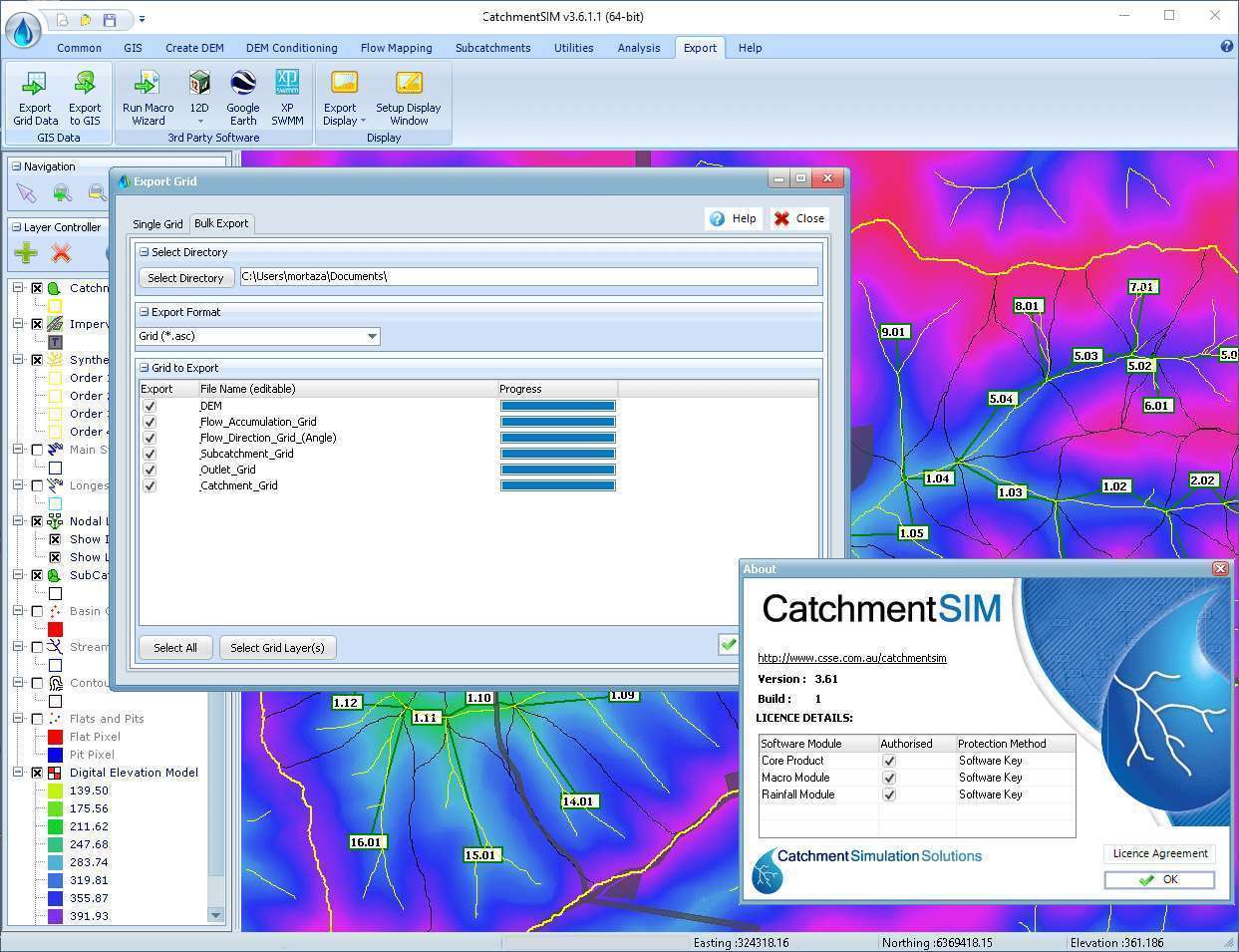
- Digital Elevation Model (DEM) Creation: The software facilitates the generation of accurate DEMs, which serve as the foundational data for all subsequent hydrological analyses. It employs advanced algorithms to process and enhance raw elevation data.
- Watershed Division: CatchmentSIM automates the complex process of dividing a given area into distinct watersheds, identifying drainage networks and contributing flow paths.
- Hydrological Parameter Calculation: It enables the calculation of key hydrological parameters, including impervious surface calculations, essential for understanding runoff characteristics and stormwater management.
- Flow Path and Routing Analysis: The software excels in simulating water flow paths, calculating overland and channel routing, which is vital for flood forecasting and infrastructure design.
- Advanced Filling Capabilities: CatchmentSIM includes sophisticated tools for filling depressions in DEMs, ensuring accurate stream network delineation and flow path determination.
Real-World Applications in Hydrology
The capabilities of CatchmentSIM are extensively applied across various real-world scenarios within hydrology and environmental engineering. Professionals leverage its tools for critical project planning, assessment, and ongoing management.
- Environmental Impact Assessments: Used to model the potential impacts of development projects on local hydrology, including effects on water quality and runoff.
- Flood Risk Management: Essential for flood forecasting, identifying areas prone to inundation, and designing appropriate flood mitigation strategies.
- Water Resource Management: Supports analysis of water availability, demand, and the sustainable management of surface and groundwater resources.
- Urban Planning and Stormwater Design: Facilitates the design of effective stormwater management systems by analyzing rainfall-runoff processes in urban environments.
- Agricultural Water Management: Aids in planning irrigation schemes and assessing water needs for agricultural productivity while managing potential erosion.
Integration and Compatibility with Other Tools
CatchmentSIM is designed to enhance, rather than replace, existing workflows by offering flexible integration capabilities. This interoperability ensures that users can incorporate its advanced hydrological analysis into their broader project management and data processing pipelines.
- Data Format Compatibility: Supports a wide range of common geospatial data formats, allowing seamless import of existing elevation and land cover data.
- Scripting and Automation: Features scripting capabilities that allow users to automate repetitive tasks and customize workflows, significantly improving efficiency.
- GIS Platform Integration: Designed to work efficiently with popular Geographic Information System (GIS) platforms, enabling users to combine CatchmentSIM’s hydrological outputs with other spatial data layers for comprehensive analysis.
- External Model Interfacing: Offers potential pathways to interface with other simulation tools, creating more complex and integrated environmental models.
Benefits for Civil Engineers and Environmental Professionals
Civil engineers and environmental professionals gain significant advantages by utilizing CatchmentSIM in their projects. The software streamlines complex analyses, enhances decision-making, and ultimately leads to more effective and sustainable project outcomes.
- Improved Accuracy: The advanced algorithms and robust modeling capabilities ensure a higher degree of accuracy in hydrological predictions and analyses.
- Enhanced Efficiency: Automated processes for DEM creation and watershed division save considerable time compared to manual methods.
- Informed Decision-Making: Provides clear, data-driven insights that support critical decisions regarding land use, infrastructure development, and environmental protection.
- Risk Reduction: Better understanding of hydrological processes helps in identifying and mitigating risks associated with flooding, water scarcity, and environmental degradation.
- Compliance and Reporting: Assists in meeting regulatory requirements and generating detailed reports for environmental assessments and project proposals.
Conclusion: Why Choose CatchmentSIM?
CatchmentSIM stands out as a premier hydrological modeling software for professionals dedicated to precise water resource analysis and watershed management. Its comprehensive feature set, including advanced DEM processing and automated watershed division, positions it as a powerful asset for civil engineering and environmental projects. The software’s integration capabilities and focus on delivering accurate, actionable insights make it a valuable choice for tackling complex hydrological challenges.
Frequently Asked Questions
What is CatchmentSIM used for?
CatchmentSIM is used for hydrological modeling and land hydrology analysis, facilitating the design and management of water resources through various features such as digital elevation modeling and watershed analysis. It helps professionals understand how water moves across landscapes and how to manage it effectively.
How does CatchmentSIM create digital elevation models?
CatchmentSIM utilizes a diverse set of data sources to create digital elevation models (DEMs), including advanced algorithms to enhance and prepare elevation data for hydrological analysis. This process ensures that the resulting DEM is accurate and suitable for detailed watershed modeling.
Can CatchmentSIM integrate with other software tools?
Yes, CatchmentSIM offers integration capabilities with other existing tools, enhancing its utility for users by allowing for a more cohesive workflow in hydrological simulations. This interoperability ensures that CatchmentSIM can be a valuable part of a larger analytical toolkit.


Reviews
There are no reviews yet.