
Download TopoDOT for MicroStation 2025.2.1 – Advanced Point Cloud and Spatial Data Analysis Software
TopoDOT for MicroStation 2025.2.1 is a specialized spatial data analysis software developed by ClearEdge3D, a Bentley Systems company, designed to enhance the capabilities of Bentley’s MicroStation CAD platform. This powerful extension is tailored for civil engineers, surveyors, and mapping professionals, enabling comprehensive processing of 3D point cloud data, LiDAR, and other cartographic information within the civil engineering and infrastructure sectors, including transportation and GIS applications.
Comprehensive Spatial Data Analysis for Civil Engineering
TopoDOT for MicroStation serves as a critical analytical tool for civil engineering projects, offering advanced capabilities for processing diverse spatial datasets. It integrates seamlessly with the MicroStation environment, providing professionals with specialized functions to interpret and utilize 3D point clouds and LiDAR data. The software is particularly adept at supporting sectors such as road construction, railway surveying, and general infrastructure mapping, where precise spatial understanding is paramount for planning and execution.
Advanced Point Cloud Processing and Feature Extraction Tools
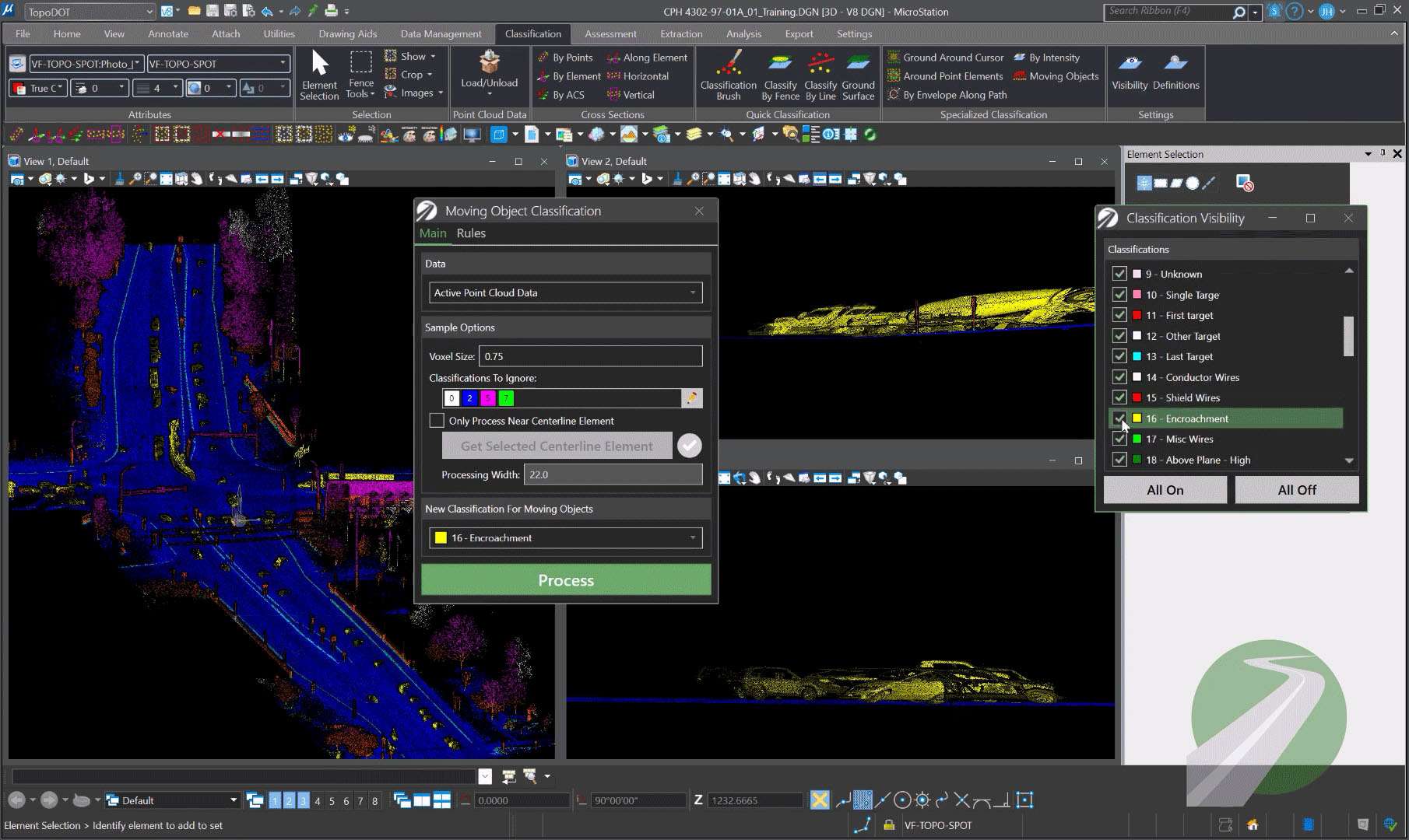
The software distinguishes itself through its advanced point cloud processing tools, leveraging AI and machine learning for automatic feature extraction. This automated capability significantly accelerates the process of identifying and delineating complex features from large datasets, such as existing roadways, utilities, and terrain. TopoDOT facilitates controlled spatial data workflows and enables the creation of accurate structural 3D models, enhancing the precision and efficiency that engineers require for detailed infrastructure analysis and design.
Specialized Capabilities for Road and Railway Surveying
TopoDOT offers a suite of functionalities specifically engineered for the meticulous demands of road and railway surveying. It allows for the automated extraction and modeling of critical topographic features along transportation corridors, including lane markings, guardrails, signage, and track alignments. These specialized tools streamline workflows for transportation projects, enabling faster and more accurate data collection and analysis needed for infrastructure maintenance, expansion, and management.
Integration with MicroStation and GIS Systems
As an integrated extension for MicroStation, TopoDOT enhances the native CAD capabilities by providing specialized tools for in-depth spatial data analysis. Users can benefit from a familiar workflow environment while accessing powerful point cloud processing and feature extraction. The software supports the recognition and integration of GIS data, paving the way for the creation and management of detailed digital twins. This synergy allows for comprehensive data management and analysis reflective of real-world infrastructure assets.
Real-World Applications and Industry Impact
In practical civil engineering scenarios, TopoDOT for MicroStation is deployed to manage complex spatial data challenges across numerous projects. Its application in infrastructure mapping, such as detailed road condition surveys or railway corridor assessments, demonstrably improves project accuracy. By automating time-consuming data extraction tasks and enhancing data management, TopoDOT contributes to cost efficiencies and more informed decision-making throughout the project lifecycle, supporting the development of robust infrastructure.
Supported Data Formats and Compatibility
TopoDOT for MicroStation is designed to handle a wide array of spatial data inputs essential for comprehensive engineering analysis. This includes support for various 3D point cloud formats generated by LiDAR scanners, as well as other cartographic and GIS datasets. The software’s compatibility ensures that engineers can integrate data from diverse sources into their MicroStation workflows. Its output capabilities are geared towards facilitating further analysis and application within engineering and mapping disciplines.
Frequently Asked Questions
What types of data can TopoDOT for MicroStation process for civil engineering projects?
TopoDOT processes various spatial data including 3D point clouds from LiDAR, cartographic data, and GIS datasets. It is designed to handle data specific to roads, railways, and infrastructure mapping, allowing for comprehensive analysis and modeling within the MicroStation environment.
How does TopoDOT improve the accuracy and efficiency of feature extraction from point cloud data?
Using artificial intelligence and machine learning, TopoDOT automates the identification and extraction of complex features from point clouds, reducing manual effort while maintaining high accuracy essential for engineering precision. This automation leads to significant time savings and more reliable data outputs.
Can TopoDOT for MicroStation be used for creating digital twins of infrastructure?
Yes, TopoDOT supports digital twin creation by accurately modeling physical assets and spatial data extracted from comprehensive surveys, allowing engineers to maintain up-to-date digital representations within MicroStation. This capability is vital for modern infrastructure management and planning.


Reviews
There are no reviews yet.