
Download SSPA Groundwater Desktop 5.2.35 – Advanced 3D Groundwater Modeling and Visualization Software
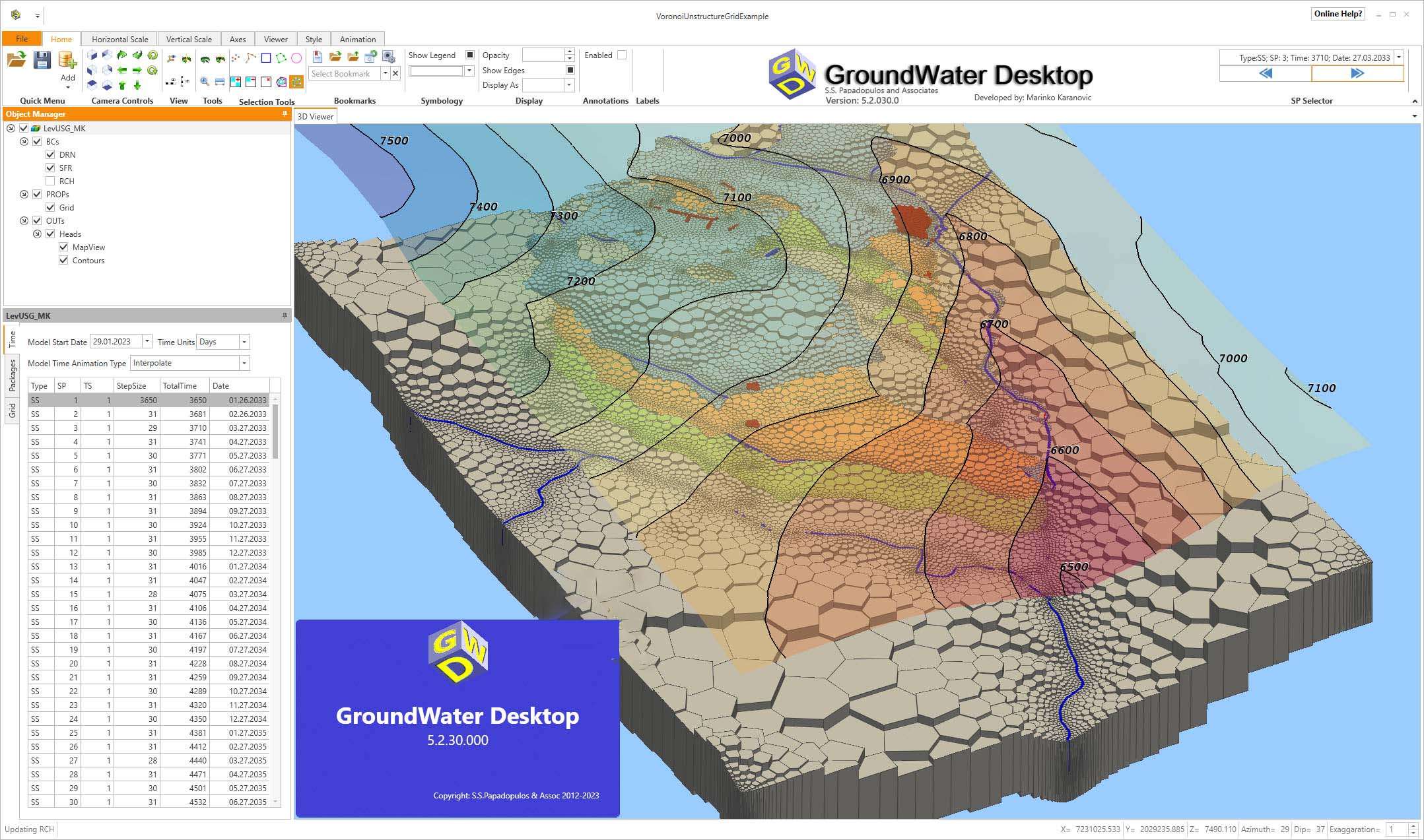
SSPA Groundwater Desktop 5.2.35 is a specialized 3D desktop application designed for the visualization and analysis of groundwater data. Developed for environmental engineers, hydrogeologists, and groundwater modelers, this software plays a crucial role in hydrogeological investigations and contaminated site assessments by providing advanced tools for understanding subsurface conditions and model outputs. Its primary function is to serve as a comprehensive groundwater modeling visualization software, integrating data analysis with powerful visual representation capabilities.
Overview of SSPA Groundwater Desktop and Applications in Hydrogeology
In the fields of environmental engineering and hydrogeology, accurately visualizing and analyzing subsurface water flow and contaminant transport is critical. SSPA Groundwater Desktop addresses this need by offering a robust platform that supports the interpretation of complex groundwater datasets and the outputs from various numerical models. The software facilitates a deeper understanding of groundwater systems, aiding professionals in making informed decisions for resource management and environmental protection. It serves as an essential tool for creating detailed conceptual site models and evaluating the results of groundwater investigations.
3D Visualization Tools for Groundwater and Contaminant Analysis
This application provides an extensive suite of 3D visualization features to enhance the understanding of subsurface conditions. Users can generate detailed graphical representations of groundwater flow, contaminant plumes, and geological formations. The advanced visualization capabilities include:
- Interactive slicing tools to view cross-sections of the subsurface at any orientation.
- Cutaway views that reveal internal structures and data distributions.
- Exploded layer views to isolate and examine individual geological or model layers.
- Tools for visualizing geological strata, well locations, and pumping interference.
These features are instrumental in clearly depicting the geometry and spatial extent of contaminant plumes, helping environmental professionals to accurately delineate impacted areas.
Integration with Leading Groundwater Flow and Transport Models
SSPA Groundwater Desktop is engineered for seamless interoperability with industry-standard groundwater simulation packages. This integration is key for users who rely on established modeling frameworks to predict groundwater behavior. The software efficiently handles and visualizes input parameters and simulation results from:
- MODFLOW (both classic structured grid and the newer MODFLOW-USG for unstructured meshes)
- MT3DMS for contaminant transport
- MODPATH for particle tracking and flow path analysis
- Other compatible groundwater modeling software outputs.
This broad compatibility ensures that users can import and analyze data from their existing modeling workflows without significant conversion issues, offering a unified environment for model calibration and result interpretation.
Geospatial Data Handling and Environmental Mapping
To provide essential contextual information for hydrogeological analysis, SSPA Groundwater Desktop supports a wide range of geospatial data formats. This capability allows for the integration of real-world environmental features with groundwater model data. Supported formats include:
- Raster images (e.g., digital elevation models, aerial photographs)
- Vector data from Shapefiles (e.g., property boundaries, monitoring well locations, surface water features)
- Orthophotos for accurate site representation.
These imported datasets can be overlaid onto 3D groundwater visualizations, providing a comprehensive view that combines subsurface conditions with surface topography and human infrastructure, thereby improving the accuracy and relevance of environmental assessments.
Advanced Geostatistical Analysis for Groundwater Investigations
Beyond visualization, SSPA Groundwater Desktop incorporates sophisticated geostatistical tools that are vital for in-depth groundwater investigations. These analytical capabilities set the software apart from basic viewers and enable quantitative assessment of subsurface properties. Key functions include:
- 3D Kriging for interpolating spatially variable data, such as contaminant concentrations or hydraulic conductivity, creating smooth and statistically sound 3D representations.
- Pollutant isosurface construction to define boundaries of contaminant concentrations in three dimensions.
- Precise volume and mass calculations for contaminants, providing quantitative measures crucial for risk assessment and remediation planning.
These advanced analytical features empower hydrogeologists and environmental scientists to perform rigorous evaluations of groundwater quality and quantity.
Practical Use Cases in Environmental Engineering and Contaminated Site Management
The comprehensive capabilities of SSPA Groundwater Desktop translate into numerous practical applications within environmental engineering and site management. Professionals utilize this software for a variety of critical tasks:
- Detailed groundwater mapping and aquifer characterization.
- Delineation and 3D analysis of contaminated plumes at industrial sites, landfills, and Superfund locations.
- Developing conceptual site models that accurately represent subsurface conditions.
- Assessing the effectiveness of groundwater remediation strategies.
- Planning and monitoring groundwater extraction or injection systems.
- Generating high-quality visualizations for regulatory reports and stakeholder communication.
The software’s integrated approach to data visualization, geospatial integration, and geostatistical analysis makes it an indispensable tool for tackling complex groundwater challenges.
Frequently Asked Questions
What types of groundwater models are compatible with SSPA Groundwater Desktop?
SSPA Groundwater Desktop supports interoperability with widely used groundwater flow and transport models including MODFLOW, MT3D, MODPATH, and the unstructured grid variant MODFLOW-USG, allowing users to visualize and analyze various model outputs within one platform for comprehensive analysis.
How does the software assist in understanding contaminant distribution in groundwater?
The software provides advanced 3D visualization tools like slicing and exploded views, coupled with geostatistical methods such as 3D kriging and pollutant isosurface construction, enabling detailed visualization and quantitative analysis of contaminant plumes across subsurface environments.
Can SSPA Groundwater Desktop import geospatial data for enhanced environmental mapping?
Yes, it supports importing geospatial data formats including rasters, shapefiles, and orthophotos. This capability enables overlaying spatial features such as buildings, terrain, and infrastructure which complements groundwater and contamination data analysis for a more contextualized understanding.


Reviews
There are no reviews yet.