
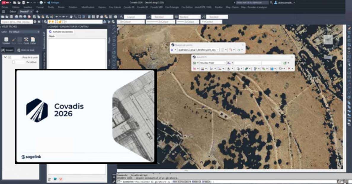
Download Covadis 2026.1 – Advanced Civil Engineering and Surveying Solution
Covadis 2026.1 is an advanced civil engineering and land surveying application developed by Géomédia S.A.S. that operates natively within Autodesk AutoCAD (64-bit). It is designed to provide specialized tools for professionals in civil engineering, land surveying, topography, road and site design, urban planning, and cadastral work, enhancing precision and efficiency from data acquisition to final documentation.
Comprehensive Civil Engineering and Land Surveying Capabilities
Covadis 2026.1 offers a comprehensive suite of tools tailored for the entire lifecycle of infrastructure and land development projects. Its capabilities span precise topographical surveys, detailed road and corridor design, methodical urban planning, accurate cadastral mapping, and intricate site development. The software facilitates the management of raw surveying data and its transformation into actionable design elements, supporting a wide range of civil engineering disciplines.
Seamless AutoCAD x64 Integration for Enhanced Workflow
Operating as an integrated module within Autodesk AutoCAD (64-bit), Covadis 2026.1 leverages the robust DWG file format for all project data. This native integration ensures a familiar working environment for AutoCAD users, eliminating the need for complex data conversions and promoting seamless collaboration. Projects initiated in Covadis are directly managed within AutoCAD, streamlining workflows from initial data processing through to final design deliverables and enhancing overall project efficiency.
Advanced Terrain and Site Modeling Features
Covadis 2026.1 excels in creating and manipulating digital terrain models (DTM) essential for site analysis and design. Professionals can build accurate terrain representations using techniques such as Triangular Irregular Networks (TIN), incorporating breaklines and topographical points. The software supports advanced functionalities like contour line generation, slope analysis, and sophisticated grading tools, enabling users to visualize and modify site topography effectively for construction and planning purposes.
Precision Alignment, Road, and Corridor Design
For linear infrastructure projects, Covadis 2026.1 provides specialized tools for designing roads, railways, and utility corridors. Users can define horizontal and vertical alignments with precision, generating longitudinal profiles and cross-sections dynamically. The software’s capabilities include the design of complex geometric alignments, super-elevation, and the management of corridor datasets, with options for dynamic labeling and annotation to ensure all design elements are clearly represented in project drawings.
Robust Earthworks and Volume Calculation Tools
Calculating earthworks volumes is a critical aspect of site development, and Covadis 2026.1 offers efficient tools for these computations. The software facilitates the calculation of cut and fill volumes based on terrain models and proposed designs, providing detailed reports and visualizations. This functionality is invaluable for engineers managing material quantities, optimizing site grading, and costing construction projects accurately.
Georeferencing, Coordinate Systems, and Data Interoperability
Ensuring accurate spatial positioning, Covadis 2026.1 incorporates comprehensive georeferencing capabilities. The software supports numerous national and international coordinate systems and geodetic datums, allowing for precise data alignment regardless of project location. Furthermore, it ensures broad data interoperability through support for widely used file formats such as LandXML, DXF, SHP, and CSV, facilitating data exchange with other software and stakeholders.
Professional Plan Production and Reporting
Covadis 2026.1 streamlines the creation of professional documentation required for civil engineering and surveying projects. It offers customizable drawing styles and automated drafting routines to generate plans, reports, and digital deliverables efficiently. Tools for cadastral design, including parcel layout and management, further enhance the software’s utility for land surveying and property development documentation.
Frequently Asked Questions
What types of civil engineering projects is Covadis 2026.1 best suited for?
Covadis 2026.1 is tailored for topography, road and corridor design, urban planning, cadastral mapping, and site development projects. It supports detailed surveying data handling and earthworks calculations, assisting engineers and planners in infrastructure and land development.
How does Covadis integrate with AutoCAD and why is this beneficial?
Covadis integrates natively with AutoCAD (64-bit), using DWG as its core file format. This allows users to work within a familiar CAD environment, ensuring seamless data transfer, collaboration, and compatibility with industry standards.
Can Covadis handle different coordinate systems and georeferencing standards?
Yes, Covadis offers robust georeferencing and coordinate system management, supporting national and international grids. This ensures accurate positioning and alignment of surveying and design data.


Reviews
There are no reviews yet.