Download Bentley Power GEOPAK V8i – Advanced Civil Infrastructure Design Software
Bentley Power GEOPAK V8i is a comprehensive civil infrastructure design software suite developed by Bentley Systems, Incorporated. This specialized application is engineered for professionals in civil engineering, transportation infrastructure design, site development, municipal engineering, and surveying. It facilitates 2D and 3D modeling, analysis, and plan production for a wide array of civil engineering projects, with a particular focus on roads, highways, sites, utilities, and drainage systems.
Comprehensive Civil Infrastructure Modeling Capabilities
Bentley Power GEOPAK V8i offers a robust platform for managing complex civil engineering projects from initial survey through to final construction documentation. The software supports detailed design workflows for transportation infrastructure, such as roadways and highways, as well as extensive site development projects. Its integrated approach allows engineers and designers to model and analyze various infrastructure components, ensuring adherence to project specifications and regulatory standards within a unified digital environment.
Advanced Corridor and Terrain Modeling Tools
This civil engineering design software excels in creating sophisticated 3D corridor models, essential for roadway and highway design. Users can define horizontal and vertical design alignments, and then apply templates representing typical cross-sections or materials to generate detailed 3D models. The software also facilitates the creation and manipulation of Digital Terrain Models (DTMs) from survey data, enabling accurate cut and fill volume calculations for earthwork management. Understanding these earthwork volumes is critical for project planning and cost estimation.
Automated Plan and Profile Sheet Production for Construction Documentation
Bentley Power GEOPAK V8i streamlines the creation of construction documentation through its automated plan and profile sheet production capabilities. The software can generate detailed plan and profile views, along with cross-sections, automatically annotated with essential data. This feature significantly reduces the manual effort required for drafting, ensuring consistency and accuracy in drawings used for bidding, permitting, and construction phases. Automated labeling of features and data supports adherence to industry standards, such as those mandated by Departments of Transportation (DOTs).
Integrated Storm and Sanitary Sewer Network Design
Addressing critical municipal and site development needs, GEOPAK incorporates dedicated modules for designing storm and sanitary sewer networks. These tools enable the precise hydraulic design of gravity pipe systems, performing essential calculations for flow rates and pipe capacities. The software manages manhole and inlet design, optimizing network layouts for efficiency and regulatory compliance. Users can generate detailed profiles of the pipe networks, crucial for construction and maintenance planning.
Survey Data Management and Coordinate Geometry Processing
The software includes powerful tools for processing raw field survey data, forming the foundation for accurate digital models. Capabilities include importing various survey data formats, performing traverse adjustments to ensure data integrity, and executing Coordinate Geometry (COGO) calculations. These functionalities support surveyors and civil engineers in establishing precise project control and geometric definitions, ensuring that designs are grounded in accurate field measurements and established coordinate systems.
Seamless Integration with Bentley’s MicroStation and Ecosystem
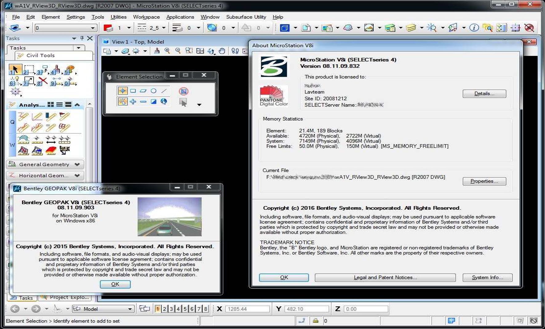
Bentley Power GEOPAK V8i is built upon and integrates seamlessly with the MicroStation CAD platform, leveraging its advanced drafting and visualization capabilities. This tight coupling ensures a consistent user experience and high compatibility with MicroStation’s file formats and reference capabilities. Furthermore, GEOPAK interoperates effectively with other Bentley V8i products like ProjectWise for project management and potentially InRoads for complementary design tasks. Support for industry-standard data formats such as LandXML and DWG ensures efficient data exchange with other software and stakeholders in the project lifecycle.
Final V8i Generation Enhancements Focused on Stability and Standards Compliance
As the mature, final release in the V8i generation, Bentley Power GEOPAK V8i v08.11.09.903 benefits from extensive development and refinement. This version includes a stable, reliable user interface and optimized workflows, building on years of user feedback. It emphasizes compliance with established design standards, such as those from AASHTO and various state DOTs, through expanded design libraries and template options. Performance improvements and enhanced stability make it a dependable choice for complex civil engineering tasks requiring adherence to stringent industry specifications.
Frequently Asked Questions
What industries benefit most from using Bentley Power GEOPAK V8i?
Bentley Power GEOPAK V8i is primarily used in civil engineering fields including transportation design, site development, municipal engineering, and surveying. Its specialized tools cater to roadway design, stormwater management, and earthworks, making it ideal for infrastructure projects in public works and private sectors.
How does GEOPAK integrate with Bentley MicroStation software?
GEOPAK runs within the Bentley MicroStation environment, leveraging its CAD capabilities for drafting and design visualization. This integration enables users to work within a unified platform for modeling, design, and documentation, while maintaining compatibility with MicroStation’s file formats and workflow tools.
What types of civil infrastructure components can be designed with GEOPAK?
Users can design horizontal and vertical road alignments, digital terrain models, earthworks, storm and sanitary sewer systems, cross-sections, and more. The software covers end-to-end workflows from survey data processing to final plan production for roads, highways, sites, utilities, and drainage infrastructure.


Reviews
There are no reviews yet.