
Download Mudshark v10.0.38 – Precision Earthworks Estimation and Site Analysis Software
Mudshark v10.0.38 is a specialized civil engineering software developed by BrightBox, designed for earthworks estimation and site analysis. It assists construction estimators, contractors, civil engineers, and land surveyors in accurately calculating earthworks volumes, planning site development, and managing construction projects. This software is crucial for streamlining bid processes and optimizing on-site operations within the civil engineering and land development sectors.
Overview of Mudshark in Civil Engineering Earthworks
Within civil engineering and construction, precise earthworks estimation is fundamental for project success. Mudshark provides engineers and contractors with powerful tools to accurately determine material volumes for excavation, filling, and grading. Its capabilities streamline the often complex process of site analysis, from initial design phases through to the execution of construction plans. Professionals rely on such software to manage large-scale earthmoving operations, ensure accurate project bidding, and maintain efficient site development.
Advanced Tools for Accurate Earthworks Volume Calculation
Mudshark employs specialized tools to ensure the highest accuracy in earthworks volume calculations. Key features include:
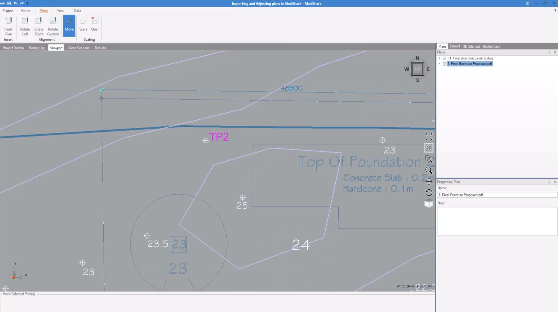
- One-Click Contour Capture: Rapidly extracts contour lines from imported CAD and PDF plans, significantly reducing manual data input time.
- TIN-Based Calculations: Utilizes triangulated irregular networks (TINs) to create detailed surface models, enabling precise calculation of cut-and-fill volumes.
- Versatile Takeoff Tools: Facilitates detailed measurement and analysis of various site features, supporting comprehensive earthworks reporting.
Integration of Drone and LiDAR Data for Enhanced Site Modeling
Modern earthworks projects increasingly leverage aerial survey data. Mudshark excels in integrating this information for sophisticated terrain modeling:
- Point Cloud Import: Supports direct import of point cloud data from industry-standard drone survey platforms and LiDAR scanners.
- High-Resolution Terrain Models: Enables the creation of accurate existing ground models (EGM) and digital terrain models (DTMs) from drone-captured data.
- Site Analysis with Survey Data: Provides a foundation for detailed site analysis by utilizing high-density, accurate terrain data derived from aerial surveys.
Interactive 3D Visualization and Modeling Features
To enhance understanding and communication, Mudshark offers advanced 3D visualization capabilities. Users can generate interactive models that depict the construction site in three dimensions. These models can include proposed designs, planned haul roads, and material stockpiles, offering a clear visual representation of project scope and volume changes. This 3D site visualization software improves analytical capacity and facilitates clearer discussions among project stakeholders.
Latest Enhancements in Version 10.0.38
Mudshark v10.0.38 introduces significant improvements tailored for efficiency and accuracy in earthworks estimation:
- Enhanced Drone Data Processing: A redesigned processing engine offers faster and more precise analysis of drone survey data.
- Improved CAD Compatibility: Expanded support for complex CAD file layers and external references ensures smoother import workflows.
- Revamped UI/Workflow: The user interface has been updated to streamline common tasks and improve overall user experience.
- Expanded Reporting: New and customizable report templates provide greater flexibility in generating detailed project documentation.
- Performance Optimizations: Enhanced handling of large datasets improves processing speed and overall software performance.
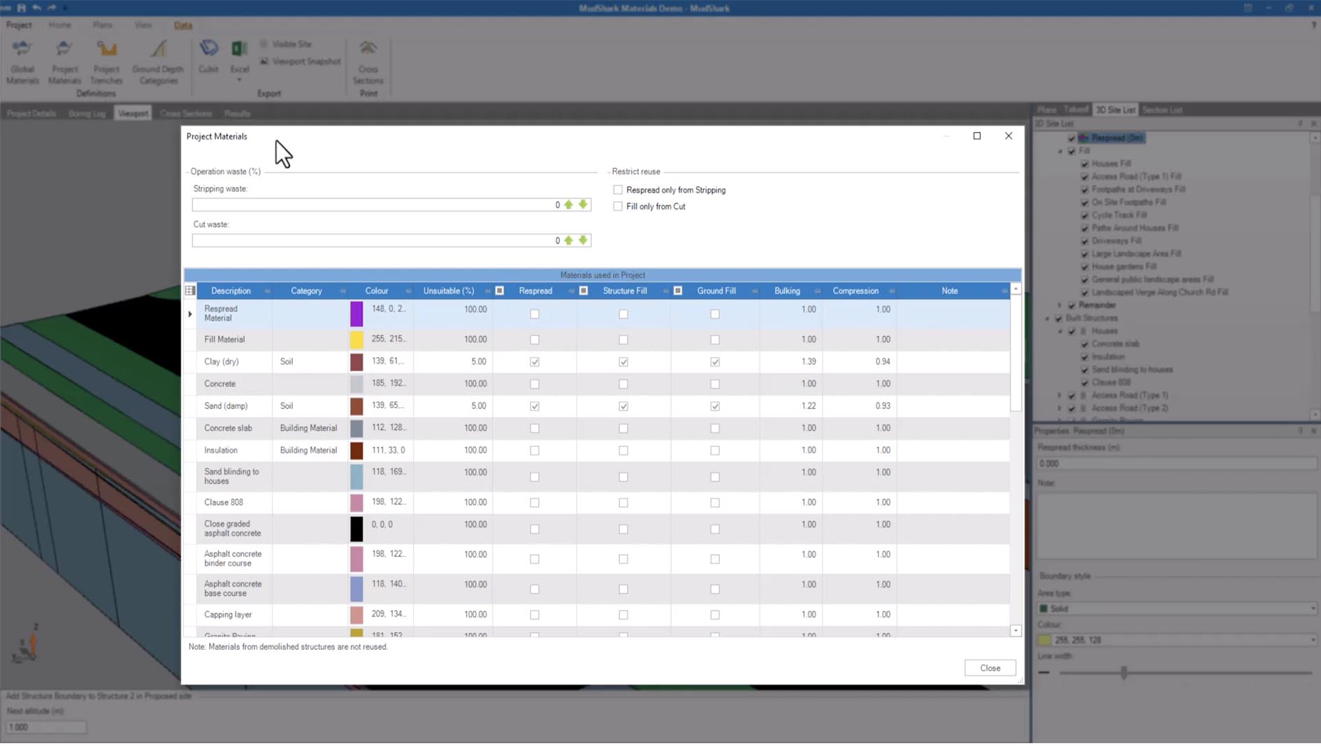
Reporting, Export Options, and Project Management Flexibility
Effective reporting and data management are critical for project success. Mudshark provides comprehensive features to support these needs:
- Detailed Volume Reports: Generates in-depth reports detailing material volumes, quantities, and site feature analysis.
- Flexible Export Capabilities: Supports exporting data to common formats for spreadsheets and other estimating tools, facilitating integration into broader project management systems.
- Unlimited Project Support: Allows users to manage an unlimited number of projects without licensing restrictions.
- Site Feature Tracing: Offers adaptable tools for tracing and managing various site features essential for accurate earthworks calculations.
Frequently Asked Questions
How does Mudshark integrate drone survey data for earthworks estimation?
Mudshark allows direct import of point cloud and surface data from popular drone survey platforms like DJI and Pix4D. This enables creation of accurate existing terrain models, improving precision in cut-and-fill volume calculations and site analysis. By leveraging this drone data, users can achieve highly detailed and accurate representations of the ground conditions, which is essential for precise earthworks quantity takeoffs.
What file formats does Mudshark support for contour and site data import?
Mudshark supports common 2D CAD formats such as DWG and DXF, as well as PDFs, allowing users to quickly capture contour lines from these plan sources. The latest version enhances compatibility with complex CAD layers and external references, ensuring that a wide range of design documents can be effectively utilized for analysis and volume calculations.
What improvements are included in Mudshark version 10.0.38?
Version 10.0.38 offers faster and more accurate drone data processing, improved handling of AutoCAD complex layers, a redesigned user interface for better workflow, expanded customizable report templates, and performance optimizations for large projects. These enhancements collectively improve the efficiency and precision of earthworks estimation and site analysis tasks for civil engineering professionals.


Reviews
There are no reviews yet.