
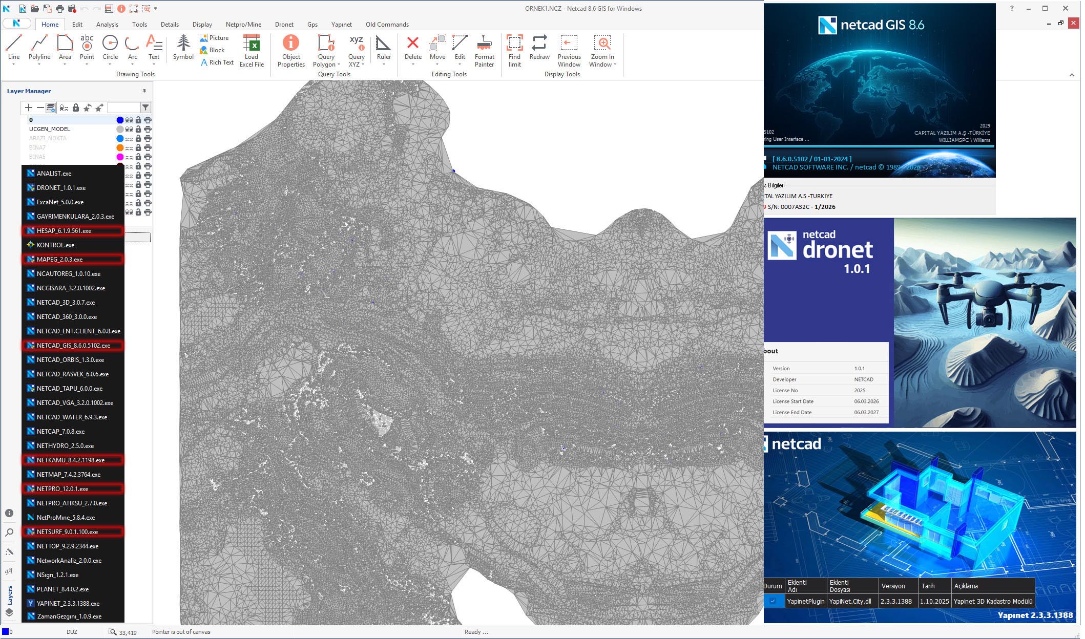
Netcad Super Suite 2026.03: All-in-One GIS & CAD Engineering Platform
Netcad Super Suite 2026.03 is a CAD and GIS‑based engineering software platform that combines powerful drafting tools with robust spatial data management. Unlike general‑purpose CAD programs, Netcad integrates GIS capabilities so users can design, map and manage geographic data in one place without switching between systems . The software is modular – you install only the modules needed for your specific job (surveying, road design, utility networks, urban planning, etc.), which keeps the workflow focused and efficient .
Version 2026.03 supports vector & raster data processing, spatial analysis, coordinate transformations, thematic mapping, and direct integration with total stations, GNSS receivers and drones . It also includes specialised modules for drone mapping (Dronet), infrastructure networks (Yapinet), transportation/road design, and urban planning, making it an all‑in‑one solution for everything from initial site survey to final project delivery .
???????? Primary Users
Netcad is designed for engineers, urban planners, surveyors and GIS specialists who need a single integrated environment for spatial data management, mapping, infrastructure design and land planning. It is widely adopted by municipalities, government agencies, utilities, and private engineering firms across Turkey and nearby regions for both CAD drafting and Geographic Information System (GIS) analysis
⚡ Key Features & Capabilities (Modular)
Netcad’s core functionality is organised into specialised modules. Below are the main types, including those you mentioned.
????️ 1. GIS Module (Core Spatial Data Management)
The GIS module is the core spatial data management system within Netcad. It allows users to :
-
Create and edit geographic data (points, lines, polygons, annotations).
-
Manage map layers with symbology, labelling and visibility controls.
-
Analyse spatial relationships – buffer, overlay, intersect, proximity queries.
-
Integrate databases – link attribute data to graphical objects.
-
Produce thematic maps – colour‑coded visualisations of quantitative data (population density, land use, elevation, etc.).
-
Handle vector and raster data, spatial queries, and coordinate transformations .
???? 2. Dronet (Drone Mapping Module)
Dronet is the drone mapping module for processing aerial imagery into professional survey outputs . It converts drone photos into:
-
Orthophotos (geometrically corrected aerial images)
-
Digital Surface Models (DSM) and Digital Terrain Models (DTM)
-
3D point clouds (LAS/LAZ)
-
Topographic maps
The workflow is integrated directly with Netcad’s CAD/GIS environment, allowing users to import, match, model and export results without third‑party photogrammetry software .
???? 3. Yapinet (Infrastructure / Utility Network Module)
Yapinet is designed for designing and managing infrastructure networks – including water supply, sewage, stormwater, natural gas, electricity, and telecommunications . Key capabilities include:
-
Network topology modelling (pipes, cables, manholes, valves, transformers).
-
Pipeline and conduit design with longitudinal profiles.
-
Hydraulic analysis (pressure, flow, demand, head loss).
-
Asset management – track installation date, material, diameter, maintenance history.
-
Maintenance planning and work order integration.
???? 4. Survey & Mapping Modules
These modules handle field surveying and photogrammetry:
-
Survey Module – processes data from total stations, GNSS/GPS receivers and levels; creates topographic maps, contour plans, and cadastral (property) maps .
-
Photogrammetry Module – processes satellite imagery and aerial photos for map production and terrain extraction.
????️ 5. Urban Planning Modules
Urban planning modules support municipal and regional planning activities :
-
Master plan and zoning plan preparation
-
Land use classification and mapping
-
Building density and floor area ratio (FAR) analysis
-
Development scenario evaluation
-
Parcel‑based planning and subdivision design
????️ 6. Transportation / Road Design Module
This module handles road corridor design including :
-
Horizontal alignment (plan layout)
-
Vertical alignment (profile with grades and vertical curves)
-
Cross‑section design (lanes, shoulders, ditches, side slopes)
-
Earthwork volume calculation (cut and fill)
-
Quantity take‑offs and construction reports
???? Additional Modules (Not Detailed)
Netcad also includes modules for cadastre, land registry, watershed analysis, erosion modelling, and disaster management (flood/landslide risk mapping) – depending on the Super Suite configuration.


Reviews
There are no reviews yet.