

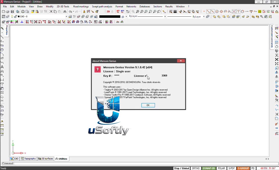
Mensura Genius v9.1 – Complete BIM-Oriented Design Platform for Infrastructure and Civil Engineering Projects
Mensura Genius is a specialized infrastructure design platform developed by Geomensura (a SOGELINK group company), tailored for the French and European civil engineering markets. The software integrates surveying, terrain modeling, road design, and utility network planning within a single BIM-oriented environment.
Version 9.1 is the latest iteration of the software, building upon a mature feature set that has been tested on Windows 10 64-bit systems. While the exact release date of this version is not specified in the available information, the software continues to be supported and used extensively by engineering firms and infrastructure contractors across Europe.
Primary Users
Mensura Genius v9.1 is designed for civil engineers, road designers, surveyors, and infrastructure planners who specialize in linear and urban development projects. It serves professionals who:
-
Design roads, highways, and railway lines with corridor modeling and cross-section analysis
-
Manage complex earthworks calculations for excavation and embankment projects
-
Design drainage and utility networks for urban and infrastructure development
-
Process topographic survey data and create digital terrain models (DTM) from point clouds
-
Deliver BIM-compliant infrastructure projects with integrated 3D modeling and documentation
Key Features & Capabilities
3D Infrastructure Modeling
-
Terrain and Surface Modeling: Creates digital terrain models (DTM) from survey data and point clouds, with contour generation and topographic analysis
-
Corridor and Road Design: Designs horizontal alignments, vertical profiles, and cross-sections for roads, railways, and other linear projects
-
3D Visualization: Provides realistic 3D rendering with multi-MNT (terrain and project) control and landscape rendering
Earthworks and Volume Calculations
-
Cut/Fill Analysis: Precise volume calculations for excavation and embankment management
-
Surface Comparison: Analyzes differences between existing terrain and project surfaces
Utility and Drainage Networks
-
Drainage System Design: Models and designs surface water collection and drainage networks
-
Utility Network Management: Supports water, electricity, and telecommunications network modeling
Data Interoperability
-
CAD and GIS Integration: Imports and exports data in DWG, DXF, Shapefile, and LandXML formats
-
Point Cloud Processing: Processes laser scanning and LiDAR data for terrain reconstruction
Documentation and Reporting
-
Automatic Plan Production: Generates executive drawings, profiles, and cross-sections automatically
-
Quantity Takeoffs: Calculates material quantities and trench volumes for project estimation
-
Google Earth Plugin: Visualizes projects directly in Google Earth





Reviews
There are no reviews yet.