

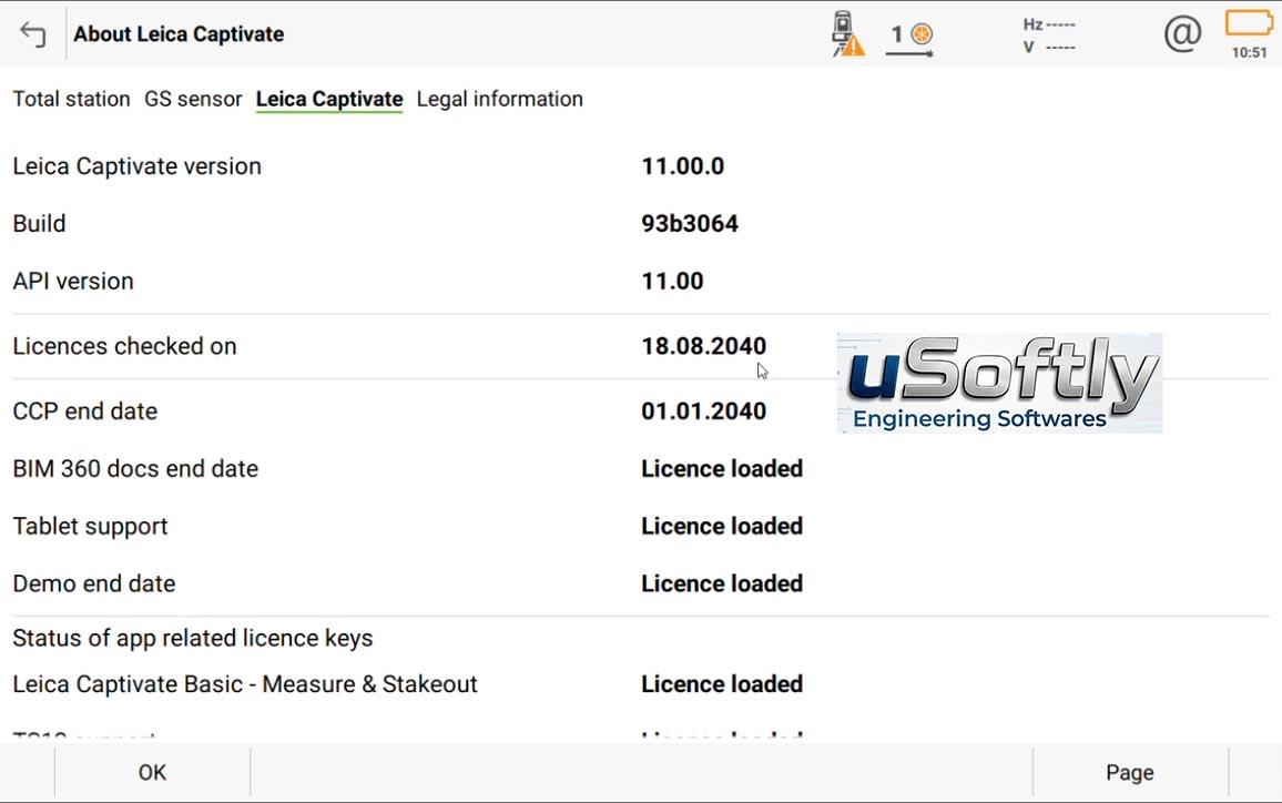
Leica Captivate 2026 v11.00 – Field Software for Total Stations, GNSS, and MultiStation Surveying
Leica Captivate is a professional field software platform that integrates general surveying tasks, data capture, 3D data management, and visualization in a single environment . It is designed for surveyors working with GNSS sensors, total stations, and MultiStation instruments .
Version 11.00 is the latest release of Leica Captivate, delivering enhancements in performance, connectivity, and productivity across surveying workflows.
Primary Users
Leica Captivate 2026 v11.00 is designed for land surveyors, construction layout professionals, and geospatial engineers who need to collect, process, and visualize field data with high precision. It serves professionals who use:
-
Total stations (e.g., Leica Viva, Nova, TS20)
-
GNSS receivers (e.g., GS18, GS16, GS05)
-
MultiStation instruments (e.g., Nova MS60)
-
Field controllers (e.g., CS20, CS30, CS35)
Key Features & Capabilities
Intuitive Interface
Captivate provides a touch-based, app-driven interface that allows users to capture and manage complex data with a simple finger swipe . It transforms measured points into realistic 3D models, supporting both 2D and 3D data visualization .
Core Surveying Applications
-
Measure & Stakeout: Core functionality for measurement and staking workflows
-
DTM Stakeout: Stake out directly from digital terrain models
-
Robotic Support: Seamless integration with robotic total stations
-
GNSS Support: Full compatibility with Leica GNSS sensors
Data Management
-
GeoCloud Drive Integration: Direct upload of jobs and exported files to the cloud, enabling efficient field-to-office connectivity
-
CAD Reference File Handling: Extended snapping tools for CAD and IFC reference files
-
Industry-Standard Format Support: Works with common surveying and construction data formats
Integrated Ecosystem
Captivate works in conjunction with Leica Infinity for office data processing. Together, they create a seamless workflow from field capture to office processing, improving data integration and reducing project errors .
New Features in v11.00
-
Panoramic Image Capture: Capture and manage panoramic images in the field
-
ATR, PowerSearch, and Connectivity Improvements: Enhanced robustness for TS20 users
-
AP20 Remote Video Streaming: Real-time video streaming when an AP20 is connected
-
Integrated eSIM Management: Simplified connectivity management
-
Rail and Tunnel Enhancements: Improved auto-staking of tunnel face, drilling rig orientation, and dynamic compensation
-
GS05 UHF Communication Support: Extended GNSS sensor connectivity
-
Simplified Hexagon GeoCloud Authentication: Easier access to cloud services
-
Stronger Pairing Security: Enhanced device pairing security




Reviews
There are no reviews yet.