

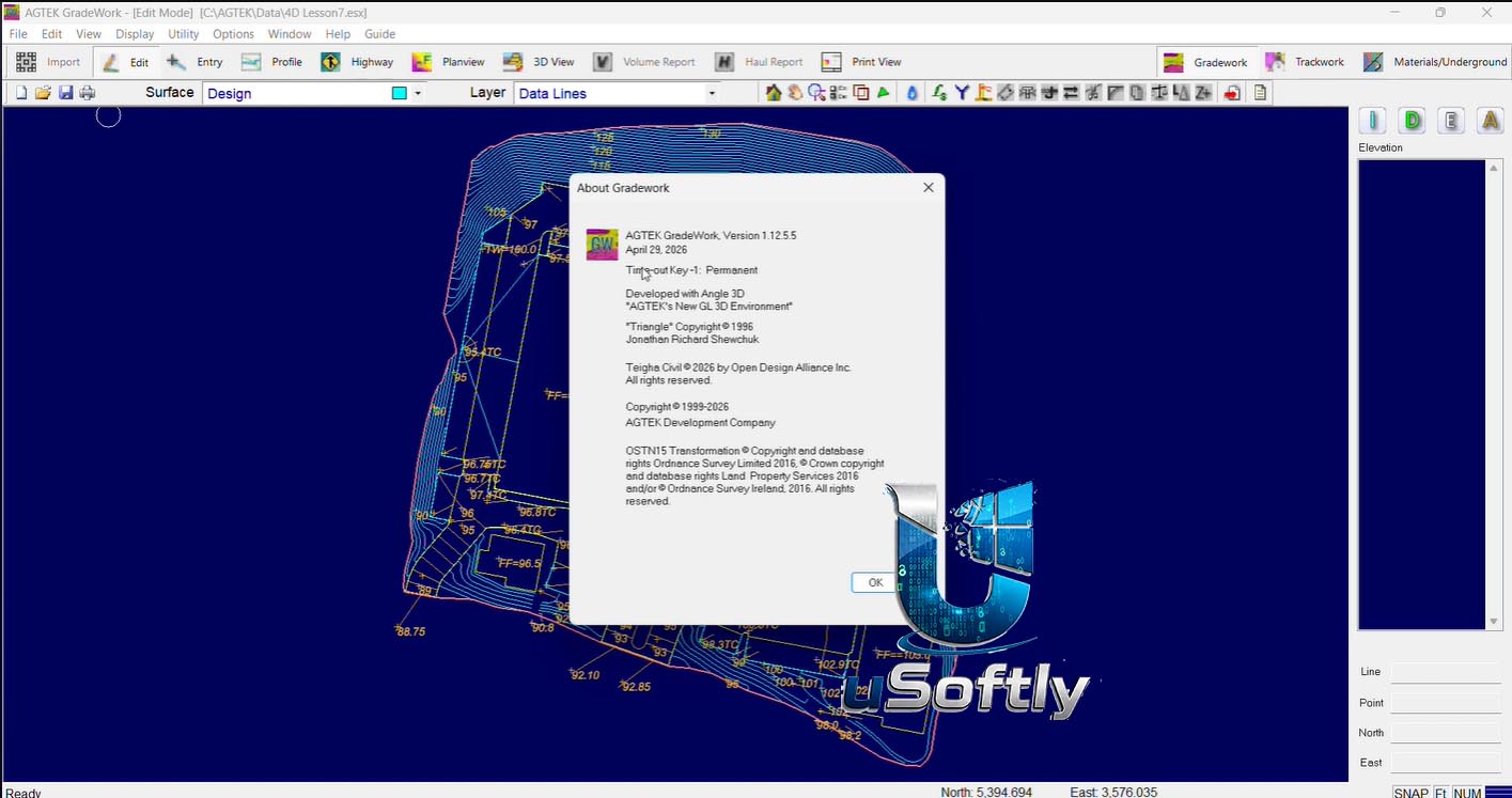
AGTEK Gradework 4D 2026 v1.12.5.6 – Complete Earthwork Takeoff and Construction Modeling Solution
AGTEK Gradework4D 2026 v1.12.5.6 is a comprehensive takeoff and modeling solution that streamlines the construction lifecycle from bidding through completion . The software analyzes data from PDF, CAD, or manual entry to create accurate bids and manage sites efficiently .
The “4D” capability adds a time dimension, allowing users to monitor construction progress over time, ensuring work proceeds according to schedule . The software creates a digital representation of the site including existing ground surface, proposed changes, and strata layers beneath the surface .
Version 1.12 introduced several powerful enhancements, including the new ESX file format (replacing ESW and ESZ formats) and improved features for PDF management, slope maps, and phased reporting.
Primary Users
AGTEK Gradework4D is designed for civil engineers, construction estimators, project managers, and sitework contractors who need accurate earthwork calculations and project modeling. It serves professionals who:
-
Perform earthwork takeoff and bidding for site development, road, and infrastructure projects
-
Create 3D site models from PDF, CAD, or survey data for accurate volume calculations
-
Analyze strata layers and underground conditions for trench and excavation planning
-
Generate machine control models for GPS-guided excavation equipment
-
Process drone imagery and point clouds to track earthwork progress and document as-built conditions
Key Features & Capabilities
Takeoff and Modeling
-
Multi-Format Data Import: Analyze data from PDF plans, CAD files, or manual survey entry
-
3D Site Modeling: Create digital terrain models of existing ground, proposed design, and subsurface strata
-
Volume Calculations: Precise earthwork cut/fill calculations with strata material breakdown
-
Automatic Perimeter Shrink Wrap: Efficient boundary creation for takeoff regions
Advanced Analysis
-
Strata Volume Calculation: Define and calculate volumes for different soil and rock layers beneath the site
-
Slope Mapping: Display terrain slopes with color coding based on slope ranges
-
Phased Reporting: Organize project steps and create graphical outputs by phase
-
Clash Detection: Detect conflicts between utilities and other underground elements
Field-Ready Outputs
-
Machine Control Model Export: Generate models for GPS-guided dozers, excavators, and graders
-
KMZ Export: Visualize projects in Google Earth and other GIS tools
-
IFC Compatibility: Export surfaces and pipe networks for VDC/BIM workflows
Drone and Point Cloud Integration
-
Large Point Cloud Processing: Leverage drone data for original ground verification
-
Progress Tracking: Monitor earthwork progress using repeat drone surveys
-
As-Built Documentation: Document conditions for asphalt, paving, and pipe
Integrated Workflows
-
Materials Module Integration: Automatic sectional area creation with phased reporting
-
Underground Utility Analysis: Calculate trench volumes with strata combinations
What’s New in AGTEK Gradework4D 2026
New ESX File Format
-
Modernized File Format: Gradework now saves files in the new ESX format, replacing ESW and ESZ formats
-
Customizable Save Options: Includes related PDF/TIF images in saved files
-
Compatibility Note: Not compatible with older versions of Gradework and Earthwork 4D
Enhanced Usability
-
Default Fill Factor: Set a default fill factor for report regions
-
Improved Print Quality: Enhanced background image quality for printing
-
KMZ Export Accessibility: Available in all Gradework modes
-
International Feet Option: Consistent units when exporting to CAD or machine control models






Reviews
There are no reviews yet.