
Download Carlson SurvPC – Advanced Surveying Software
Carlson SurvPC is a powerful surveying software developed by Carlson Software, designed to meet the needs of professionals in surveying and civil engineering. This application enhances data collection and processing capabilities, integrating advanced functionalities directly into field operations. Its compatibility with common hardware and seamless connection with GIS platforms make it a valuable tool for modern surveying projects.
Overview of Carlson SurvPC
Introduction to the Software
Carlson SurvPC provides robust tools for surveyors and civil engineers, enabling efficient data acquisition and management in the field. This software aims to streamline complex surveying tasks by offering an intuitive interface that works with various data collectors and hardware. It is designed for users who require advanced functionality without compromising ease of use, making it a crucial asset for accurate land measurement and analysis.
Key Functionalities for Surveying
Data Collection and Processing Tools
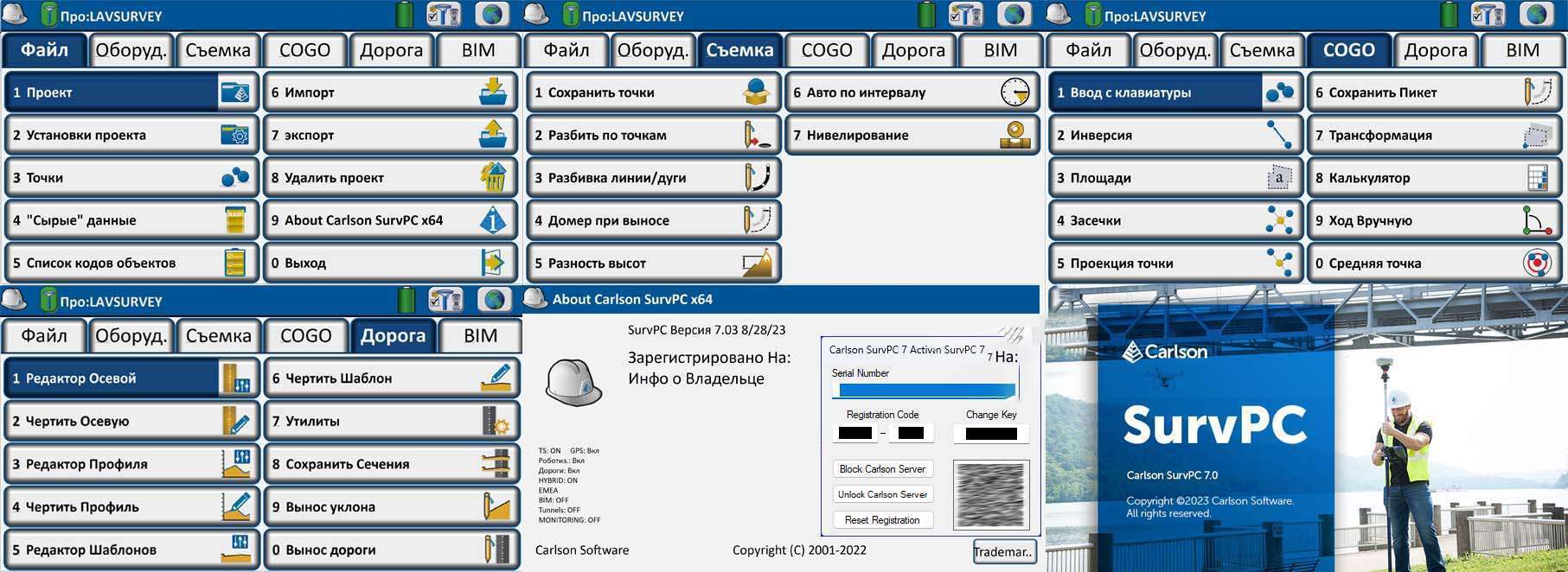
Carlson SurvPC offers a comprehensive suite of tools engineered for efficient field data collection and subsequent processing. These functionalities are central to ensuring accuracy and productivity in surveying operations. Users can leverage these tools to manage various surveying workflows directly from their field devices.
- Advanced data collection capabilities for topological surveys and construction layout.
- Real-time coordinate geometry (COGO) calculations for immediate verification of survey points.
- Stakeout routines designed for precision in setting out points and lines in the field.
- Management of traverse, network adjustments, and other surveying computations.
Integration with Esri ArcGIS
A significant advantage of Carlson SurvPC is its deep integration with Esri’s ArcGIS platform. This capability allows users to bridge the gap between field surveying and Geographic Information System (GIS) management, providing a unified environment for data. Professionals can harness the power of both systems without the need to switch between different applications.
- Direct access to ArcGIS functionalities within the Carlson SurvPC interface for seamless GIS operations.
- Enhanced data manipulation for mapping, staking, and querying GIS features directly from the field.
- Improved workflows for GIS professionals who also perform surveying tasks.
Hardware and Software Compatibility
Carlson SurvPC is designed for broad compatibility, ensuring that it can be integrated into existing user workflows and hardware setups. This adaptability is crucial for professionals working with diverse equipment and platforms.
- Compatibility with a wide range of total stations, GPS/GNSS receivers, and data collectors.
- Operation on standard Windows PCs, allowing for larger screen views and increased processing power compared to handheld devices.
- Flexibility to use the software with preferred hardware configurations.
File Format Support
The software supports a variety of industry-standard file formats, facilitating interoperability and data exchange between Carlson SurvPC and other engineering and design software. This broad support ensures that project data can be easily managed and shared across different platforms and project phases.
- Import and export capabilities for common CAD and GIS file formats, including .dwg, .dgn, and geodatabases.
- Support for raw data files from various survey instruments.
- Compatibility with text-based data formats for easy data transfer.
Real-World Application Scenarios
Carlson SurvPC is utilized in numerous professional surveying and civil engineering contexts. Its robust features and integration capabilities make it suitable for complex projects requiring high accuracy and efficient data management.
- In civil engineering, it is used for site planning, construction layout, and progress monitoring, ensuring that infrastructure projects adhere to design specifications.
- Surveyors employ Carlson SurvPC for boundary surveys, topographic mapping, and land development projects, providing precise geodetic data.
- GIS professionals leverage its integration features for updating and managing spatial data in the field, enhancing the accuracy and utility of GIS databases.
Comparison with Competing Surveying Software
Carlson SurvPC distinguishes itself in the surveying software market through several key features, particularly its integrated GIS capabilities. While other software may offer specialized tools, SurvPC provides a balanced approach suitable for a wide range of tasks.
- Its primary differentiator is the seamless integration with Esri ArcGIS, allowing users to perform GIS operations directly in the field, a feature less common in competing surveying software.
- The software supports a broad spectrum of hardware from various manufacturers, offering greater flexibility than some competitors tied to specific equipment brands.
- Carlson SurvPC offers a user-friendly interface that appeals to both experienced surveyors and new users, simplifying complex data collection and processing tasks.
Conclusion and Getting Started with Carlson SurvPC
Carlson SurvPC stands out as a versatile and powerful surveying software, offering advanced data collection and processing tools alongside exceptional GIS integration. Its compatibility with standard hardware and support for industry-standard file formats make it an ideal choice for professionals in surveying and civil engineering. By leveraging Carlson SurvPC, users can enhance accuracy, improve efficiency, and streamline their field operations.
Frequently Asked Questions
What specific surveying tasks can Carlson SurvPC handle?
Carlson SurvPC is designed for a wide array of surveying tasks, including field data collection, coordinate geometry (COGO) calculations, and seamless integration with GIS operations. It empowers users to accomplish complex tasks with enhanced accuracy and efficiency through its comprehensive toolset.
How does Carlson SurvPC integrate with Esri ArcGIS?
Carlson SurvPC enables users to leverage Esri’s ArcGIS functionality directly within its own familiar interface. This integration facilitates streamlined data manipulation for critical tasks such as staking, mapping, and querying GIS features, bridging field surveying with robust GIS management.
Can Carlson SurvPC be used on standard Windows PCs?
Yes, Carlson SurvPC is fully compatible with standard Windows PCs. This ensures users can benefit from larger screen displays and greater processing capabilities, offering a more powerful and versatile surveying experience than traditional dedicated field devices.


Reviews
There are no reviews yet.