

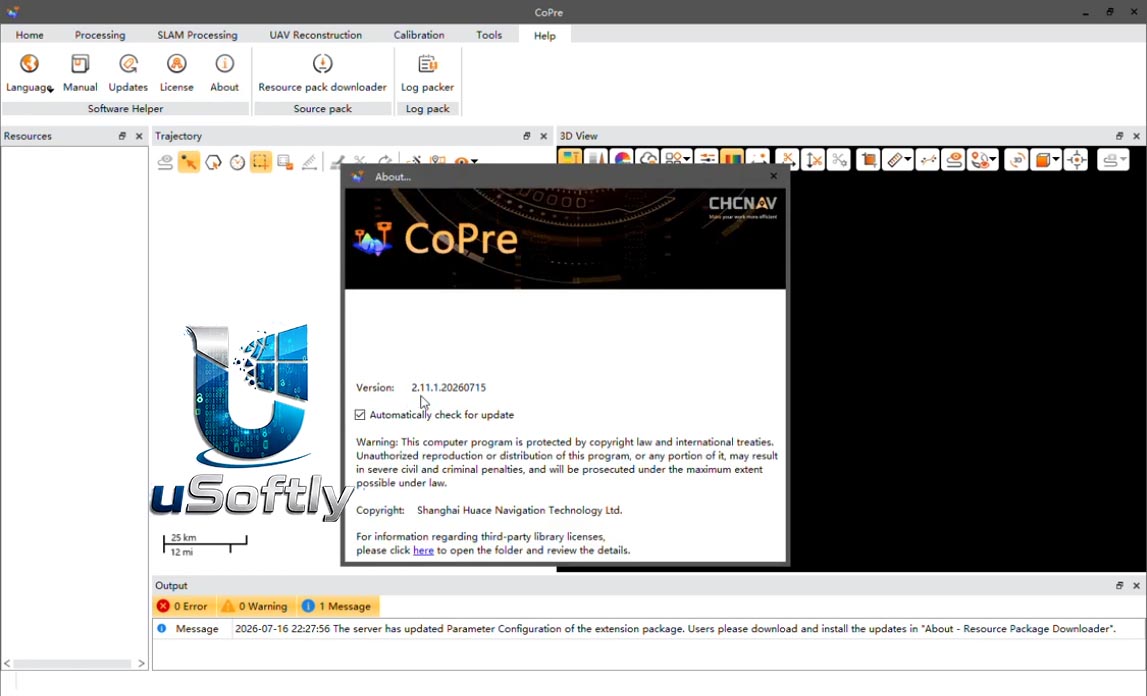
CHCNAV CoPre v2.11.1 – Comprehensive LiDAR and Geospatial Data Processing Software
CoPre is a powerful software ecosystem developed by CHCNAV that enables users to quickly and efficiently process mobile geospatial mapping data . The software features accurate trajectory processing through a proprietary algorithm, point cloud and image georeferencing, point cloud colorization, filtering, and advanced reconstruction capabilities including Digital Ortho Model (DOM) generation .
Built around a simple and intuitive user interface, CoPre allows geospatial professionals to export point clouds and image files without relying on additional software for positioning and orientation calculations . The software supports all CHCNAV LiDAR systems and is periodically updated to incorporate new functionalities and tools.
Primary Users
CHCNAV CoPre v2.11.1 is designed for geospatial professionals, surveyors, UAV operators, and mapping specialists who require efficient and accurate processing of mobile LiDAR and imaging data. It serves professionals who:
-
Process trajectory, LiDAR, and RGB image data from airborne, vehicle-mounted, and UAV-based systems
-
Generate georeferenced point clouds and Digital Ortho Models (DOM) for mapping and survey applications
-
Perform quality control and calibration on large geospatial datasets using advanced strip adjustment algorithms
-
Work with CHCNAV LiDAR systems including AlphaAir, AlphaUni, and AlphaPano series
-
Streamline post-processing workflows from raw data to final deliverables using automated tools
Key Features & Capabilities
Comprehensive Pre-Processing
CoPre processes trajectory files, LiDAR data, and RGB images efficiently using a proprietary algorithm for accurate trajectory generation, supporting multiple data sets simultaneously to increase workflow efficiency .
Advanced Calibration and Optimization
The software enhances data quality through advanced calibration technologies, reducing point cloud thickness by 30% compared to similar products . It uses efficient strip adjustment algorithms and ground control points (GCP) for improved absolute accuracy .
Efficient Data Visualization
Visualize and colorize massive datasets with powerful options. CoPre’s automatic trajectory slicing and stratification checking quickly detect misalignments, while elevation accuracy is verified using imported control points .
Automated Processing Workflow
Streamline data processing with automated point cloud processing, image georeferencing, point cloud colorization, depth maps, and result output in a user-friendly interface .
Advanced Reconstruction Module
Generate high-quality Digital Ortho Models (DOM) and 3D models. CoPre supports aerial triangulation and combines photos and point clouds to export orthophotos or 3D models quickly .
GNSS Processing Support
Includes static, fast static, PPK, and PPP GNSS processing capabilities .
What’s New in CoPre v2.11.1
While specific release notes for v2.11.0 are not detailed in the provided search results, the software is described as the “latest iteration” of the CoPre ecosystem . Recent developments focus on:
Optimized Ecosystem
The software has evolved to optimize the capabilities of CHCNAV’s 3D reality capture technologies, with automated workflows and enhanced quality assurance checks .
Improved Automation
The latest version continues to streamline complex LiDAR data operations into a single, user-friendly platform, maximizing the potential of 3D scanning and imaging workflows .
Ongoing Updates
CoPre is updated periodically to incorporate new functionalities and tools, ensuring users have access to the best solutions for geospatial projects .


Reviews
There are no reviews yet.