
Download CSIRO Core Profiler 2.2 – Advanced Geological Analysis Software
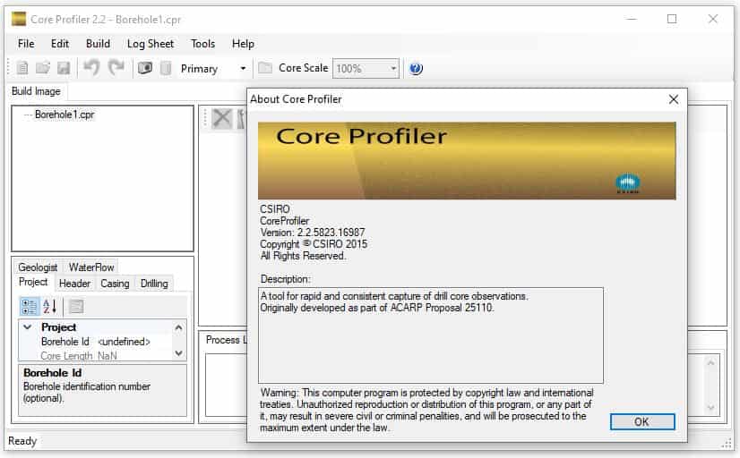
Developed by CSIRO, the Commonwealth Scientific and Industrial Research Organisation, the CSIRO Core Profiler 2.2 is a specialized geological software designed for the comprehensive analysis and characterization of geological drill cores. This tool is pivotal for professionals in the mining and geosciences sectors, offering advanced features that enhance the interpretation of geophysical data through standardized geological observations.
Introduction to CSIRO Core Profiler
Overview of Geological Software
In the fields of mining and geosciences, accurate geological characterization is fundamental for successful exploration and resource management. Geological software plays a critical role by providing sophisticated tools that streamline the complex processes of data acquisition, analysis, and interpretation. The CSIRO Core Profiler stands out as a tool specifically engineered to address inefficiencies in geological observations, ensuring a higher degree of consistency and precision in project workflows.
Functionality and Key Features
Depth-Calibrated Imaging
CSIRO Core Profiler offers advanced depth-calibrated imaging capabilities. This feature allows users to produce high-quality photographic records of drill cores that are precisely aligned with their depth measurements. This direct correlation between visual representation and geological depth is essential for accurate comparison with other observational data and for creating reliable geological logs.
Standardized Geological Observations
The software enhances the consistency of geological observations by providing a framework for standardized descriptions. This function helps to reduce subjectivity and variability that can occur when multiple geologists or technicians are involved in core logging. By implementing standardized templates and image referencing, the CSIRO Core Profiler ensures that geological characterization is uniform and dependable across different projects and teams.
Integration with Geophysical Data
A key capability of CSIRO Core Profiler is its ability to facilitate the integration of photographic records with broader geophysical data sets. This allows for a more holistic interpretation of subsurface conditions. By correlating visual evidence from drill cores with geophysical survey results, professionals can gain deeper insights into geological structures, stratigraphy, and potential resource deposits.
Use Cases in Mining and Exploration
The CSIRO Core Profiler finds significant application within the mining and exploration industries, particularly in the detailed characterization of mineral and coal deposits. Its capabilities are invaluable for:
- Geological logging and core description in exploration drilling programs.
- Geotechnical assessment of rock mass properties for engineering projects.
- Standardizing geological observations within large-scale mining operations to ensure data uniformity.
- Supporting the interpretation of seismic and other geophysical survey data by providing ground-truth from drill cores.
- Enhancing the geological characterization of coal seams for resource estimation and mine planning.
Comparative Analysis with Other Geological Tools
Compared to general-purpose geological mapping software or simpler logging tools, the CSIRO Core Profiler distinguishes itself through its specialized focus on drill core analysis. While other tools might offer broad geological data management, this software provides specific functionalities such as precise depth-calibrated imaging and direct integration of visual records with geophysical data. Its emphasis on standardizing observations further sets it apart as a tool aimed at improving inter-user consistency and the reliability of core interpretation, a critical factor in mining and geosciences.
Future Developments and Updates
CSIRO continuously works on enhancing its software offerings to meet the evolving demands of the geosciences community. Future developments for the Core Profiler are expected to focus on further refining its analytical capabilities, potentially incorporating advanced image processing techniques and expanding its compatibility with emerging geophysical data formats. These ongoing updates aim to solidify its position as a leading tool for detailed geological characterization and geophysical data integration.
Frequently Asked Questions
What types of geological data can be analyzed using CSIRO Core Profiler?
CSIRO Core Profiler enables users to analyze geological observations obtained from drill cores and chips, integrating them with geophysical data for enhanced interpretation. It supports standardized descriptions and photographic imaging for deep insights into rock formations and mineral composition.
How does CSIRO Core Profiler improve geological consistency?
The software improves geological consistency by providing comprehensive reference image collections and facilitating standardized observations across different users and sites. This ensures accuracy and reliability in geological assessments by minimizing subjective variability in core logging.
Can CSIRO Core Profiler integrate with other geological tools?
Yes, CSIRO Core Profiler is designed to integrate effectively with other geological and geophysical tools, allowing for a more comprehensive analysis of geological data. This interoperability between different software solutions enhances overall data processing and application in complex exploration projects.


Reviews
There are no reviews yet.