

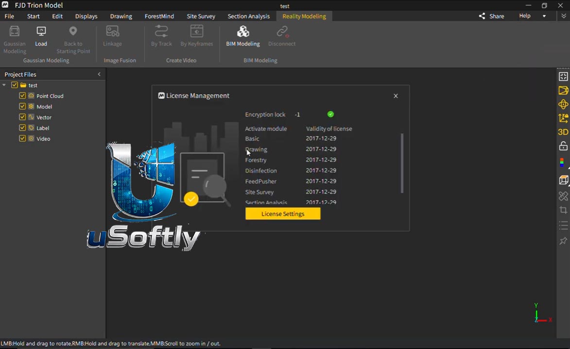
FJD Trion Model 2026 – Complete Point Cloud Processing Software for FJD Trion LiDAR Scanners
FJD Trion Model is a comprehensive point cloud processing application developed by FJDynamics to handle the data generated by the company’s Trion series of 3D LiDAR scanners . The 2026 version represents the latest evolution of this software, designed to streamline the entire post-processing workflow from raw scan data to final 3D models .
The software is part of the FJD Trion ecosystem, working alongside the Trion Scan mobile app for data collection and the Trion Model iPad app for mobile visualization . Trion Model offers a full suite of processing capabilities, including automatic point cloud alignment, tilt correction, classification, and export to multiple formats . The software is particularly effective when paired with devices like the Trion P2 handheld SLAM scanner, which captures up to 640,000 points per second with centimeter-level accuracy .
The 2026 version features a modular architecture with specialized modules for different workflows, including Professional, Drafting, Forest, and Field Survey editions.
Primary Users
FJD Trion Model 2026 is designed for surveyors, civil engineers, BIM coordinators, 3D scanning professionals, and forestry specialists who need to process, analyze, and convert 3D point cloud data from FJD Trion LiDAR scanners. It serves professionals who:
-
Process SLAM-based point cloud data from handheld and drone-mounted LiDAR scanners
-
Generate accurate 3D models, floor plans, and CAD drawings from field-collected data
-
Perform volume calculations for excavation, stockpile management, and planning
-
Extract vector contours and profiles for GIS and urban planning applications
-
Classify point cloud features such as buildings, vegetation, and terrain
Key Features & Capabilities
Essential Processing Tools
-
One-Click Tilt Correction: Automatically corrects point cloud tilt with a single click
-
Profile Analysis: Measure and display multiple cross-sections to assess point cloud data quality
-
Volume Calculation: Compute stockpile volumes and contained material volumes
-
Automatic Classification: Automatically classify point cloud data related to buildings, trees, and geological features for urban planning, forestry, and mineral exploration
Data Export and Conversion
-
Vector Contour Extraction: Extract vector contour lines from point cloud data with one click
-
Multiple Export Formats: Supports LAS, PLY, DXF, CSV, E57, and other standard point cloud formats
-
Vector Output: Extract features in vector format for GIS and CAD applications
Advanced Processing with HyperDense+
-
HyperDense+ Feature: Delivers 5-7x denser point clouds, providing better colorization and overall quality
-
Real-Time True-Color Point Clouds: Combines LiDAR data with RGB camera input for colorized point clouds
Modular Editions
FJD Trion Model offers multiple modules to suit different professional needs :
| Module | Primary Use Case |
|---|---|
| Base | Manage and visualize point clouds, create 3D models, perform general analysis |
| Professional | Advanced features: mesh extraction, multi-scan alignment, automatic classification |
| Drafting | Create floor plans, sections, and technical drawings directly from measurement data |
| Forest | Environmental and forestry analysis: tree height, position, canopy, and vegetation density |
| Field Survey | Complex surveys for roads, accident reconstruction, and forensic applications |
Mobile Companion App
-
FJD Trion Model iOS App: Available for iPad with iPadOS 15.0+ for on-the-go point cloud management, multi-mode rendering, and basic measurement
-
Size: 511.7 MB
-
Languages: English, Simplified Chinese, Traditional Chinese, Japanese
What’s New in FJD Trion Model 2026
While specific changelog details for the 2026 version are not provided in the search results, the latest version continues to build upon the established feature set with ongoing improvements:
Enhanced Integration with Hardware
-
Trion P2 Support: Optimized to handle data from the next-generation ultra-lightweight handheld SLAM scanner, which features 360° x 270° field of view and up to 80m scanning range
-
Increased Point Density: Leverages the HyperDense+ feature to produce 5-7x denser clouds for improved quality
Modular Expansion
-
Specialized Workflows: Continued refinement of modular editions to support specific professional use cases, including forestry, drafting, and field survey applications
2026 Ecosystem Integration
-
Improved Colorization: New support for image capture settings when using V4e LiDAR with Android smartphones, enabling point cloud colorization during post-processing





Reviews
There are no reviews yet.