

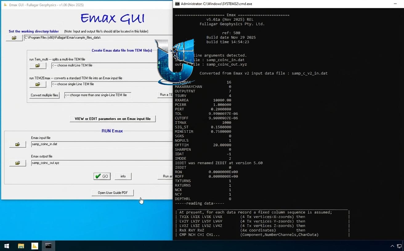
Fullagar Geophysics Emax 5.61a: Airborne & Ground EM Conductivity-Depth Imaging Software
Fullagar Geophysics Emax 5.61a is a specialized software program designed to rapidly transform ground and airborne transient electromagnetic time decays into conductivity-depth pseudo-sections. The program is used to create 2D images of subsurface electrical conductivity from EM data, providing a quick and effective way to visualize geological structures. It is part of the suite of geophysical interpretation tools developed by Fullagar Geophysics and can be run as a stand-alone application or integrated with the broader Maxwell geophysical interpretation software platform, enabling a streamlined workflow from data processing to geological interpretation.
👥 Primary Users
This specialized geophysical software is designed for:
-
Exploration Geophysicists processing and interpreting airborne and ground electromagnetic (EM) data.
-
Geological Survey & Mining Professionals imaging subsurface conductivity structures for mineral exploration.
-
Environmental & Hydrogeological Consultants mapping groundwater and contamination plumes using EM methods.
-
Academic Researchers studying subsurface geology with electromagnetic techniques.
⚡ Key Features & Capabilities
-
Conductivity-Depth Imaging: Rapidly converts transient EM decays into 2D conductivity-depth pseudo-sections, which are essential for initial interpretation of subsurface geology.
-
Stand-Alone or Integrated Use: Can be run independently or directly through Maxwell software, offering flexibility for different workflows.
-
Versatile Data Handling: Supports both ground and airborne transient electromagnetic (TEM) data, making it suitable for a wide range of exploration projects.
-
Rapid Processing: Designed for quick data transformation, allowing interpreters to see results promptly after acquisition.






Reviews
There are no reviews yet.