
Download Geotic Apps – Quality Geological Software for Professionals
Geotic Apps is a specialized suite of geological software developed to support geologists and engineers in mining, geological surveying, and environmental sciences. This integrated application suite provides robust tools for data entry, geological modeling, and advanced visualization, aiming to enhance workflow efficiency and data accuracy for professionals in earth sciences. The software suite effectively addresses the need for comprehensive geological data management and interpretation.
Introduction to Geotic Apps
Geotic Apps represents a comprehensive solution for geological data management and analysis. The suite is designed to streamline complex geological workflows, from raw data input to sophisticated 3D modeling and final drawing production. By offering integrated applications such as GeoticLog, GeoticMine, GeoticSection, and GeoticCAD, Geotic Apps facilitates a seamless experience for geologists working on diverse projects, from exploration to mine planning.
GeoticLog: Streamlined Data Input and Management
User-Friendly Interface and Features
GeoticLog is engineered with a focus on intuitive data entry and robust management capabilities. Its user-friendly interface simplifies the process of logging geological information. The software incorporates user-defined dictionaries, ensuring that all data inputs adhere to a standardized format and minimizing errors, which is critical for maintaining data integrity in geological assessments.
Reporting and Data Security
This module allows for the generation of personalized reports tailored to specific project requirements. Beyond reporting, GeoticLog includes comprehensive user rights management features, ensuring secure access to sensitive geological data and maintaining an audit trail of all modifications. This level of control is essential for collaborative environments and project compliance.
GeoticMine: Advanced 3D Geological Modeling
Real-Time Modeling and Visualization
GeoticMine distinguishes itself with advanced 3D geological modeling capabilities, enabling real-time visualization of subsurface structures. Its unique integration with the Geotic database ensures that models are always up-to-date with the latest geological data. This real-time connectivity supports dynamic exploration and analysis workflows.
Drill Hole Planning and Historical Deviation Considerations
The software assists in detailed drill hole planning, a crucial aspect of geological surveying. It incorporates features to account for historical drill hole deviations, allowing for more accurate spatial representation of the subsurface. These advanced features directly benefit users engaged in intricate geological modeling and resource estimation.
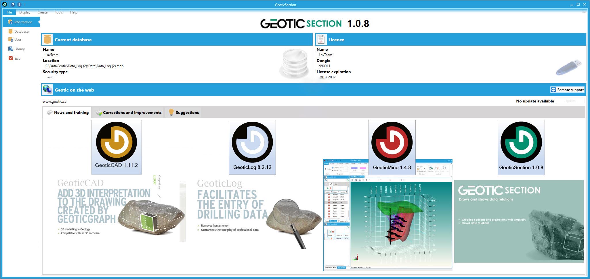
GeoticSection: Enhanced Visualization of Geological Profiles
GeoticSection provides improved methods for visualizing geological profiles and cross-sections. It integrates seamlessly with other Geotic applications, allowing for the direct import and display of geological data in various sectional views. This enhances the interpretation of geological formations and spatial relationships, supporting informed decision-making in exploration and mining projects.
GeoticCAD: Interpreting & Finishing Touches for Geological Drawings
Integrated Drawing Engine vs. Competitors
GeoticCAD functions as a powerful, standalone engine for creating and finalizing geological drawings. Unlike applications that rely heavily on external CAD software, GeoticCAD offers integrated drawing capabilities specifically optimized for geological datasets and formats, providing a more cohesive workflow for technical illustrations.
VDML File Format Advantages
The software leverages Geotic’s proprietary VDML file format, which is specifically designed for geological drawings. This format offers advantages in preserving specific geological data attributes and relationships within the drawing, ensuring accuracy and detail that might be lost in more generic graphic formats. This specialized format enhances the utility of geological visualizations.
Real-World Applications of Geotic Apps
Geotic Apps finds extensive application in practical geological challenges. In mining operations, it aids in ore body modeling and resource estimation, optimizing extraction strategies. For geological surveying, it supports the creation of detailed maps and cross-sections for subsurface exploration. Furthermore, its data management capabilities are utilized in environmental studies for site characterization and risk assessment, demonstrating the suite’s versatility across earth science disciplines.
Frequently Asked Questions
What is Geotic Apps used for?
Geotic Apps is a suite of geological software designed to aid geologists in data entry, geological modeling, and visualization. Its applications are beneficial in industries such as mining and environmental sciences, providing integrated tools for managing and interpreting geological data.
How does GeoticLog ensure data quality?
GeoticLog uses user-defined dictionaries for data validation during entry, which minimizes the need for corrections and enhances overall data quality, crucial for geological assessments. This feature ensures consistency and accuracy throughout the data logging process.
What are the main features of GeoticMine’s 3D modeling capabilities?
GeoticMine provides advanced 3D geological modeling features, including real-time connections to geo-referenced photographs and a variety of modeling procedures like Delaunay triangulation. It allows for sophisticated visualization and analysis of subsurface geological structures.


Reviews
There are no reviews yet.