

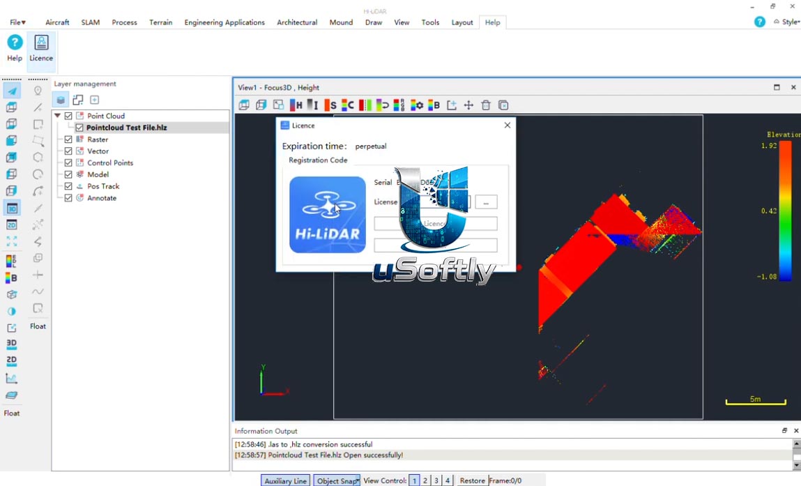
Hi‑LiDAR 2026 v2.1.0 – Streamlined SLAM Point Cloud Processing and Analysis Software
Hi‑LiDAR is the proprietary software developed by Hi‑Target for processing and managing point cloud data acquired with the company’s SLAM‑based LiDAR scanners, such as the LS1 Series. It is engineered to bridge the gap between field capture and deliverable production, enabling users to transform raw SLAM data into reliable engineering outputs.
The software is designed to handle demanding projects in complex real‑world environments, offering a streamlined workflow from data acquisition to final deliverables . Key processing steps include SLAM data alignment, point cloud accuracy enhancement, ground classification, and volume calculation.
Primary Users
Hi‑LiDAR is designed for surveyors, mapping professionals, civil engineers, mining specialists, and construction survey teams who need an efficient and reliable solution for processing, editing, and analyzing point cloud data from SLAM‑based LiDAR scanners. It serves professionals who:
-
Process SLAM data from field‑deployed devices (e.g., the LS1 Series) into accurate point clouds for mapping and engineering projects
-
Calculate volumes in enclosed or irregular spaces such as tunnels, silos, tanks, and pipelines
-
Classify terrain and ground features for surveying, construction, and mining applications
-
Visualise and interact with large point cloud datasets quickly and responsively
-
Edit and refine point cloud data with optimised selection and inspection tools
Key Features & Capabilities
Based on the latest updates to the software, Hi‑LiDAR offers a comprehensive set of tools for point cloud processing:
Volume and Spatial Analysis
-
Enclosed Space Volume Calculation: This feature, introduced in a recent major update, allows users to efficiently calculate volumes inside complex structures such as tunnels, silos, tanks, pipelines, and irregular chambers
Data Accuracy and Classification
-
Enhanced SLAM Accuracy: The software helps achieve more consistent and reliable point cloud results, which is critical for demanding mapping projects
-
Optimised Ground Classification: It improves the ability to extract and classify terrain from point cloud data, supporting surveying, construction, mining, and engineering workflows
Performance and Usability
-
Faster Visualisation and Responsiveness: Hi‑LiDAR offers improved rendering and a more responsive interface, even when working with large‑scale point cloud datasets
-
Quicker Point Selection: The software includes optimised point selection tools, making editing, inspecting, and analysing point clouds more efficient
Workflow and Ecosystem
-
SLAM Data Processing: The software is part of a broader ecosystem that includes portable engineering‑grade SLAM scanners (e.g., the LS1 Series), combining LiDAR, vision, RTK positioning, and advanced SLAM algorithms
-
Reliability and Stability: Regular updates include bug fixes and stability improvements to provide a more seamless processing experience
What’s New in Hi‑LiDAR v2.1.0
The search results do not contain specific release notes for Hi‑LiDAR v2.1.0. However, the latest publicly announced update is for a later version, V4.2.1, which was released in July 2026 . This indicates that Hi‑LiDAR is under active development and that the software version numbers may not follow a strictly sequential public release schedule.
Key new features from the V4.2.1 update, which may be relevant to understanding the software’s trajectory, include:
-
Enclosed Space Volume Calculation: A major new tool for calculating volumes in tunnels, silos, tanks, pipelines, and other irregular spaces
-
Enhanced SLAM Point Cloud Accuracy: Improvements in point cloud reliability for demanding projects
-
Optimised Ground Classification: Better terrain extraction and classification
-
Faster Visualisation and Performance: Improved rendering and responsiveness for large datasets
-
Quicker Point Selection: Optimised tools for editing and analysis






Reviews
There are no reviews yet.