
Download Jacobs Flood Modeller 7.2.9 – Professional Hydrodynamic Flood Simulation Software
Jacobs Flood Modeller 7.2.9 is a sophisticated hydrodynamic modeling suite developed by Jacobs Engineering Group Inc. This powerful software is designed for comprehensive flood simulation, integrating advanced 1D and 2D hydraulic modeling techniques to provide detailed flood risk assessments. It is an essential tool for professionals in hydrology, environmental engineering, urban planning, and water resources management, building upon the legacy of the former ISIS modeling platform.
Overview and Applications in Flood Risk Management
Jacobs Flood Modeller provides a robust platform for simulating complex hydrological phenomena, including riverine flooding, extensive floodplain inundation, and urban surface water dynamics. Its primary purpose is to enable accurate flood simulation for a wide range of applications. These include detailed flood risk assessments for regulatory compliance, the design and optimization of hydraulic structures and flood defenses, and the evaluation of climate change impacts on water systems. The software assists hydrologists and environmental engineers in understanding and mitigating flood hazards across diverse geographical and urban landscapes.
Integrated 1D and 2D Hydraulic Modeling Capabilities
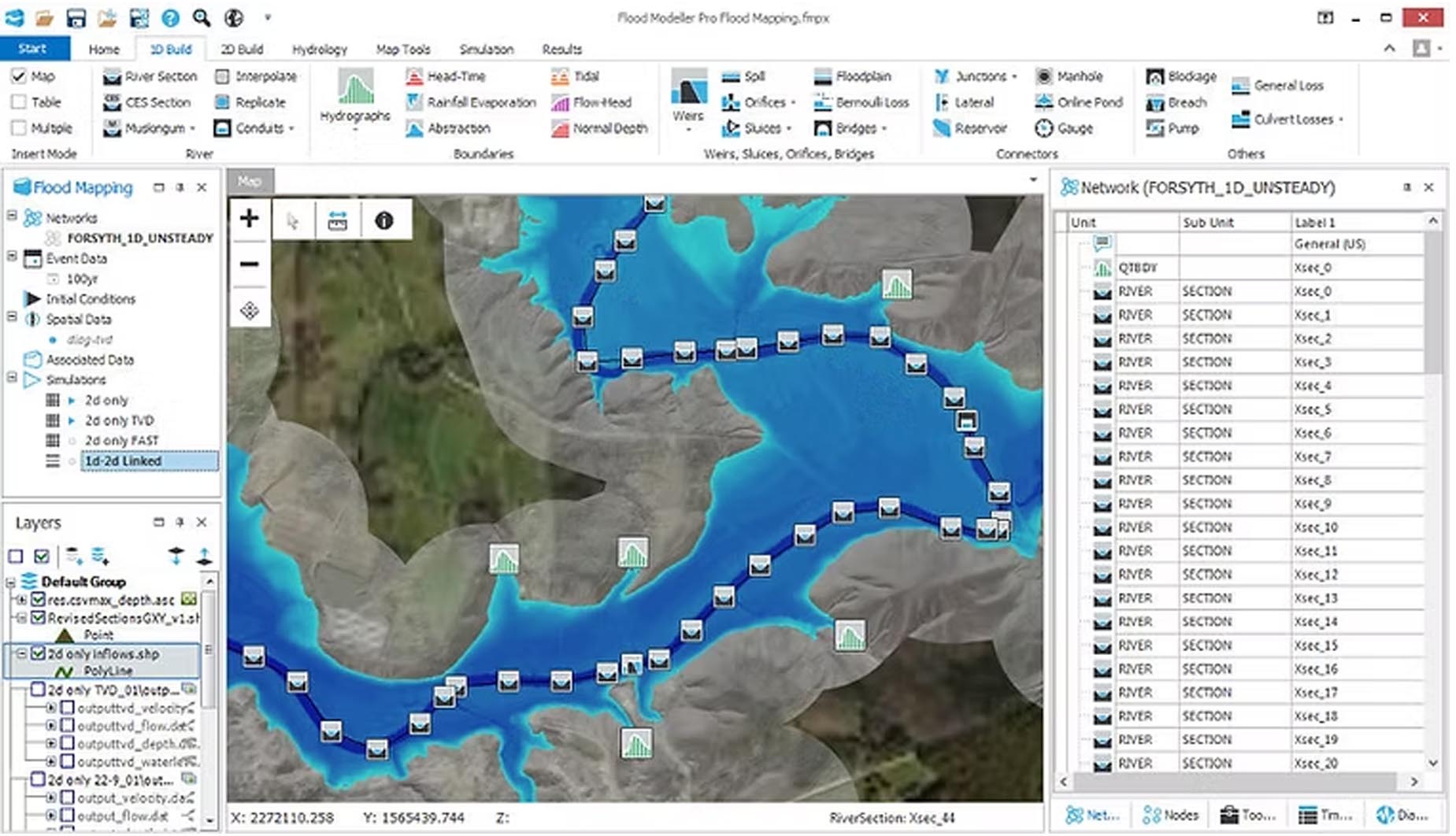
A core strength of Jacobs Flood Modeller lies in its seamless integration of one-dimensional (1D) and two-dimensional (2D) hydraulic modeling. The 1D component effectively simulates flow within defined channels, river networks, and piped drainage systems, while the 2D component excels at modeling overland flow across floodplains and urban terrains. By combining these approaches, the software offers more realistic and accurate predictions of flood extent, depth, and flow velocity across varied landscapes. This integrated capability is crucial for capturing complex interactions between channel flow and broad area inundation.
Specialized Tools for Urban Flooding and Drainage Systems
Jacobs Flood Modeller offers specialized features for addressing the challenges of urban flooding. It expertly models surface water runoff, including the behavior of water across impervious surfaces, green infrastructure, and sustainable urban drainage systems (SUDS). The software can simulate the interaction between urban surface water and underlying sewer networks, providing a holistic view of urban drainage. This functionality is particularly valuable for urban planners and environmental engineers working to design resilient and effective stormwater management solutions in built environments.
Visualizing Flood Risk with Advanced Mapping and Scenario Analysis
The software provides advanced tools for visualizing and analyzing flood risk. Users can generate detailed flood inundation maps, hazard maps indicating depth and velocity, and risk assessments. Jacobs Flood Modeller is also equipped to model various scenarios, such as the potential impacts of climate change on rainfall patterns and sea-level rise, as well as land-use changes. Furthermore, its capabilities extend to real-time flood forecasting, offering operational value for emergency management agencies and infrastructure operators.
Data Integration and Solver Enhancements in Version 7.2.9
Version 7.2.9 of Jacobs Flood Modeller incorporates significant enhancements, particularly with its integrated TUFLOW 2D solver, known for its high-performance simulation capabilities. This update focuses on improving solver stability and precision, especially for urban modeling scenarios. The software also features enhanced support for Geographic Information System (GIS) data, facilitating smoother integration with digital elevation models, LiDAR data, and other essential datasets critical for accurate flood modeling. These developments contribute to more efficient workflows and reliable simulation outcomes.
Industry Use Cases Demonstrating Jacobs Flood Modeller Applications
Jacobs Flood Modeller is employed across a range of critical engineering and environmental projects. Professionals utilize it for performing comprehensive flood risk assessments required for regulatory approvals and planning by government agencies. It is instrumental in the design of flood mitigation systems, such as levees and flood walls, and in developing strategies for urban flood resilience. Hydrologists and flood risk engineers also use the software to study the long-term impacts of climate change on water resources and to inform sustainable development strategies.
Frequently Asked Questions
What are the main advantages of using Jacobs Flood Modeller 7.2.9 for flood simulation?
Jacobs Flood Modeller 7.2.9 offers a comprehensive combination of 1D and 2D hydraulic modeling that enhances simulation accuracy for complex flood scenarios. Its support for urban drainage modeling, advanced mapping, and real-time forecasting makes it suitable for diverse environmental and engineering applications.
How does Jacobs Flood Modeller integrate with GIS and hydrological data sources?
The software supports robust GIS import and export functionality, including terrain datasets like LiDAR and DEM files. It also integrates with various hydrological models to ensure accurate spatial representation and scenario analysis in flood risk management projects.
What improvements were introduced in Jacobs Flood Modeller version 7.2.9?
Version 7.2.9 improved the TUFLOW 2D solver for faster and more stable simulations, refined urban modeling tools for better drainage representation, enhanced user interface workflows, and expanded data format compatibility to support modern geospatial standards.


Reviews
There are no reviews yet.