
Download Leica GEO Office 8.4.0 – Advanced Geospatial Data Processing Software for Surveying
Leica GEO Office 8.4.0 is a specialized geospatial data processing software developed by Leica Geosystems, a Hexagon company. Designed for land surveyors, civil engineers, and GIS professionals, this application serves as a comprehensive platform for managing and processing raw field data. It is particularly tailored for users who rely on Leica Geosystems’ surveying instruments, enabling efficient data workflows from acquisition to final deliverable, with a focus on precision and reliability in civil and construction projects.
Comprehensive Survey Data Management for Civil and Construction Projects
Leica GEO Office provides robust tools for managing data collected from various Leica surveying instruments, including total stations, GNSS receivers, and digital levels. The software facilitates the entire post-processing workflow, allowing users to download raw field measurements, organize them within a structured survey database, and prepare them for subsequent analysis and design. This comprehensive data management is crucial for professionals in civil engineering, land surveying, and construction, ensuring that project data is accurate, traceable, and readily available for downstream applications.
Advanced GNSS and Network Adjustment Processing Capabilities
This software excels in advanced GNSS data processing, supporting static, rapid-static, and kinematic survey methods. Leica GEO Office 8.4.0 features multi-constellation processing, integrating signals from GPS, GLONASS, Galileo, and BeiDou for enhanced accuracy and reliability, even in challenging signal environments. Beyond GNSS, it offers rigorous least squares adjustment algorithms for both traverse and leveling networks. These sophisticated geodetic computations provide robust solutions for network integrity, accompanied by detailed accuracy reports and residual statistics that are vital for validating survey results.
Survey Database Management and Automated Feature Coding
Effective data organization is a cornerstone of Leica GEO Office, featuring a comprehensive survey database management system. Users can efficiently manage survey points, along with their associated coordinates and metadata. The software supports user-defined code libraries, enabling automated feature coding. This capability, particularly when leveraging codes compatible with Leica System 1200 and GS18 instruments, allows for the automatic generation of linework and features directly from field observations. Such automation significantly streamlines the creation of digital terrain models and site plans, enhancing organization and integration with field survey practices.
Seamless Integration with CAD and GIS Platforms
Leica GEO Office 8.4.0 emphasizes interoperability, offering an extensive range of export options to facilitate seamless integration with various Computer-Aided Design (CAD) and Geographic Information System (GIS) platforms. Supported output formats include DWG and DXF for CAD applications, SHP for Esri GIS, and LandXML for broader civil engineering data exchange, alongside standard ASCII formats. The latest version includes enhanced direct CAD integration features, ensuring that layer structures and attribute data are preserved during export, which is critical for maintaining data integrity and usability in engineering design and mapping workflows.
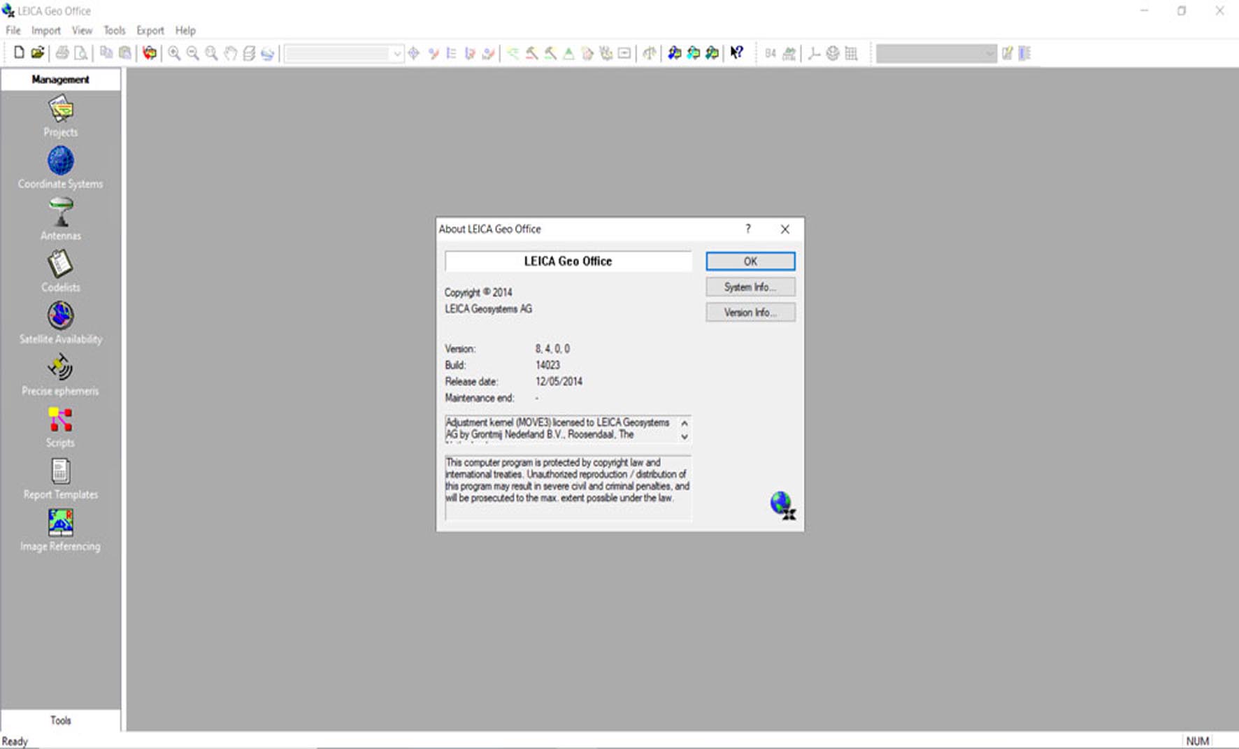
Enhanced User Interface and Performance Improvements in Version 8.4.0
Version 8.4.0 of Leica GEO Office introduces significant enhancements to user experience and processing performance. The software features a modernized, ribbon-based user interface that improves navigation and workflow efficiency, including a new dark mode option for reduced eye strain. Performance optimizations have been implemented, leading to faster processing speeds for large datasets and complex projects. Additionally, this version includes expanded import/export filters for broader data compatibility and an upgraded multi-GNSS processing engine designed for greater precision and speed.
Practical Applications and Industry Use Cases
Leica GEO Office finds extensive application across various professional surveying and engineering disciplines. It is instrumental in precise land boundary surveys, detailed topographic mapping, and the establishment of control networks for large infrastructure projects. Construction surveyors rely on its capabilities for site layout, monitoring deformation, and verifying as-built conditions against design plans. Furthermore, GIS professionals utilize the software to prepare accurate spatial data for mapping, analysis, and management. Across these applications, Leica GEO Office consistently supports high standards of accuracy, productivity, and data reliability essential for professional deliverables.
Frequently Asked Questions
What types of GNSS data does Leica GEO Office 8.4.0 support?
Leica GEO Office 8.4.0 supports static, rapid-static, and kinematic GNSS data processing. It also handles multi-constellation signals including GPS, GLONASS, Galileo, and BeiDou for improved accuracy in challenging environments.
Can Leica GEO Office export data to CAD software?
Yes, Leica GEO Office offers extensive export capabilities to widely used CAD formats like DWG and DXF. The latest version enhances direct integration with AutoCAD and MicroStation, ensuring smooth layer and attribute management.
What improvements does version 8.4.0 bring to Leica GEO Office?
Version 8.4.0 introduces enhanced multi-GNSS processing supporting newer constellations, a modernized ribbon-based user interface with dark mode, faster processing of large datasets, expanded data import/export filters, and improved interoperability with CAD software.


Reviews
There are no reviews yet.