
Download nanoCAD GeoniCS 2024 v24.1 – Advanced Geospatial CAD Software for Surveying and Mapping
nanoCAD GeoniCS 2024 v24.1 is a specialized surveying and geospatial CAD software developed by Nanosoft, built upon the nanoCAD platform. It is designed for professionals in surveying, geodesy, civil engineering, cartography, GIS, and topography, automating complex workflows from raw geodetic field data to comprehensive maps and reports.
Comprehensive Surveying and Geospatial Applications
nanoCAD GeoniCS plays a crucial role in modern geospatial workflows by providing a specialized environment for surveying, geodesy, and civil engineering tasks. It addresses the critical need to process raw field data collected from total stations, GNSS devices, and laser scanners, transforming it into actionable geospatial information for mapping and analysis.
Extensive Geodetic Data Import and Processing Tools
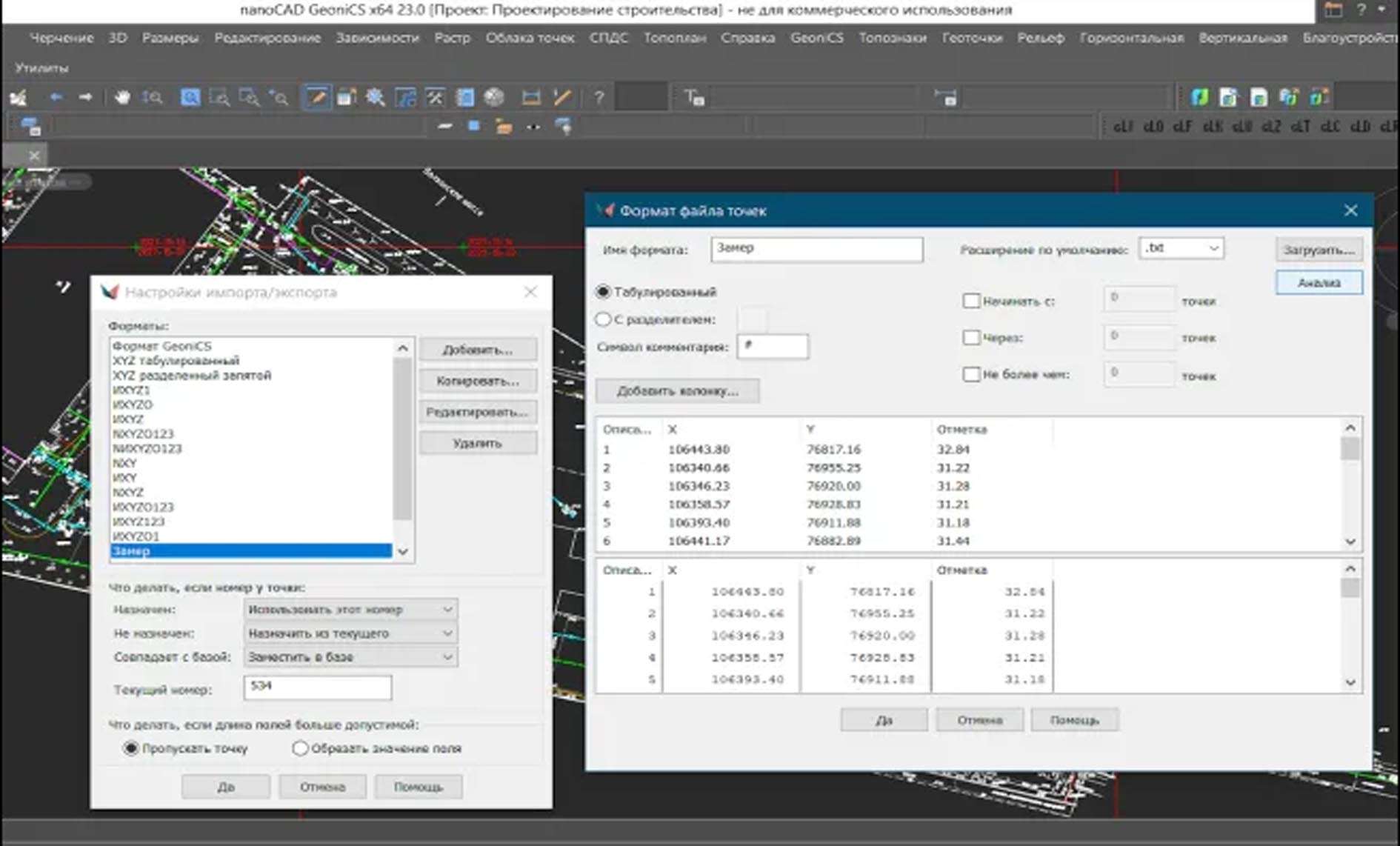
This geospatial CAD software supports the direct import of a wide array of geodetic data formats. Professionals can integrate field measurements from total stations, coordinates from GNSS receivers, and dense point cloud data from laser scanners. The software includes essential tools for precise coordinate transformations, robust traverse adjustments, and complex geodetic calculations, ensuring accuracy in all surveying operations.
Advanced Digital Terrain Modeling and Volume Calculations
nanoCAD GeoniCS features a powerful digital terrain modeling (DTM) engine capable of generating Triangulated Irregular Networks (TINs) from various data sources, including survey points, contour lines, and breaklines. This digital terrain modeling CAD tool enables comprehensive terrain analysis, automated contour map generation, and precise cut/fill volume estimations, which are vital for infrastructure design, earthworks planning, and construction management.
Automated Cartographic Map Creation and Cross-Section Generation
The software streamlines the creation of topographic maps through automated processes for symbol placement, annotation, and layer control, adhering to cartographic standards. It also offers advanced capabilities for generating cross-sectional profiles directly from DTMs, complete with detailed earthwork calculations. These features significantly support civil engineering design tasks by providing detailed visual and quantitative data for terrain alterations.
Parcels, Cadastre Management, and GIS Data Exchange
For land surveying professionals, nanoCAD GeoniCS provides dedicated tools for cadastral parcel management. Users can perform accurate area calculations and generate legal survey plans. Ensuring interoperability within complex project environments, the software supports the import and export of numerous standard formats, including SHP, DXF, DWG, and LandXML, facilitating seamless data exchange with GIS platforms and other engineering applications.
Performance Enhancements and Latest Features in Version 2024 v24.1
The 2024 v24.1 release of nanoCAD GeoniCS introduces several modernization efforts and performance improvements. Notable updates include a refreshed user interface with dark theme support, enhanced capabilities for processing and classifying large point cloud datasets, and expanded compatibility with a broader range of GNSS receivers. These optimizations contribute to a more efficient and user-friendly experience for geospatial engineers.
Practical Use Cases in Surveying and Civil Engineering Projects
In the field, nanoCAD GeoniCS is utilized for diverse applications, such as creating detailed topographic site maps for construction planning and managing earthworks calculations for road and utility projects. It is also instrumental in preparing accurate cadastral documentation for land registration and in integrating field data with existing geospatial databases, thereby streamlining project workflows for surveyors and civil engineers.
Frequently Asked Questions
How does nanoCAD GeoniCS support processing of GNSS and total station data?
nanoCAD GeoniCS enables direct import and advanced processing of data from a wide range of GNSS receivers and total stations. It provides tools for coordinate transformations, traverse adjustments, and network RTK/post-processing to ensure high precision in geodetic workflows.
What types of terrain models can I create with nanoCAD GeoniCS?
The software generates Triangulated Irregular Networks (TINs) from survey points, contour lines, and breaklines. It supports detailed terrain analysis, contour creation, and cut/fill volume calculations critical for construction and earthworks projects.
Can nanoCAD GeoniCS handle large point cloud datasets from LiDAR scans?
Yes, the 2024 v24.1 version includes enhanced tools for processing and classifying extensive LiDAR point clouds in LAS and LAZ formats, allowing users to extract terrain features and create 3D models efficiently within the software environment.


Reviews
There are no reviews yet.