

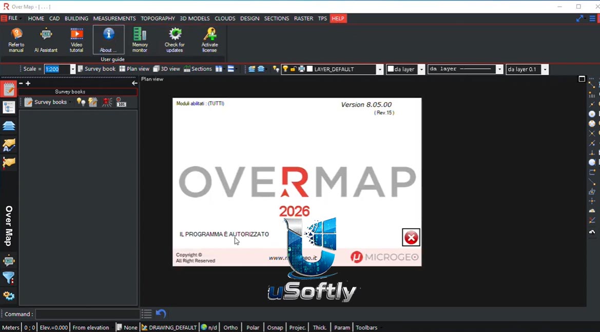
OverMap 2026 v8.05.00.15 – Professional 3D Geospatial Data Analysis and Visualization Software
OverMap is a comprehensive professional suite for spatial data processing that satisfies all office needs for technical studies, infrastructure companies, and surveyors . Its modular architecture allows for the processing of data from both traditional surveying instruments (GNSS and Total Stations) and digital surveying technologies such as Static Laser Scanners, SLAM-based scanners, and Mobile Mapping systems . The software grants users access to all its functions in a simple and intuitive manner, saving time in processing and optimizing the workflow.
Primary Users
OverMap 2026 v8.05.00.15 is designed for geospatial analysts, surveyors, civil engineers, urban planners, and GIS professionals who require advanced tools for processing and visualizing spatial data . It serves professionals who:
-
Process and analyze data from terrestrial and mobile mapping surveys
-
Manage cadastral projects and generate precise map updates
-
Create 3D terrain models and volumetric calculations from point cloud data
-
Visualize time zone boundaries and overlapping geographic locations for strategic planning
-
Streamline office workflows for spatial data elaboration
Key Features & Capabilities
Topography
-
Survey Data Import/Export: Support for files from total stations, GNSS, and digital levels
-
Survey Management: Handles total station, GNSS, and mixed surveys
-
Rigorous Adjustment: Provides compensation calculations for survey data
-
Code Management: Automatic generation of lines and areas from survey codes
-
Image Georeferencing: Georeference images for integration with spatial data
Cadastral Management
-
PREGE Import: Import files from the Pregeo cadastral system
-
Monograph Management: Manage fiducials and measurement data
-
Map Update Proposal: Generate Pregeo update proposals and model registry management
-
Parcel Management: Handle parcels and subdivision tasks with dedicated module for cadastral redefinition
Point Cloud Processing
-
Point Cloud Management: Georeference, merge, filter terrain, and decimate point clouds
-
Automatic Contour Creation: Generate boundaries automatically from point data
-
3D Data Visualization: Display with multiple color options and advanced drawing tools
-
Rectification and Editing: Modify point elevations, delete points, and use drawing tools on clouds
3D Modeling and Volumetrics
-
Terrain Modeling: Create Digital Elevation Models (DEM) and contour lines
-
Volume Calculations: Compute cut/fill volumes and project plane analysis
-
Profile Generation: Extract terrain profiles, sections, and longitudinal profiles
-
Project Design: Support for leveling and design surfaces
What’s New in OverMap 2026 v8.05.00.15
The 2026 version represents a significant evolution in the OverMap platform. While specific changelog details for v8.05.00.15 are not available in the provided search results, the software continues to build upon its established modular architecture, focusing on:
-
Enhanced Modularity: Continued refinement of the modular structure to support diverse workflows from traditional surveying to advanced digital mapping
-
Improved Workflow Efficiency: Optimized user interface and processing pipeline for faster data elaboration
-
Extended Format Support: Ongoing updates to support the latest surveying instrument formats and geospatial data standards


Reviews
There are no reviews yet.