

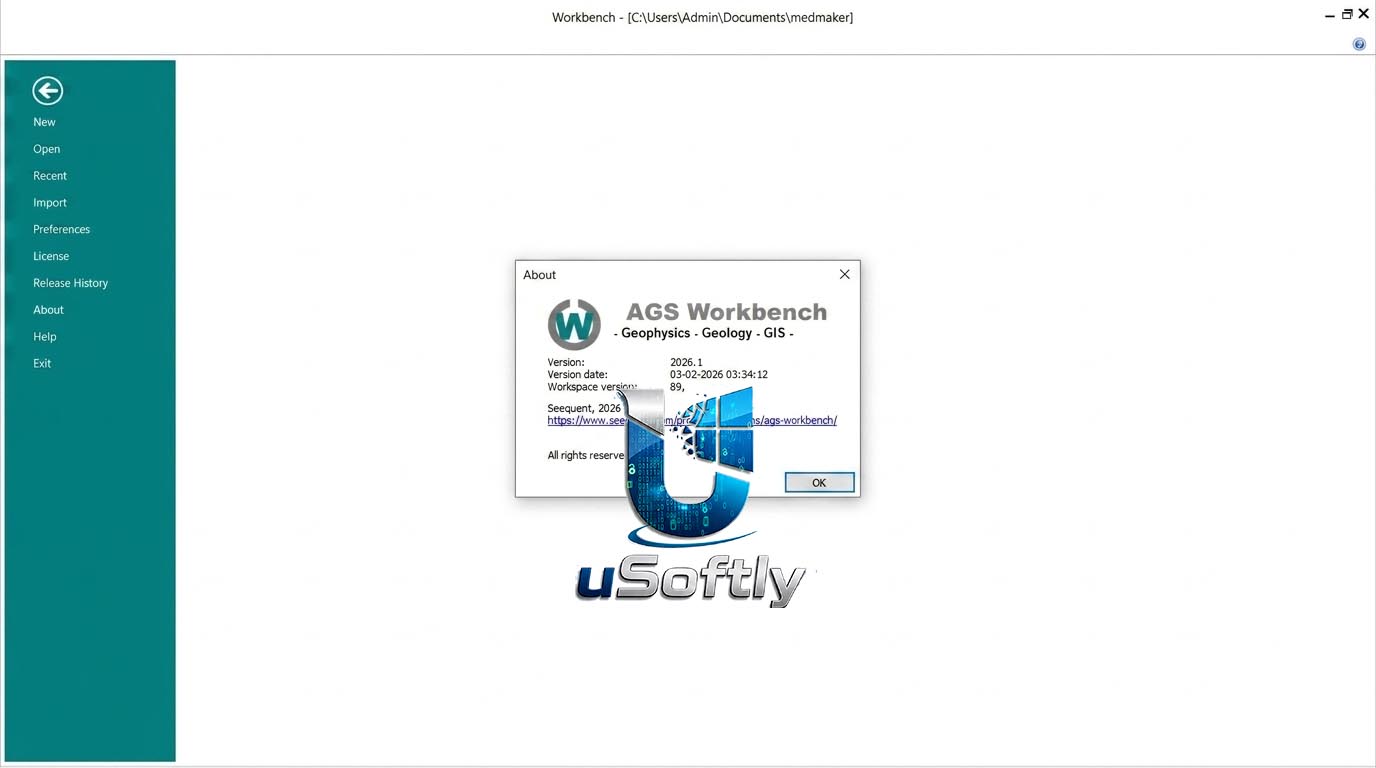
Seequent AGS WorkBench 2026.2.0 – Complete EM and ERT/IP Workflow Solution with Tilt Derivative Analysis
AGS WorkBench is a powerful and comprehensive software platform developed initially at Aarhus University to help protect groundwater resources by modeling the subsurface across Denmark . It has evolved into a leading solution for processing, inverting, and visualizing electromagnetic and resistivity data using purpose‑built extensions, providing an integrated workflow that supports the entire process from raw data to final models .
The software is built around a GIS platform that integrates with powerful visualization tools, including interactive Views, a 3D Viewer, and a Quality Check (QC) tool with over 60 GIS themes for assessing data quality and model parameters . It relies on the fast and robust AarhusInv inversion code for high‑performance modeling and supports lateral (LCI) and spatial (SCI) constrained inversion to create pseudo‑2D and 3D models .
WorkBench 2026.2.0 is a user‑driven release focused on clarity and control, improving the inversion workflow, streamlining data review, and expanding support for new TEM data formats.
Primary Users
AGS WorkBench 2026.1.0 is designed for geophysicists, hydrogeologists, environmental scientists, and mining professionals who need a comprehensive, integrated platform for processing, inverting, and visualizing electromagnetic (EM) and electrical resistivity tomography (ERT) data. It serves professionals who:
-
Process and invert large‑scale airborne EM, ground‑based EM, and ERT/IP surveys in a single workflow
-
Model Induced Polarization (IP) effects in EM data to produce more accurate subsurface resistivity models
-
Integrate geophysical models with borehole logs for robust geological interpretation
-
Generate professional visualizations including 2D sections, 3D models, and GIS‑ready themes for client or regulatory reporting
-
Leverage high‑performance computing for demanding inversion tasks using Aarhus Cloud Inversion (ACI)
Key Features & Capabilities
Integrated Processing and Inversion Workflow
-
All‑in‑One Platform: Combines processing, inversion modeling, and visualization in a single application, eliminating the need to switch between multiple tools .
-
Powerful AarhusInv Code: High‑performance modeling and inversion of airborne and ground‑based EM, GCM, ERT, MRS, and TDIP data. Supports LCI, SCI, smooth, blocky, sharp, and layered models .
-
IP Effects Modeling: Models IP effects alongside resistivity using Cole‑Cole or Maximum Phase Angle inversion, reducing data misfits and producing geologically sound models .
-
Auto‑Processing: Automates noise filtering for TEM data to remove interference from powerlines, pipes, and cables .
Data Import and Integration
-
Wide Instrument Support: Custom‑built importers for industry‑standard instruments and file formats, including SkyTEM, tTEM, and .dt1 .
-
GIS Integration: All data is tightly integrated with the GIS platform, supporting all EPSG coordinate systems for optimal data handling and visualization .
-
Borehole Integration: Compare inversion results with borehole lithology and geophysical logs in the same workspace .
Visualization and QC Tools
-
GIS Platform: Developed around a GIS interface that integrates with processing and visualization tools .
-
3D Viewer: Comprehensive 3D visualization of data, models, boreholes, and maps .
-
Views: Versatile interactive tool for processing and visualizing raw data and inverted models across specialized views tailored to specific workflows .
-
Quality Check (QC) Tool: Create point themes, grids, and images of data parameters; display model fit, DOI, and more using over 60 QC themes .
-
Themes: Extract resistivities, conductivities, depths, and thicknesses from inversion models and visualize as depth slices, point themes, or interpolated grids .
Extensions for Specialized Surveys
WorkBench offers dedicated extensions to optimize specific workflows :
-
Airborne TDEM: Single workflow from processing raw data to final visualization .
-
Ground‑based TDEM: For towed or moving systems .
-
ERT/IP: Inverts integral IP and full decay of IP signals .
-
Streamed ERT: For continuous towed DC data .
-
GCM (FDEM): Import, processing, and inversion of Ground Conductivity Meter data .
-
Hydro‑Structural Modeling (HSM): Combines resistivity models with lithology logs to create hydrostratigraphic cluster models .
-
Aarhus Cloud Inversion (ACI): Pay‑per‑use high‑performance computing for demanding inversion tasks .
What’s New in WorkBench 2026.2.0
Version 2026.1.0 is a user‑focused release shaped by feedback from teams working across large surveys, phased deliveries, and collaborative interpretation .
Key Highlights
-
Improved Inversion Workflow: Reduces errors and saves time with a more streamlined process.
-
All Parameters and Notes Centralized: Single location for transparent decision‑making.
-
Enhanced Workspace: Faster data review and quality checks.
-
Flexible Survey Management: Tools for splitting, sharing, and managing surveys.
-
Expanded TEM Support: Added compatibility with new TEM data types.
-
Direct Gerda Upload: For Danish users, enabling seamless upload to the Gerda database.




Reviews
There are no reviews yet.