
Download Trimble GPS Pathfinder Office 5.85 – Advanced GNSS Data Processing Software
Trimble GPS Pathfinder Office 5.85 is specialized GNSS data processing software developed by Trimble Inc. This application is designed for professionals in the geospatial, GIS mapping, and surveying fields, enabling high-precision GIS data development. It leverages advanced GNSS technologies, including differential corrections and H-Star data processing, to enhance the accuracy of collected data, supporting essential tasks in geographic information systems and land surveying operations.
Introduction to Trimble GPS Pathfinder Office
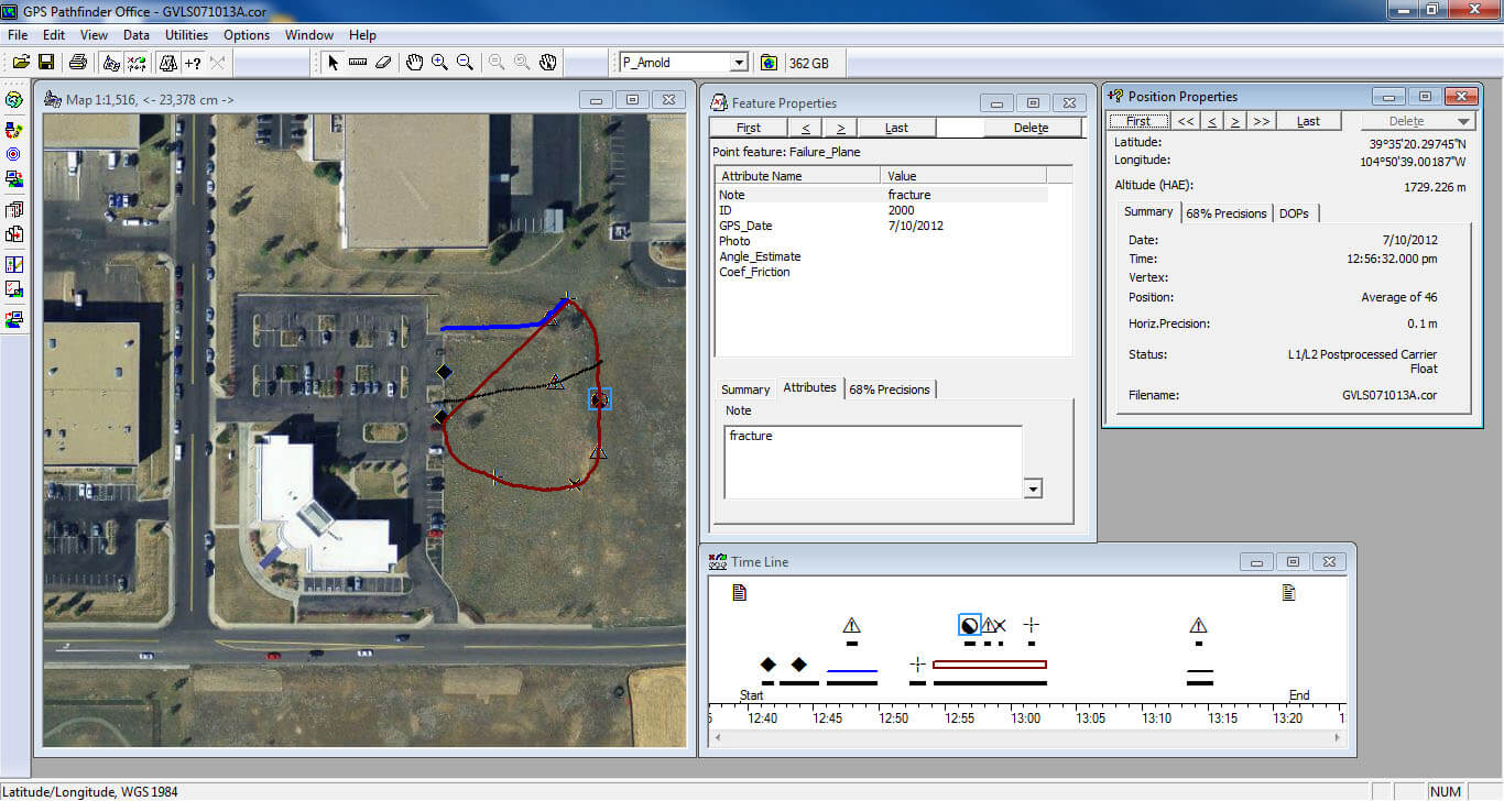
Trimble GPS Pathfinder Office serves as a critical tool for post-processing Global Navigation Satellite System (GNSS) data, offering survey and GIS professionals enhanced control over data quality and accuracy. Developed by Trimble Inc., a leader in geospatial technology, this software is integral to high-precision mapping and GIS data development workflows. It equips users with the capabilities to refine raw GNSS observations into reliable spatial information essential for decision-making across various industries.
Key Features and Technical Capabilities
Trimble GPS Pathfinder Office provides a robust suite of tools specifically engineered for GNSS data manipulation and analysis. Its advanced features are designed to maximize data quality and streamline the post-processing workflow for surveying and GIS professionals.
- Differential Corrections: Facilitates the application of real-time or post-mission differential corrections, significantly improving the accuracy of GNSS data beyond standard C/A code measurements.
- H-Star Data Processing: Supports the proprietary H-Star technology, allowing for sub-meter to decimeter-level accuracy without augmentation, critically important for high-precision mapping.
- GLONASS Support: Integrates GLONASS satellite data with GPS, increasing satellite visibility and improving data quality in challenging environments.
- Data Quality Control: Offers advanced editing and quality control mechanisms to review, assess, and improve the reliability of collected survey data.
- Data Export Options: Enables export of processed data into a variety of common GIS and CAD formats, ensuring compatibility for further analysis and project integration.
- Advanced Editing Tools: Includes comprehensive tools for editing features, attributes, and geometry of collected GIS data, enhancing the usability and completeness of the final dataset.
Integration with GIS and CAD Systems
Seamless integration with existing geographic information systems (GIS) and computer-aided design (CAD) software is a cornerstone of Trimble GPS Pathfinder Office. Its ability to handle various data formats ensures that processed GNSS data can be readily incorporated into broader project workflows.
The software supports a wide array of import and export formats, crucial for interoperability in complex spatial data projects. This compatibility allows survey and GIS professionals to transition processed GNSS data to platforms like Esri ArcGIS or AutoCAD Civil 3D without significant data transformation challenges. Such integration is vital for comprehensive land surveying, infrastructure planning, and environmental mapping where data must be shared and analyzed across different software environments.
High-Precision GNSS Applications
Trimble GPS Pathfinder Office is instrumental in applications demanding the highest levels of positional accuracy. Its advanced processing techniques enable high-precision mapping and data collection for critical infrastructure and environmental monitoring projects.
- Land Surveying: Used for precise boundary surveys, topographic mapping, and establishing control points for construction projects.
- Utilities Mapping: Facilitates accurate mapping of underground and above-ground utilities for network management and infrastructure maintenance.
- Environmental Monitoring: Supports the collection of precise location data for monitoring ecological changes, water resources, and wildlife habitats.
- Asset Management: Enables the accurate georeferencing of physical assets for efficient tracking and management in GIS databases.
- Construction Layout: Provides the foundation for accurate site layout and stakeout, ensuring construction projects adhere to design specifications.
How Trimble GPS Pathfinder Office Compares to Competitors
In the competitive landscape of GNSS data processing software, Trimble GPS Pathfinder Office distinguishes itself through its specialized focus on high-precision mapping and robust data quality control mechanisms. While other software packages may offer broad GIS functionalities, Pathfinder Office excels in refining raw GNSS observations into exceptionally accurate spatial datasets.
Its proprietary H-Star processing technology and advanced differential correction capabilities provide a significant advantage for applications requiring decimeter or sub-meter accuracy without reliance on expensive survey-grade receivers alone. The software’s comprehensive suite of quality assurance tools further sets it apart, offering users more confidence in the reliability of their final GIS data. This targeted approach makes it a preferred choice for professionals where data precision is paramount.
Industry Adoption and Case Studies
Trimble GPS Pathfinder Office is widely adopted across sectors that rely heavily on accurate spatial data. Its effectiveness is particularly evident in land surveying, municipal GIS departments, and environmental consulting firms.
In land surveying, it is used for boundary definition and topographic surveys where precise measurements are legally required. Municipalities utilize it for maintaining accurate GIS databases of infrastructure assets, such as roads, utilities, and public facilities. Environmental consultants employ the software for detailed mapping of conservation areas, pollution monitoring sites, and resource management projects, where even slight positional inaccuracies can impact analysis and findings. These applications underscore the software’s critical role in enabling informed decision-making through reliable geospatial data.
Frequently Asked Questions
What is Trimble GPS Pathfinder Office used for?
Trimble GPS Pathfinder Office is primarily used for processing GNSS data to create accurate and reliable GIS information, which is essential in surveying and mapping projects. It enhances the quality of collected spatial data, making it suitable for detailed analysis and integration into geographic information systems.
How does Trimble GPS Pathfinder Office ensure data accuracy?
The software employs differential corrections and the H-Star data processing technique, which enhance the quality and reliability of the captured GNSS data before integration with GIS applications. These methods refine raw measurements to achieve higher positional precision.
Can Trimble GPS Pathfinder Office export data to other formats?
Yes, Trimble GPS Pathfinder Office supports importing and exporting data in various GIS and CAD formats, ensuring compatibility with multiple platforms for seamless integration. This interoperability allows users to incorporate the processed data into their preferred project software.


Reviews
There are no reviews yet.