

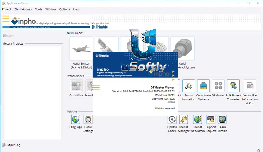
Trimble Inpho Photogrammetry v16.0.1: Professional Aerial Triangulation & Surface Modeling Software
Trimble Inpho Photogrammetry v16.0.1 is a comprehensive software suite for the precise transformation of aerial images into consistent and accurate geospatial data products – including dense point clouds, digital surface models (DSMs), true orthophotos, textured 3D meshes, and digitized vector features
The v16.0.1 release represents a significant advancement in the platform, introducing a fundamentally redesigned engine for surface deliverables within MATCH-3DX and UASMaster . This new engine delivers superior dense point clouds, true orthophotos, and textured meshes with the highest geometric accuracy and resolution. It enables faster, fully automated workflows and is built for future‑proof scalability
The software is compatible with state‑of‑the‑art photogrammetric camera systems and can be used as a complete system or as individual components that integrate easily into any photogrammetric production workflow using third‑party products . Inpho also supports airborne LiDAR scanning processing and automated city modeling for large‑scale urban mapping projects
???? Primary Users
This professional photogrammetry software is designed for:
-
Photogrammetrists & Geospatial Professionals performing aerial triangulation, orthorectification, and 3D feature extraction
-
Surveying & Mapping Companies producing orthophotos, digital terrain models (DTMs), and dense point clouds from aerial imagery
-
GIS & Remote Sensing Specialists integrating photogrammetric products into GIS workflows
-
Government & Military Mapping Agencies conducting large‑scale national mapping and surveillance projects
-
Environmental & Forestry Consultants generating accurate surface models for vegetation analysis and land cover classification
⚡ Key Features & Capabilities
???? What’s New in Version 16.0.1
| Feature | Description |
|---|---|
| Redesigned MATCH‑3DX & UASMaster Engine | Fundamentally new engine for surface deliverables providing superior dense point clouds, true orthophotos, and textured meshes with highest geometric accuracy and resolution |
| Faster Automated Workflows | New engine enables significantly faster processing and fully automated workflows, reducing manual intervention |
| Enhanced RealRay Technology | Continuously improved RealRay technology accurately models and corrects real light rays for atmospheric and geometric distortions, delivering high precision while eliminating complex pre‑processing steps such as calibration flights or scale factor application |
| Future‑Proof Scalability | New architecture designed to handle increasing data volumes and evolving processing demands |
???? Core Module Capabilities
Geo‑Referencing (Aerial Triangulation):
-
Market‑leading automatic aerial triangulation with complete camera calibration
-
Robust bundle adjustment and thorough quality assessment for image blocks of any size, overlap, or geometry
Geo‑Imaging (Orthophoto & Mosaicking):
-
OrthoMaster – Professional software for high‑quality orthorectification
-
OrthoVista – Creation of seamless orthomosaics from multiple images
-
MATCH‑3DX – True orthophoto capability with new engine in v16.0.1
Geo‑Capturing (Surface & Feature Extraction):
-
MATCH‑3DX – Generate large‑scale, dense point clouds with unprecedented precision
-
MATCH‑T DSM – Automatically create digital twin terrain and surface models
-
Summit Evolution – Collect 3D features directly into ArcGIS, AutoCAD, Global Mapper, or MicroStation
Geo‑Modeling (Point Cloud & Terrain Editing):
-
DTMaster – Powerful point cloud and LiDAR data editing, refining, and CAD/GIS mapping
-
SCOP++ – Efficiently process hundreds of millions of DTM points





Reviews
There are no reviews yet.