
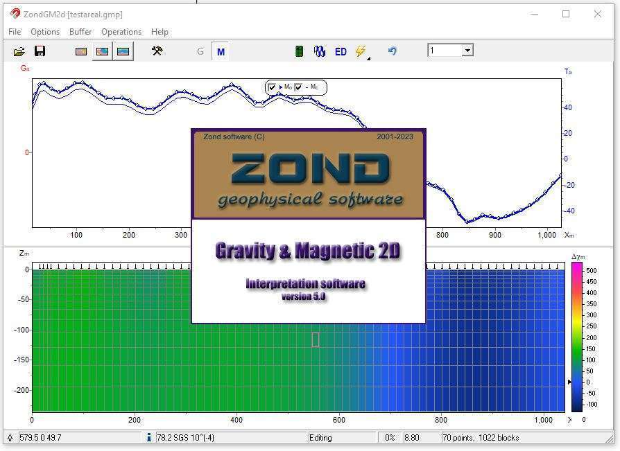
Download ZondGM 2D 5.0 – Advanced Software for Gravity and Magnetic Survey Interpretation
ZondGM 2D 5.0 is a specialized geophysical data interpretation software developed by Zond Software. This application is designed for professionals in geophysical surveying, geology, mineral exploration, and environmental monitoring. It offers sophisticated tools for the advanced interpretation of gravity and magnetic survey data, building upon the capabilities of its predecessors, ZondMag2D and ZondPGM, to provide enhanced analysis for both land and airborne data.
Overview of ZondGM 2D 5.0 and Its Applications
Introduction to ZondGM 2D
ZondGM 2D 5.0 represents a significant advancement in geophysical data interpretation software, consolidating the strengths of previous versions such as ZondMag2D and ZondPGM. Developed by Zond Software, this application focuses on the detailed analysis of gravity and magnetic survey data. It is engineered to support a wide array of geological tasks, providing geophysicists and geologists with powerful tools for extracting meaningful insights from complex datasets.
Key Features and Modeling Techniques
Types of Models Available in ZondGM 2D
ZondGM 2D 5.0 supports several distinct modeling approaches, enabling users to adapt their interpretation strategies to specific geological scenarios and data types. These models facilitate a comprehensive understanding of subsurface structures.
- Regular Mesh Models: These models divide the subsurface into a grid of cells, allowing for detailed spatial representation of physical property variations. They are particularly effective for areas where subsurface structures can be approximated by uniform zones.
- Polygonal Bodies: Designed for interpreting discrete geological features, polygonal models define distinct bodies with defined boundaries. This approach is useful for modeling intrusions, faults, or mineralized zones where sharp delineation is key.
- Arbitrary Layered Models: This flexible model type is suited for interpreting layered earth structures, accommodating variations in thickness and composition. It is highly applicable in sedimentary basins and areas with stratified geology.
Advanced Algorithms and Data Processing
Inversion Algorithms and Their Importance
The core functionality of ZondGM 2D 5.0 lies in its advanced inversion algorithms. These algorithms are crucial for recovering subsurface physical properties from surface geophysical measurements, transforming raw data into interpretable geological models.
- Enhanced Inversion: The software employs sophisticated algorithms to perform non-linear inversion for both gravity and magnetic data, enabling the recovery of petrophysical parameters.
- Model Resolution: ZondGM 2D facilitates the recovery of model parameters with optimal resolution, crucial for distinguishing between closely spaced geological features or identifying subtle variations in geophysical parameters.
- Data Interpretation: These inversion processes are fundamental for detailed geological interpretation, helping users to accurately map subsurface structures and understand their physical characteristics, such as density and magnetic susceptibility.
User-Friendly Interface and Visualization Tools
ZondGM 2D 5.0 features an intuitive interface designed to streamline the complex process of geophysical data interpretation. The software provides robust visualization tools that allow users to effectively analyze and present their findings.
- Interactive Modeling: Users can interactively build and refine geological models, with direct visual feedback on how changes affect the predicted geophysical responses.
- Data Visualization: Comprehensive plotting capabilities allow for the detailed visualization of input data, model parameters, and inversion results, aiding in the identification of patterns and anomalies.
- Multiprofile Interpretation: The software supports the interpretation of multiple profiles simultaneously, enhancing efficiency and consistency when analyzing extensive survey areas.
Integration with Other Data Sources
To improve the accuracy and reliability of geophysical interpretations, ZondGM 2D 5.0 allows for the integration of various data sources. This capability enables a more holistic understanding of subsurface conditions.
- Multidata Fusion: The software can incorporate borehole data, geological maps, and other relevant information to constrain geophysical models, leading to more geologically plausible interpretations.
- Combined Modeling: By integrating different datasets, users can perform combined inversion or apply constraints derived from one data type to improve the interpretation of another, such as using seismic information to guide gravity model structures.
- Contextual Analysis: This integration helps attribute geophysical anomalies to specific geological features or processes, enhancing the overall quality of the interpretation in mineral exploration or environmental assessments.
Real-World Applications in Geophysics
ZondGM 2D 5.0 is an invaluable tool for a variety of practical geophysical applications across different industries, supporting professionals in making informed decisions based on detailed subsurface analysis.
- Mineral Exploration: The software is extensively used to identify potential ore bodies by interpreting gravity and magnetic anomalies associated with mineral deposits.
- Environmental Monitoring: Applications include mapping subsurface features related to groundwater resources, landfill sites, or geological structures that may pose environmental risks.
- Geological Research: Academics and researchers utilize ZondGM 2D for studying crustal structures, tectonic settings, and the physical properties of subsurface materials.
- Engineering Geophysics: It aids in assessing ground conditions for infrastructure projects, such as tunnels or building foundations, by identifying subsurface variations.
Frequently Asked Questions
What are the key features of ZondGM 2D 5.0?
ZondGM 2D 5.0 integrates advanced inversion algorithms for modeling gravity and magnetic survey data. It supports three modeling types—regular mesh, polygonal bodies, and arbitrary layered models—allowing for comprehensive analysis of geological structures. The software’s multiprofile interpretation capabilities and petrophysical parameter recovery further enhance its utility for complex geophysical tasks.
How does ZondGM 2D compare with its predecessors?
ZondGM 2D combines the strengths of ZondMag2D and ZondPGM, offering enhanced features for multiprofile interpretation and a broader range of modeling options, which make it more effective for complex geological surveys. This consolidated approach provides a more powerful and versatile platform for gravity and magnetic data analysis.
In which industries can ZondGM 2D be utilized?
ZondGM 2D is primarily used in geological surveying, mineral exploration, environmental monitoring, and academic research, making it applicable across various industries seeking precise geophysical data interpretation. Its capabilities support professionals in understanding subsurface geology for resource assessment, environmental impact studies, and scientific investigation.


Reviews
There are no reviews yet.