
Download ZondGM 3D 3.0 – Advanced Geophysical Interpretation Software
ZondGM 3D 3.0, developed by Zond Software, is a specialized geophysical software application designed for the three-dimensional interpretation of gravity and magnetic data. This tool is aimed at professionals in geophysics, geological surveys, and resource exploration, providing sophisticated capabilities for geological modeling and analysis.
Introduction to ZondGM 3D
Overview of Capabilities
ZondGM 3D focuses on the advanced interpretation of gravity and magnetic survey data. It enables users to construct three-dimensional geological models by leveraging sophisticated mathematical modeling techniques. The software is instrumental in understanding subsurface geological structures and variations, which is vital for numerous geophysical applications.
Key Features of ZondGM 3D
Interpretation and Modeling Tools
The software provides robust tools for geophysical data interpretation and modeling, which are essential for generating accurate geological insights.
- 3D Inversion: Implements various inversion methods, including smoothing inversion to create gradual subsurface models and focusing approaches for piece-wise smoothed models of geophysical parameters.
- Geological Modeling: Facilitates the construction of detailed 3D geological models based on interpreted gravity anomalies and magnetic susceptibility data.
- Parameter Estimation: Supports the estimation of physical property distributions within the subsurface for comprehensive geological analysis.
- Data Integration: Allows for the coherent analysis of geophysical observation methodologies to support integrated geological interpretations.
Data Visualization and User Interface
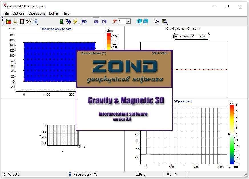
ZondGM 3D features a user-friendly interface designed to enhance the visualization and analysis of complex geophysical datasets.
- Interactive Visualization: Offers advanced visualization tools, including the display of geological data through sections and isosurfaces, enabling clearer interpretation of subsurface structures.
- 3D Model Representation: Users can effectively represent and manipulate 3D geological models, aiding in the understanding of spatial relationships between geological features.
- Intuitive Design: The interface is structured to streamline workflows for geophysicists and geologists, making complex operations more accessible.
Applications in Geophysics
ZondGM 3D is utilized across various facets of the geophysics field, supporting critical tasks in exploration and environmental studies.
- Resource Exploration: Aids in the identification and delineation of mineral deposits by interpreting gravity and magnetic signatures associated with ore bodies.
- Geological Surveys: Provides essential tools for mapping subsurface geology, faults, and structural boundaries in regional and detailed surveys.
- Environmental Assessments: Assists in identifying geological hazards, groundwater resources, and subsurface contamination plumes through geophysical data interpretation.
- Engineering Geophysics: Supports the investigation of shallow subsurface conditions for infrastructure projects and construction.
Comparison with Other Geophysical Software
ZondGM 3D differentiates itself through a combination of specialized functionalities and user-centric design in the competitive geophysical software market.
While other geophysical software may offer broad functionalities, ZondGM 3D particularly excels in its dedicated focus on 3D interpretation of gravity and magnetic data. Its robust visualization capabilities, offering diverse representations like sections and isosurfaces, provide users with intuitive tools for complex data analysis. This, combined with its integrated inversion methods, allows for a more detailed and user-friendly approach to building accurate geological models.
Use Cases and Field Applications
The practical application of ZondGM 3D has led to successful outcomes in various geological investigation projects.
- Mineral Deposit Characterization: Case studies demonstrate its use in mapping the extent and depth of metallic ore bodies by analyzing subtle gravity and magnetic anomalies.
- Subsurface Structure Mapping: Utilized in projects requiring detailed mapping of fault systems and basement structures for regional geological understanding.
- Geothermal Resource Prospecting: Applied to identify potential geothermal reservoirs by interpreting density and magnetic variations indicative of heat sources or geological formations.
- Environmental Site Characterization: Employed in assessing landfill sites or contaminated areas by visualizing subsurface features and anomalies.
Conclusion and Further Resources
ZondGM 3D 3.0 from Zond Software stands as a powerful tool for geophysical data interpretation, offering advanced 3D modeling and visualization capabilities crucial for modern geological exploration and analysis. Its specialized features support detailed interpretations of gravity and magnetic data, empowering geoscientists in their endeavors.
For professionals seeking to enhance their geophysical data interpretation workflows, ZondGM 3D provides a comprehensive solution. Further exploration of its technical documentation and user testimonials may offer deeper insights into its application in specific geological contexts.
Frequently Asked Questions
What is ZondGM 3D used for?
ZondGM 3D is designed for the three-dimensional interpretation of gravity and magnetic data, crucial for geological surveys and resource exploration. It utilizes advanced modeling techniques to analyze geophysical phenomena and construct detailed subsurface geological models.
How does ZondGM 3D handle data visualization?
ZondGM 3D offers a range of visualization tools allowing users to represent geological data through various formats such as sections and isosurfaces, aiding in clearer interpretations of complex datasets and subsurface structures.
What types of inversion methods are implemented in ZondGM 3D?
ZondGM 3D implements several inversion methods including smoothing inversion for producing smooth models and focusing approaches for piece-wise smoothed models of geophysical parameters, enabling users to derive detailed physical property distributions.


Reviews
There are no reviews yet.