
Download Leica Cyclone – Advanced Point Cloud Processing Software
Leica Cyclone Software, developed by Leica Geosystems, is a powerful application designed for advanced point cloud processing. It serves professionals in surveying, construction, and mechanical engineering by providing robust tools for managing and analyzing data from 3D laser scanners. The software is a key component in workflows requiring high-accuracy spatial data handling.
Introduction to Leica Cyclone
Overview of the Software
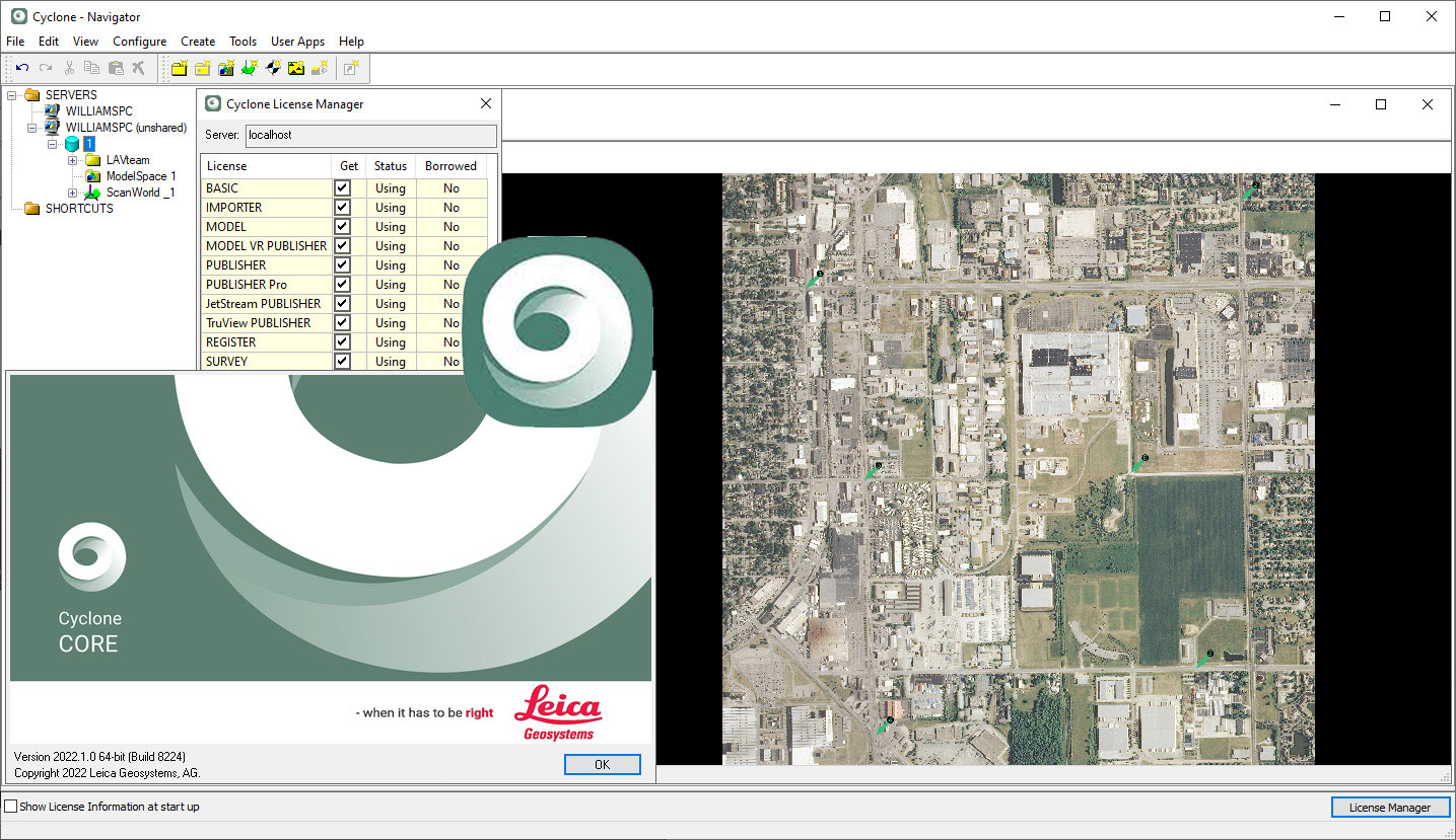
Leica Cyclone Software is a leading solution for handling complex point cloud data generated by 3D laser scanning technologies. It is engineered to process, analyze, and manage large datasets efficiently, enabling users to derive meaningful information for diverse engineering and geodetic applications. Its significance lies in its capacity to integrate diverse data sources and automate demanding processing tasks, making it an indispensable tool for professionals in geospatial and construction industries.
Key Features and Functionalities
Point Cloud Processing Capabilities
Leica Cyclone offers a comprehensive suite of tools for advanced point cloud processing. These capabilities are crucial for transforming raw scan data into usable project information. The software is designed to handle the complexities inherent in laser scanning data, facilitating detailed analysis and interpretation.
- Sophisticated algorithms for noise reduction and data cleaning of large point clouds.
- Tools for geometric analysis, measurement, and feature extraction from scan data.
- Support for meshing and surface generation from point cloud information.
- Cloud processing capabilities for efficient handling of massive datasets.
Integration with Leica Geosystems Hardware
A core strength of Leica Cyclone Software is its seamless integration with Leica Geosystems’ range of 3D laser scanners and other hardware. This synergy ensures efficient data transfer and optimized usage of captured information, enhancing the overall accuracy and workflow for surveying and scanning projects.
- Direct data import from various Leica laser scanner models.
- Optimized performance when paired with Leica Geosystems surveying instruments.
- Facilitates a streamlined workflow from data acquisition in the field to final processing in the office.
Industry Applications
Leica Cyclone Software is utilized across various technical fields, offering specialized functionalities for each. Its adaptability supports complex project requirements in industries demanding high precision and detailed spatial understanding.
- Construction: Used for site monitoring, progress tracking, quality control, and as-built documentation of structures.
- Mechanical Engineering: Applied in reverse engineering, quality inspection of manufactured components, and clash detection in complex assemblies.
- Geodesy and Surveying: Essential for creating detailed topographic maps, land surveying, monitoring infrastructure, and managing large-scale geospatial projects.
- Architecture: Utilized for historical preservation, building renovation planning, and creating precise digital models of existing structures.
Output Formats and Data Management
Leica Cyclone Software supports a range of industry-standard and proprietary output formats, ensuring flexibility in data sharing and compatibility with other software solutions. Effective data management is a key aspect, allowing users to organize and access project files efficiently.
- Support for proprietary LGS file format for optimal data interchange within the Leica ecosystem.
- Export capabilities to common formats suitable for CAD and BIM software.
- Generation of reports, animations, and 3D models for client presentations and further analysis.
- Tools for organizing, archiving, and managing large volumes of point cloud data.
Real-World Case Studies
The practical application of Leica Cyclone Software is evident in numerous successful projects across different sectors. These examples highlight the software’s capability to solve complex spatial challenges.
- In structural design, Leica Cyclone was used to capture precise measurements of existing infrastructure, enabling engineers to design retrofits with high accuracy.
- For large-scale construction projects, the software facilitated continuous site monitoring, ensuring adherence to design specifications and timely detection of deviations.
- Geospatial surveyors employed Leica Cyclone to process extensive data from heritage sites, creating detailed 3D models for preservation and documentation purposes.
Comparison with Similar Software
While multiple point cloud processing solutions exist, Leica Cyclone distinguishes itself through its tight integration with Leica Geosystems hardware and its specialized workflow tools. Competitor software may offer broader features but often lack the optimized performance and data synergy provided by Cyclone when used with Leica scanners.
- Leica Cyclone’s primary differentiator is its native support and optimized processing for data captured by Leica laser scanners.
- The software’s advanced modules are tailored for specific engineering disciplines, offering workflows not commonly found in more generalized point cloud software.
- Its use of the LGS format ensures efficient data handling and transfer within the Leica ecosystem, benefiting users who rely on multiple Leica products.
Frequently Asked Questions
What is Leica Cyclone used for?
Leica Cyclone is primarily used for processing point cloud data from 3D laser scanning. It is widely applied in fields like geodesy, construction, and mechanical engineering, providing advanced capabilities for data integration and workflow enhancement.
How does Leica Cyclone integrate with Leica Geosystems hardware?
Leica Cyclone seamlessly integrates with Leica Geosystems laser scanners, allowing for complex data acquisition and processing. Its modules facilitate automatic interactions and enhance data accuracy during surveys.
What output formats does Leica Cyclone support?
Leica Cyclone supports multiple output formats, including maps, reports, animations, and 3D models. Notably, it uses the LGS format for data interchange, ensuring compatibility with other HDS-enabled software.


Reviews
There are no reviews yet.