
Download Carlson Survey OEM 2026 – Advanced Surveying Software for Field Data Collection
Carlson Survey OEM 2026 is an advanced surveying software solution developed by Carlson Software, engineered specifically for OEM integration into rugged field data collection devices. This specialized version caters to land surveyors, civil engineers, construction surveyors, and GIS professionals by providing robust tools directly on field hardware. Its primary purpose is to facilitate efficient and accurate data collection and analysis in demanding environments, bridging the gap between field operations and office-based design and drafting.
Overview of Carlson Survey OEM 2026 and Its Applications in Surveying
Carlson Survey OEM 2026 is designed to be embedded by hardware manufacturers into their proprietary rugged tablets and controllers. This OEM approach ensures a tightly integrated hardware-software solution optimized for field operations. The software is targeted at professionals in land surveying, civil engineering, and construction, enabling them to perform critical tasks directly on-site. Its deployment on rugged devices ensures reliability and performance even in harsh environmental conditions encountered during fieldwork.
Comprehensive Data Collection and Coordinate Geometry Tools
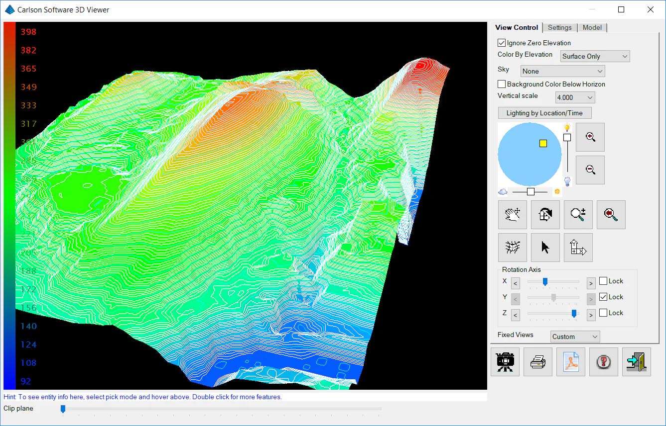
The software offers comprehensive capabilities for capturing field data essential for various surveying projects. This includes detailed topographic surveys, accurate boundary surveys, and thorough as-built documentation of existing conditions. Users can perform advanced Coordinate Geometry (COGO) calculations directly in the field, such as complex traverses, intricate area calculations, and volume computations, significantly reducing the need for post-processing or returning to the office for these tasks.
Construction Stakeout and GNSS Integration Enhancements
Carlson Survey OEM 2026 provides specialized stakeout routines designed for precision in construction projects. These routines support the layout of points, lines, curves, and even complex 3D grading designs. A key aspect of the software is its deep integration with GNSS receivers and total station hardware. The enhanced support for multi-constellation GNSS signals improves accuracy and reliability, particularly in challenging locations where satellite visibility might be obstructed.
Field-to-Finish Workflow and Customization Options
The software facilitates efficient field-to-finish workflows through intelligent linework coding, which automates the generation of survey drawings in Carlson’s office software based on collected field data. This streamlines the entire project lifecycle from data acquisition to final drawing production. Furthermore, Carlson Survey OEM 2026 offers extensive customization options for its interface and data forms, allowing companies to tailor the software to their specific project requirements, standards, and data management needs.
Latest Features Introduced in the 2026 Release
The 2026 release of Carlson Survey OEM introduces several significant advancements to enhance user productivity and accuracy:
- Full support for the Windows 11 IoT Enterprise platform, providing a modern and stable operating system environment for rugged devices.
- An AI-assisted “Intelligent Topo” mode that optimizes topographic point collection by analyzing terrain and suggesting appropriate point density, reducing manual effort and redundant data.
- Advanced BIM and 3D model stakeout capabilities, enabling surveyors to accurately lay out complex structure components and features directly from Building Information Models (BIM) and industry-standard file formats like IFC.
- A completely redesigned touchscreen user interface optimized for gesture-based interaction on modern rugged tablets, improving navigation and usability in the field.
Use Cases and Benefits for Surveying Professionals in Civil and Construction Fields
Carlson Survey OEM 2026 delivers tangible benefits to surveying professionals across various real-world scenarios. For boundary determination, its precise GNSS integration and COGO tools ensure accurate mapping and demarcation of property lines. In construction layout, the detailed stakeout routines allow for precise placement of foundations, utilities, roads, and grading, minimizing costly errors. Surveyors utilizing the software for topographic mapping benefit from the intelligent data collection features, producing comprehensive site models efficiently for design and planning purposes.
Frequently Asked Questions
What hardware platforms support Carlson Survey OEM 2026?
Carlson Survey OEM 2026 supports modern rugged field tablets and controllers running Windows 11 IoT Enterprise, replacing legacy Windows CE platforms. It is also compatible with hardware using Intel Atom, Celeron, or ARM-based Qualcomm Snapdragon processors as specified by OEM partners.
How does the “Intelligent Topo” mode improve survey data collection?
The AI-assisted “Intelligent Topo” mode in Carlson Survey OEM 2026 analyzes terrain changes to suggest optimal point density and locations during topographic surveys, reducing redundant shots and improving productivity in the field.
Can Carlson Survey OEM 2026 integrate with other Carlson office software and CAD platforms?
Yes, the software offers seamless field-to-finish workflows with intelligent linework coding that automatically generates survey drawings. It supports exporting and importing industry-standard formats like DXF, LandXML, and CSV for smooth integration with Carlson Civil, SurvCADD, and AutoCAD.


Reviews
There are no reviews yet.