
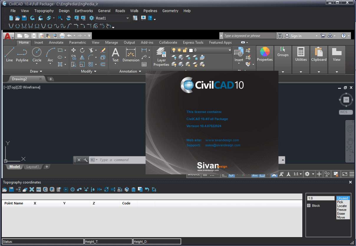
Download CivilCAD 2025 – Advanced Civil Engineering Design Software
CivilCAD 2025 is a specialized civil engineering design software developed by Sivan. Functioning as a powerful plugin for AutoCAD and BricsCAD, it significantly enhances their capabilities for professionals in civil engineering, surveying, and infrastructure design. This integrated solution is designed to streamline complex tasks related to road design, water and sewage systems, volumetric earthworks, and advanced topographic mapping, catering to the specific needs of civil engineers and surveyors working on infrastructure and urban planning projects.
Overview of CivilCAD 2025 and Its Role in Civil Engineering
CivilCAD 2025 serves as an essential tool for civil engineers and surveyors, extending the robust foundation of AutoCAD and BricsCAD with specialized functionalities. Its primary role is to facilitate detailed design and analysis for a variety of civil projects, including the creation of road networks, subterranean utility systems, and precise land development plans. By leveraging familiar CAD interfaces, CivilCAD 2025 ensures a smoother adoption process for professionals already experienced with these platforms, enabling them to tackle demanding engineering challenges with greater efficiency and accuracy.
Specialized Design and Mapping Tools Within CivilCAD
Roads, Canals, and Infrastructure Profile Design
CivilCAD 2025 provides comprehensive tools for the design of linear infrastructure. Users can generate accurate longitudinal and transverse profiles for roads, canals, and other linear projects, which are crucial for understanding terrain and planning construction. This capability supports detailed route planning and cross-section visualization essential for infrastructure development.
Topographic and 3D Land Modeling
The software excels in creating detailed topographic maps and sophisticated 3D land models. It allows engineers and surveyors to transform 3D point data into accurate terrain representations, supporting thorough site analysis. These models are fundamental for infrastructure planning, land development, and environmental impact assessments.
Hydrological and Drainage System Design
CivilCAD 2025 incorporates advanced hydrological analysis tools necessary for designing effective water management and drainage systems. Users can simulate water flow, plan for stormwater runoff, and design comprehensive networks for sewage and water supply. This feature is critical for sustainable urban planning and preventing infrastructure failure due to inadequate water management.
Technical Features Supporting Precision and Efficiency
Volumetric Calculations for Earthworks
Accurate calculation of earthworks is a core function of CivilCAD 2025. The software enables precise computation of excavation and fill volumes based on topographic data and design surfaces. This feature is vital for project cost estimation, material management, and ensuring efficient land development processes.
Route Optimization and Infrastructure Planning
CivilCAD 2025 assists in optimizing routes for roads, railways, and pipelines. By analyzing various design alternatives, engineers can identify the most cost-effective and efficient pathways, considering factors like terrain, existing infrastructure, and environmental constraints. This leads to improved project planning and reduced construction expenses.
Automation and Reporting Enhancements
The software features automation tools designed to enhance productivity and reporting. It can automatically generate essential engineering documents, such as cadastral maps, property boundary information, and detailed project reports. This automation significantly reduces the manual effort required for documentation and increases overall project workflow efficiency.
Integration with CAD Platforms and Standards Compliance
Compatibility with AutoCAD and BricsCAD
CivilCAD 2025 is engineered as a seamless plugin for both AutoCAD and BricsCAD. Its integration leverages the familiar user interfaces and command structures of these leading CAD platforms, ensuring a natural workflow for existing users. Installation is straightforward, allowing engineers to quickly access specialized civil design tools within their preferred environment.
Adherence to International Civil Engineering Standards
A key aspect of CivilCAD 2025 is its commitment to adhering to international civil engineering standards. This compliance ensures that designs generated are technically sound, meet regulatory requirements, and are accepted across global projects. The focus on standards reinforces the software’s suitability for professional, high-stakes engineering work.
Application Scenarios and Industry Use Cases
CivilCAD 2025 finds extensive application across various civil engineering disciplines. In urban planning, it aids in the design of new housing developments, incorporating efficient road networks and utility systems. For road construction projects, it supports detailed design from initial route planning through to the generation of construction-ready plans. Water management professionals utilize its hydrological analysis tools for designing sustainable drainage and wastewater infrastructure. Engineering firms and survey teams benefit from CivilCAD’s precision in topographic mapping and volumetric calculations, leading to more accurate bids, reduced material waste, and improved project outcomes.
Frequently Asked Questions
What types of civil engineering projects can CivilCAD 2025 help design?
CivilCAD 2025 supports a broad range of civil engineering projects including road and railway design, sewage and water supply networks, land leveling, and surface drainage systems. It provides tools to generate profiles, calculate earthwork volumes, and model topography accurately.
How does CivilCAD 2025 integrate with AutoCAD and BricsCAD?
CivilCAD 2025 functions as a plugin for AutoCAD and BricsCAD, extending their native CAD capabilities with specialized tools for civil engineering. This integration maintains familiar interfaces, making it easier for users to adopt while enabling advanced civil design functions.
Can CivilCAD 2025 perform volumetric calculations and hydrological analysis?
Yes, CivilCAD 2025 includes robust tools for volumetric calculations related to excavation and earthworks as well as hydrological analysis for designing water management and drainage systems, essential for infrastructure project accuracy.


Reviews
There are no reviews yet.