
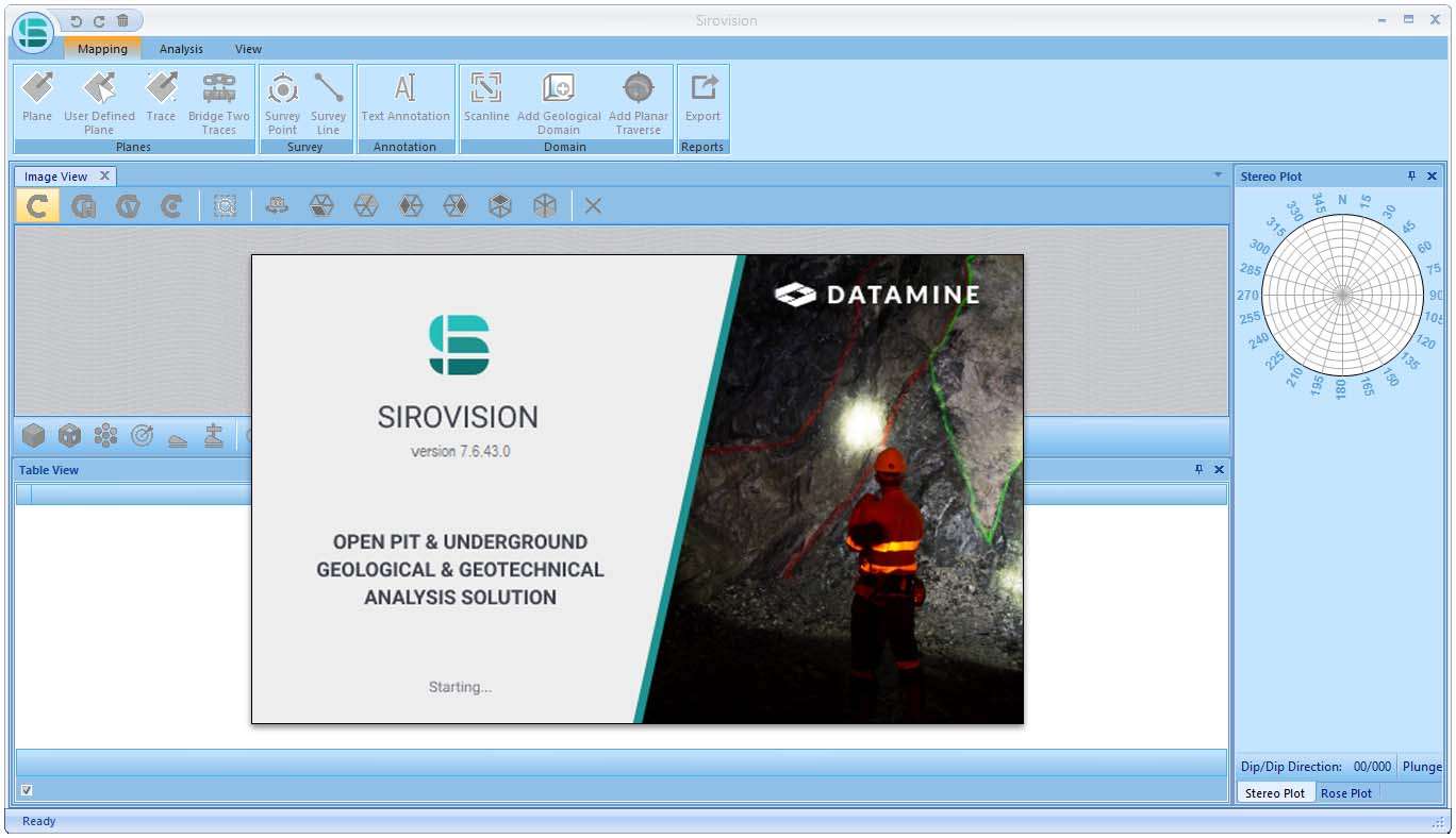
Download Datamine Sirovision 7.6.43 – Advanced 3D Photogrammetry Software for Mining Engineering
Datamine Sirovision 7.6.43 is an advanced 3D photogrammetry software developed by Datamine, a company recognized for its comprehensive mining software solutions. Specifically tailored for the mining engineering, geotechnical engineering, geological mapping, and mineral exploration sectors, this application leverages digital photogrammetry to generate precise 3D models of geological structures and mine surfaces. It is predominantly utilized by geotechnical professionals and mapping geologists to obtain detailed spatial data for analysis and planning.
Transforming Mining Operations with 3D Photogrammetry
Datamine Sirovision plays a crucial role in modern mining by converting multiple image spatial data into accurate three-dimensional representations of mine sites and rock formations. This capability is fundamental for detailed geological mapping and comprehensive spatial analysis, directly impacting operational safety and resource assessment within both surface and underground mining environments. The software’s foundation in photogrammetry allows for non-intrusive data capture, providing essential insights for effective mine planning and stability evaluations.
Precision Design and Structural Analysis Tools
The software equips users with specialized tools designed for the meticulous mapping of rock mass surfaces and the identification of geological discontinuities. Its analytical capabilities include:
- Stereonet plotting to visualize and analyze the orientation of structural features like planes and lines.
- Rose plot generation for representing directional data distributions of geological features.
- Automated wedge detection algorithms to identify and assess potential rock fall hazards in pit walls and underground excavations.
- Detailed characterization of faults, joints, and bedding planes, crucial for understanding ground behavior.
These features enable engineers to perform in-depth structural geology analysis directly from the photogrammetric models.
Compatible Data Formats and Integration with Mining Workflows
Datamine Sirovision is engineered for seamless integration into existing professional workflows. It supports various common 3D image file formats, facilitating the import of data captured by different imaging devices. Crucially, the software offers robust data export capabilities, allowing users to transfer processed information, such as discontinuity data and 3D mesh models, into formats compatible with other leading mining software packages. This interoperability ensures that Sirovision complements rather than replaces existing mine planning, geological modeling, and geotechnical analysis software in a user’s digital ecosystem.
Applications in Real-World Mining and Geotechnical Projects
The practical applications of Datamine Sirovision are diverse and vital for the mining and geotechnical industries. Geotechnical professionals utilize its precise 3D models for enhancing mine safety assessments by accurately mapping and analyzing hazardous geological structures. Mapping geologists employ Sirovision for detailed geological mapping, recording fault lines, joint sets, and other features with high spatial accuracy. Furthermore, the software aids in structural stability analysis by providing quantitative data on discontinuities, which is essential for designing safe and efficient excavations. It also assists in volume estimation for stockplies or excavations based on accurate surface modeling.
Advantages for Geotechnical Professionals and Mapping Geologists
Datamine Sirovision offers significant advantages for technical professionals requiring precise spatial data. For geotechnical engineers, the ability to accurately map and quantify rock mass discontinuities through photogrammetry leads to more reliable structural stability analyses and improved mine design. Mapping geologists benefit from the software’s capacity to create detailed and georeferenced 3D geological models, simplifying the visualization and interpretation of complex rock formations. By providing these detailed insights and facilitating integration with broader mine planning tools, Sirovision empowers these professionals to make more informed decisions, enhance operational safety, and optimize resource management.
Frequently Asked Questions
How does Datamine Sirovision improve 3D modeling accuracy in mining?
Datamine Sirovision uses advanced digital photogrammetry techniques to analyze spatial coordinates from multiple images, creating highly accurate 3D models of mine structures. This enhances geological mapping precision and helps identify structural discontinuities critical for mine safety.
What types of geological analyses can be performed with Sirovision?
Sirovision supports structural analyses such as stereonet plotting, rose diagram generation, and wedge detection, enabling detailed assessment of rock mass discontinuities and stability critical for geotechnical engineering.
Is Datamine Sirovision compatible with other mining software platforms?
Yes, Sirovision allows data export in multiple formats that are compatible with major mining software packages, facilitating seamless integration into existing digital workflows for mine planning and analysis.


Reviews
There are no reviews yet.